
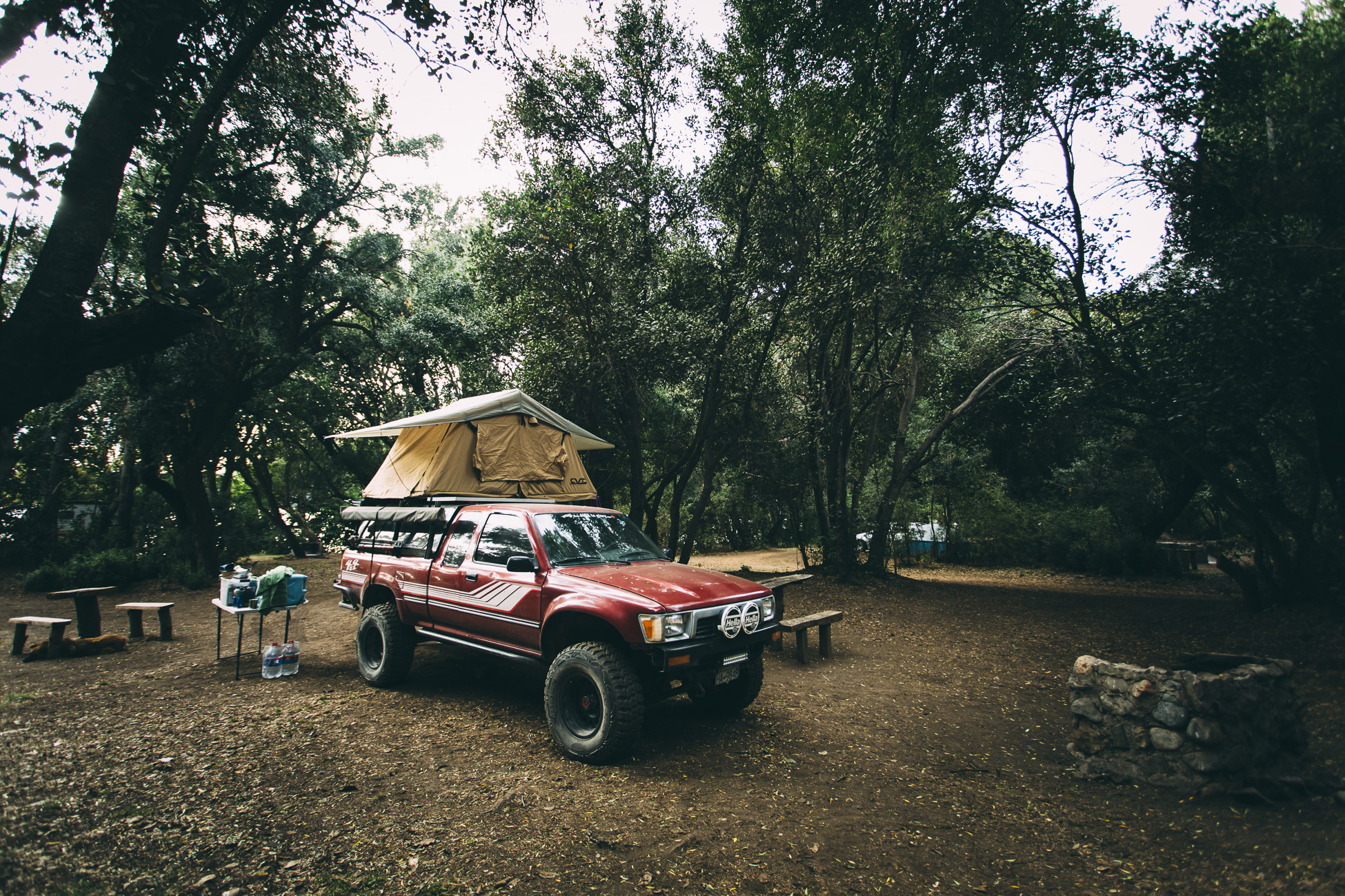
We made a quick stop in Bariloche (the largest town in Lakes District) to stock up on groceries and sample some chocolate at Mamuschka (try the hazelnut-filled one) before heading to our campsite at Lago Gutierrez. Bariloche was an interesting city. Only after driving through the outskirts on our way out did we notice the dichotomy of this tourist town. The backside is comprised of dirt roads and run-down buildings, making Argentina’s economic woes very evident to the passerby. The other side was filled with cottages and lodges constructed from wood and glass and could likely blend in amongst the chalets of the Swiss Alps (at least we imagine they would — when we go there we’ll let you know).
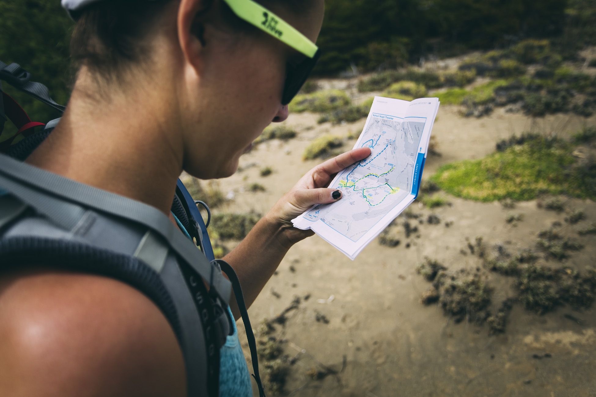
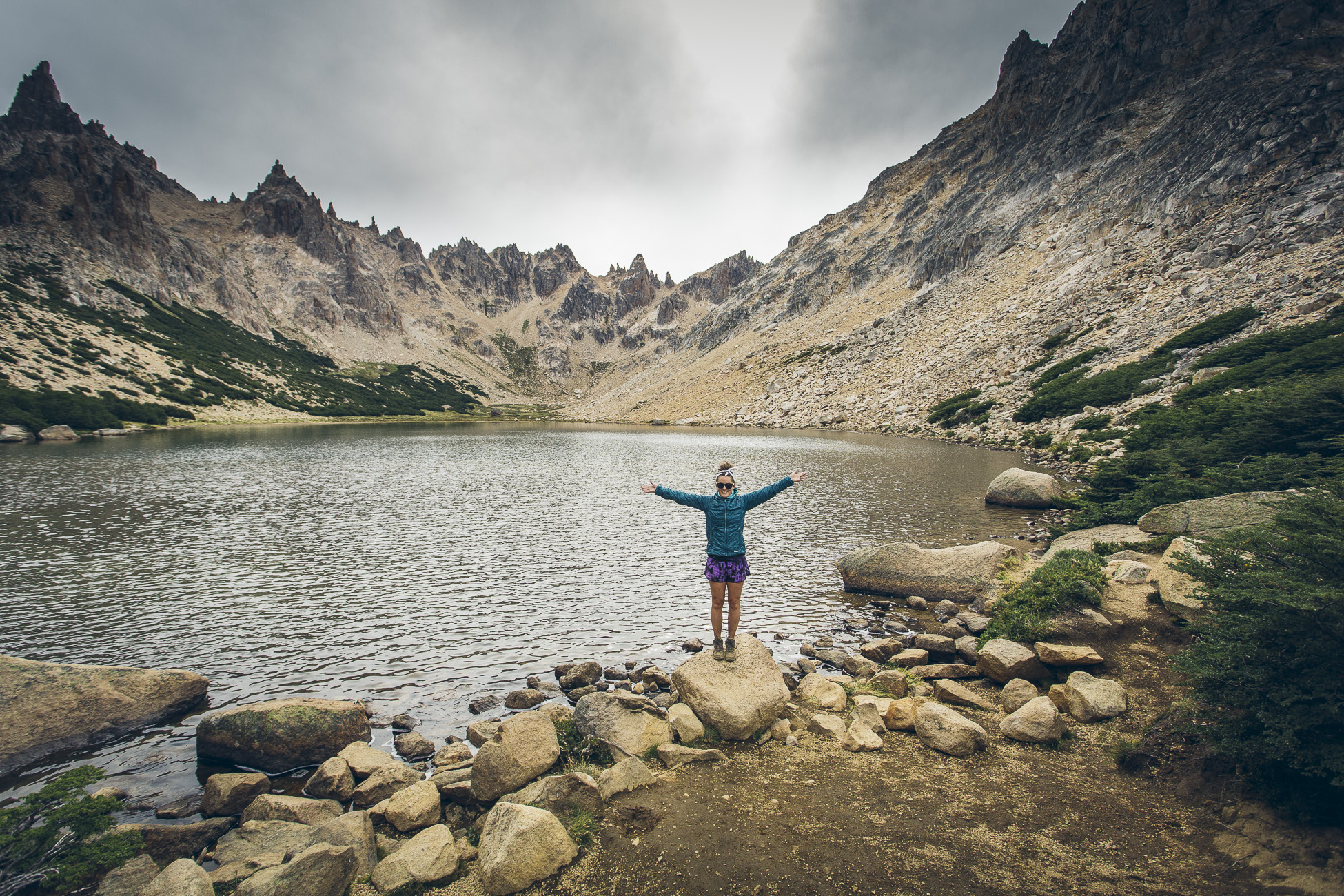
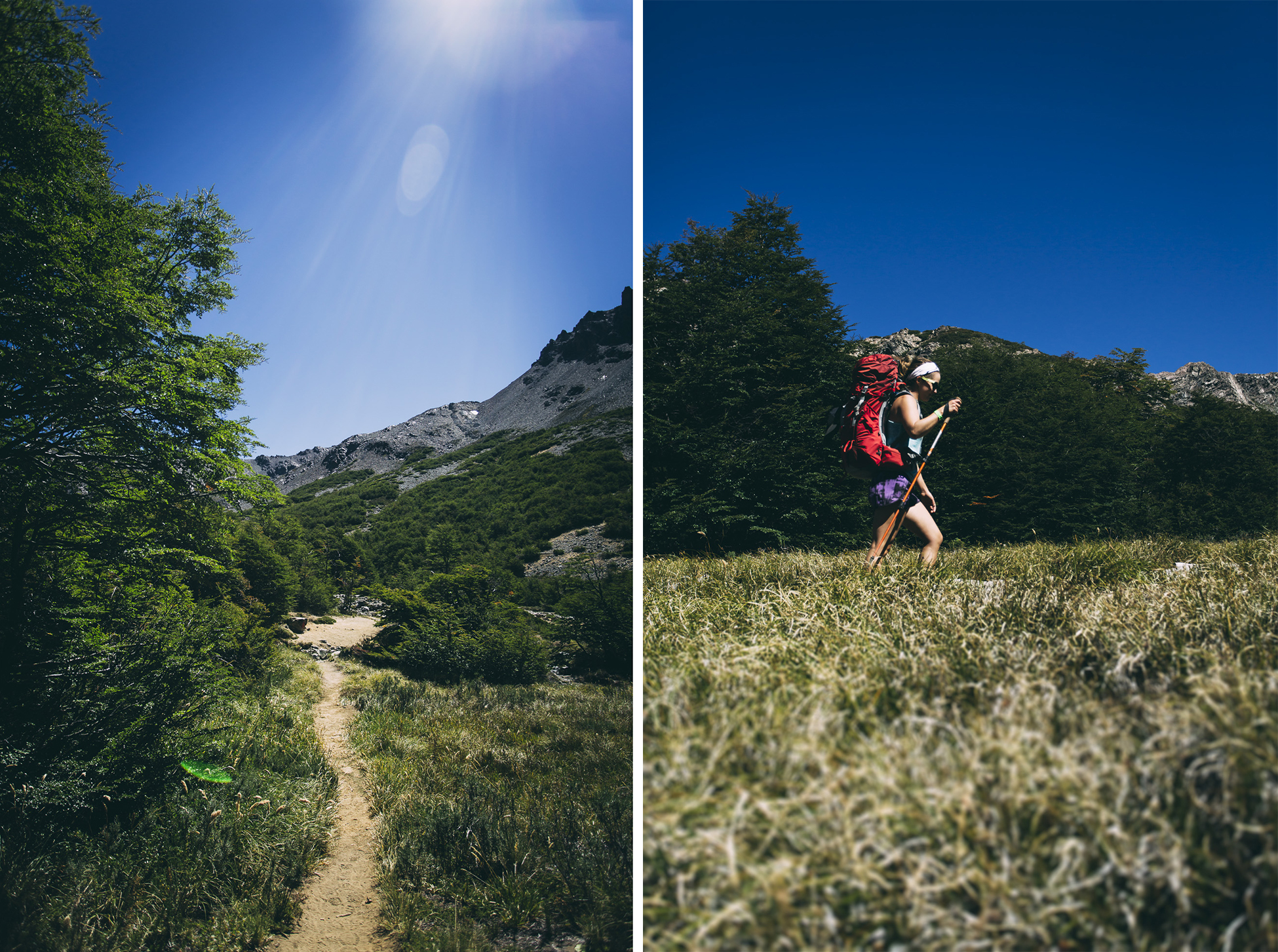
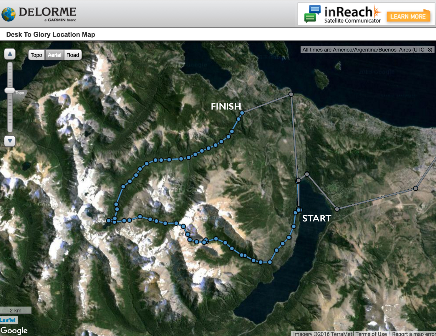
Our campsite was conveniently located within walking distance to one of the trailheads of the Nahuel Huapi Traverse, a multi-day trek which meanders over the mountain passes above Argentina’s Lakes District. As it was our first multi-day hike in quite some time, we chose the three day Circuito Chico instead of the 5-day full circuit.
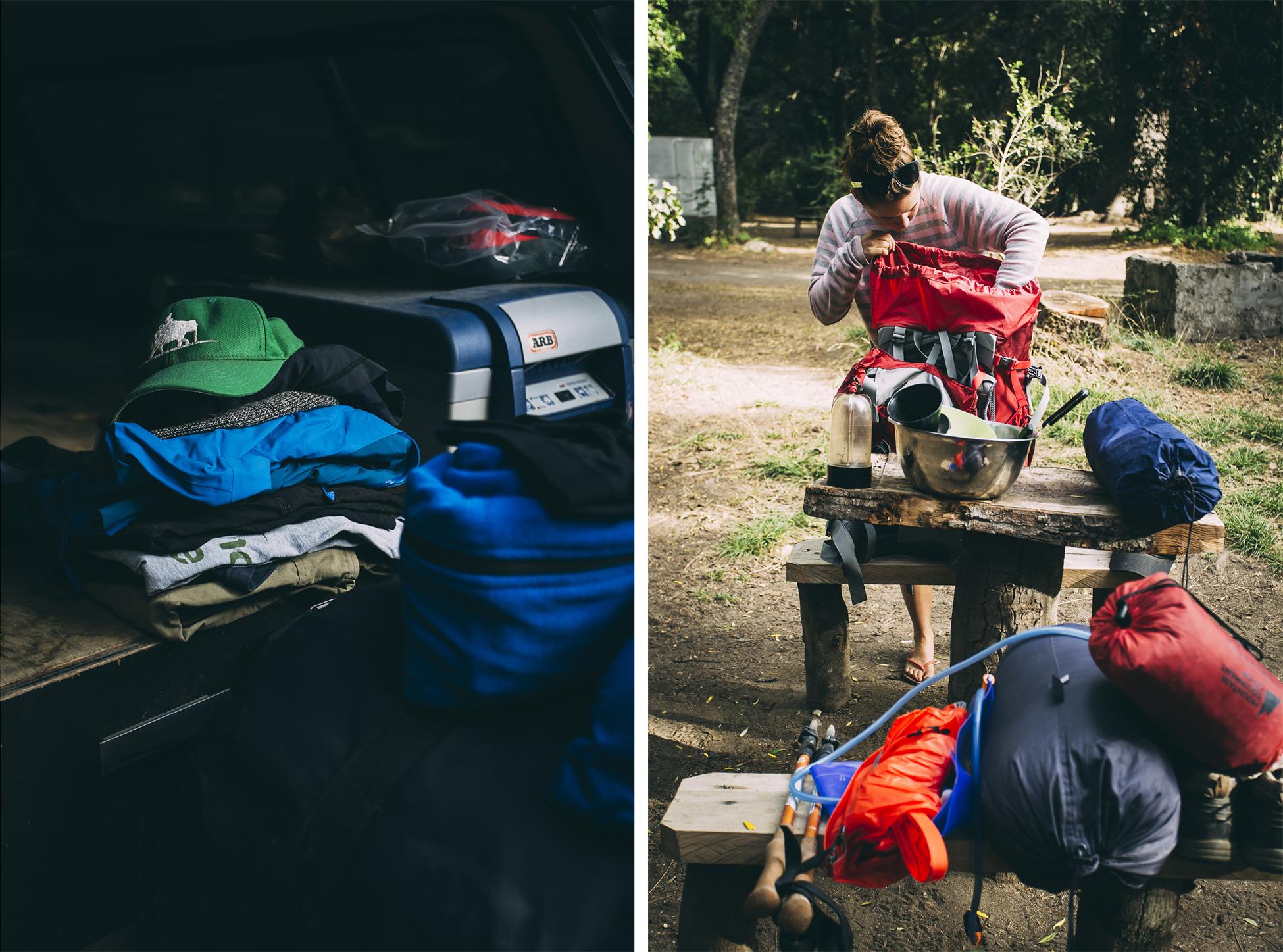
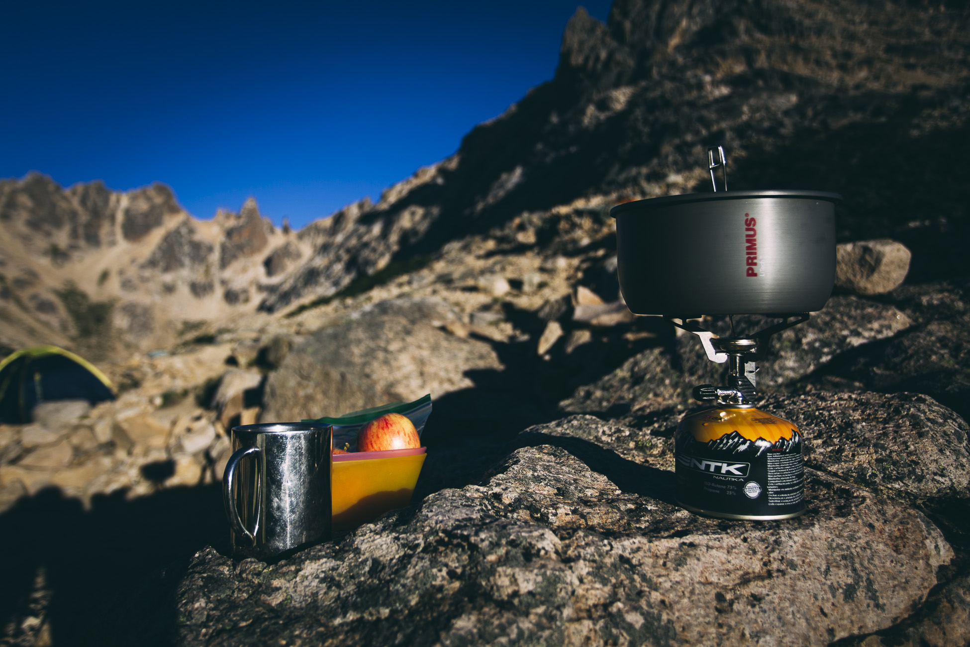
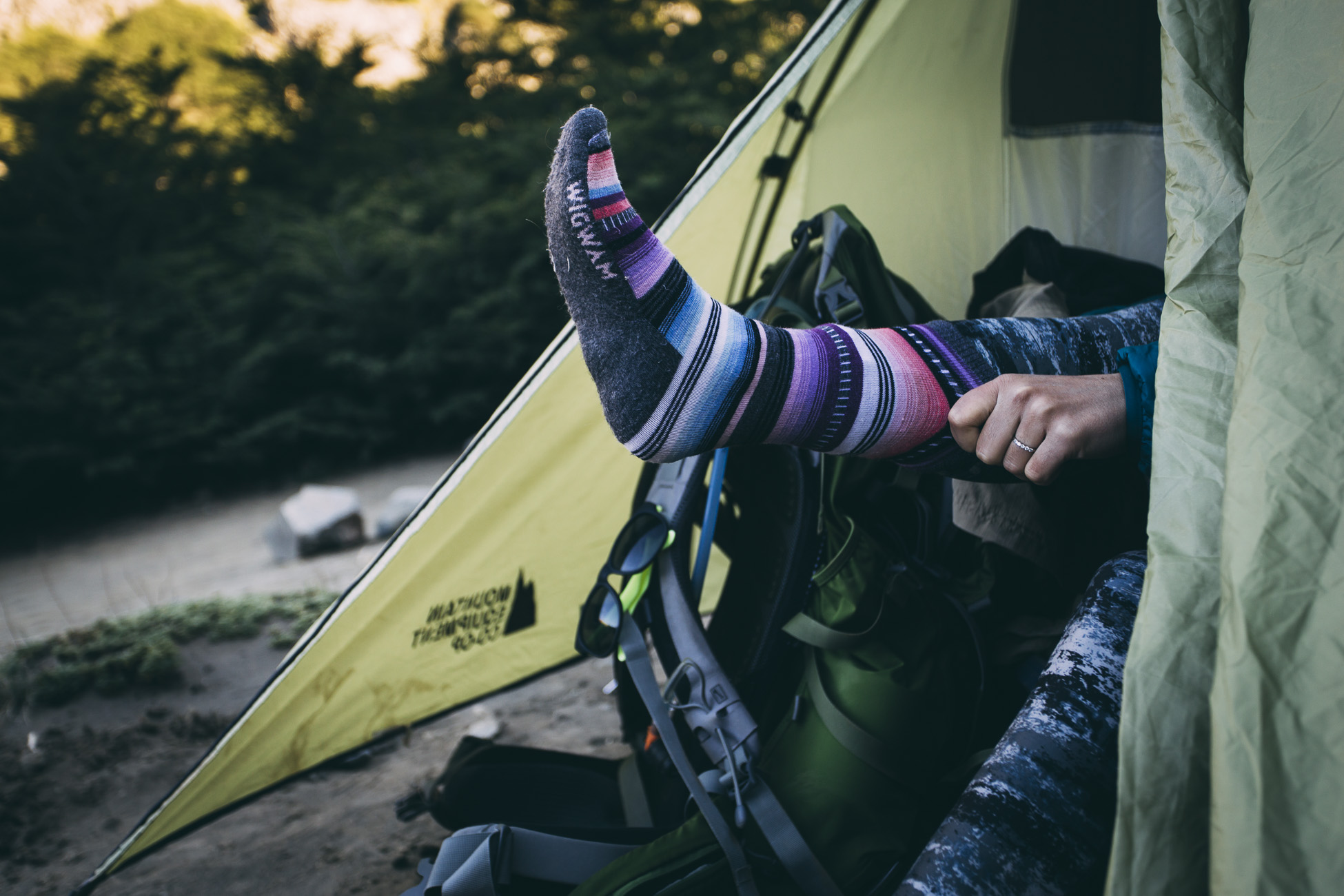
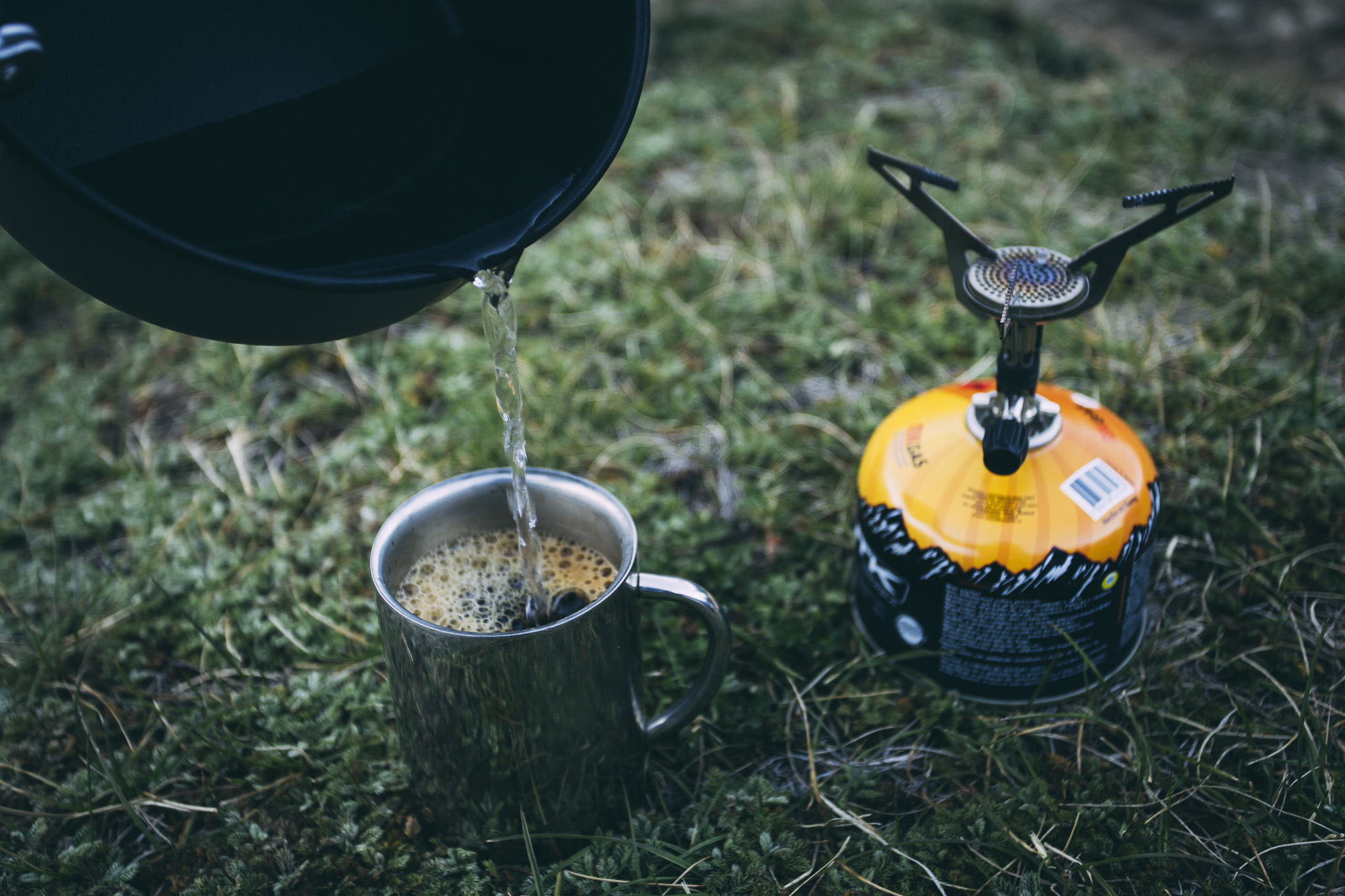
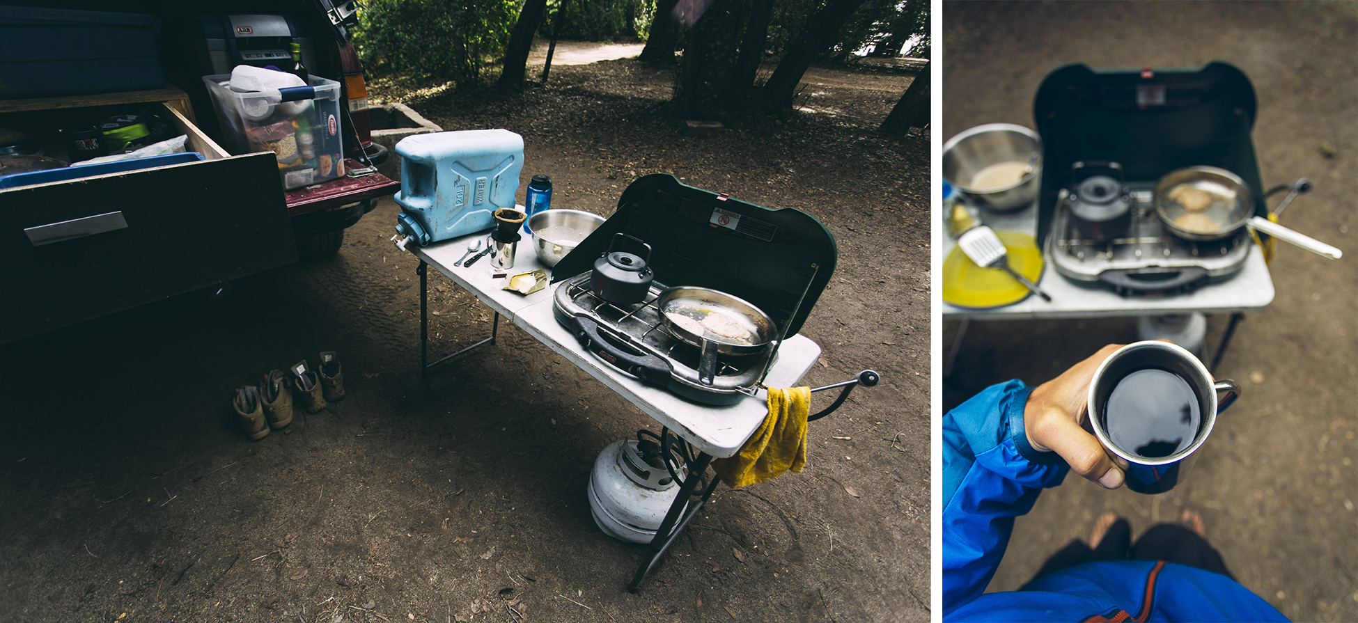
Packing for a multi-day trek involves time, checklists, and an explosion of gear, well, everywhere. Clothes piles, extra socks, flip flops, first aid kit, granola bars, Ziploc bags of homemade hummus, fuel canisters, dry bags, hiking poles… our stuff was spread all over our campsite but would have to eventually fit into our 65 and 70 litre backpacks.
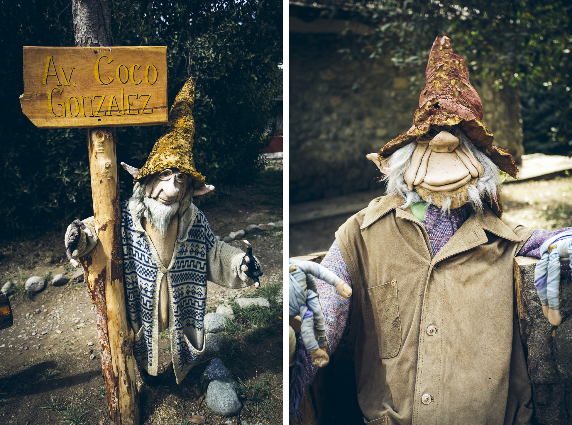
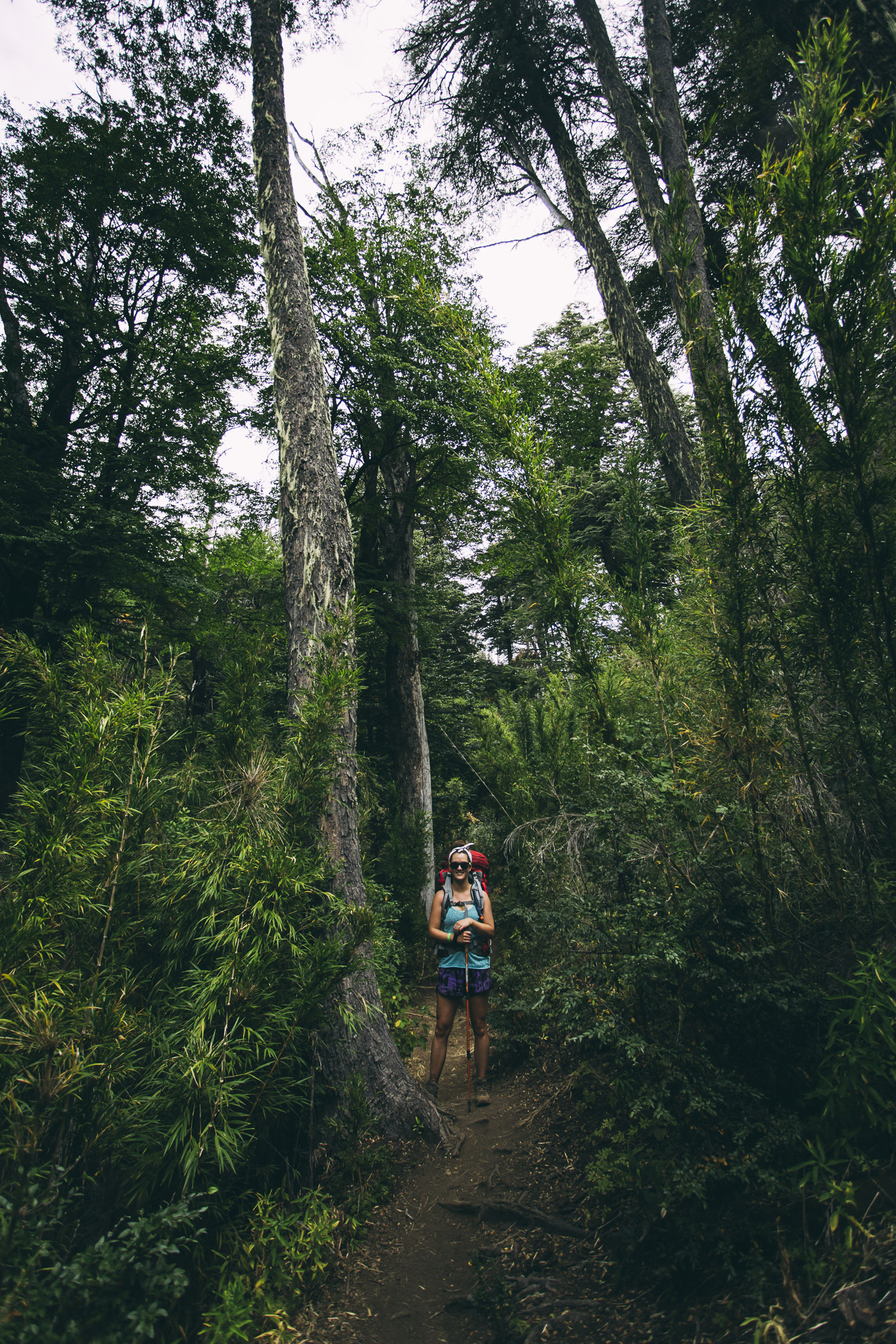
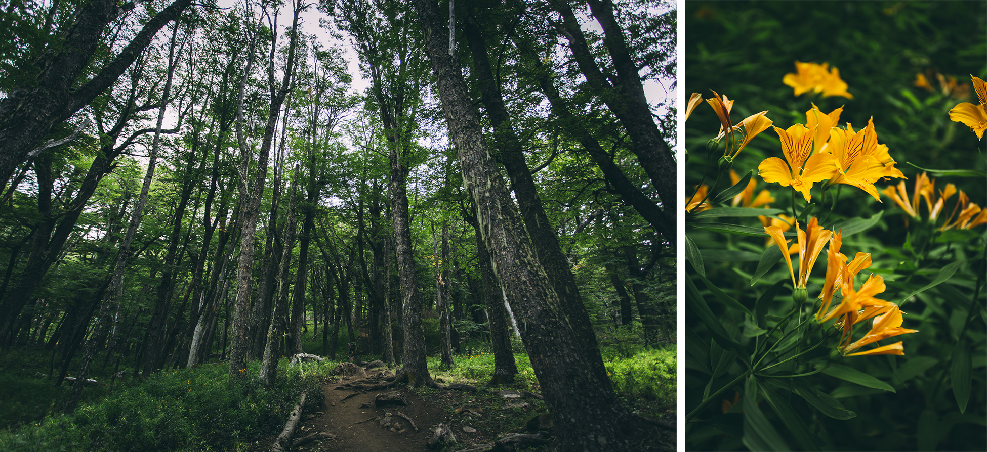
Argentinians love these wizard-like creatures called duendes which are often sold by local artisans in the form of small carvings, or in the case of our campsite, as large lawn decorations. Duendes are mythological fairy or goblin-like creatures believed to help people find their way home if they become lost in the forest. Crossing our fingers that the duendes would be on our side if we accidentally strayed from the trail, we headed off with heavy backpacks into the forest.
Day 1: Lago Gutierrez to Refugio Frey
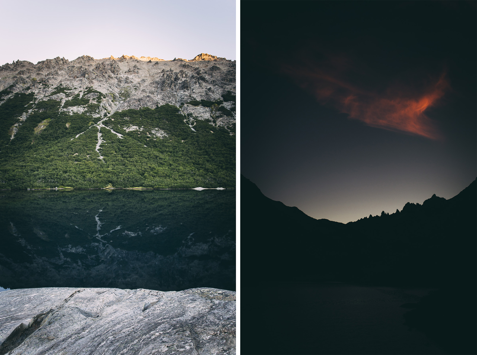
Here we go!
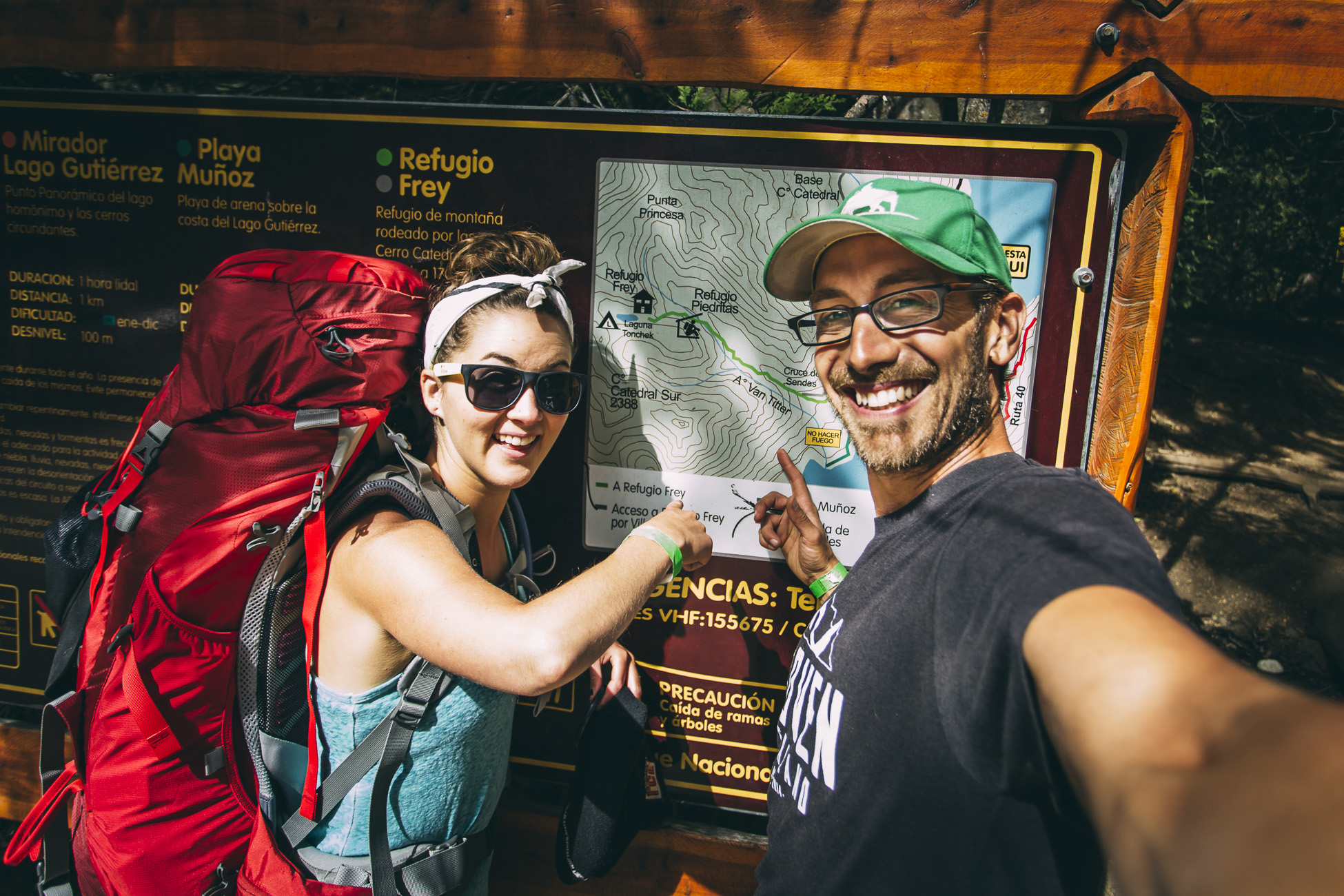
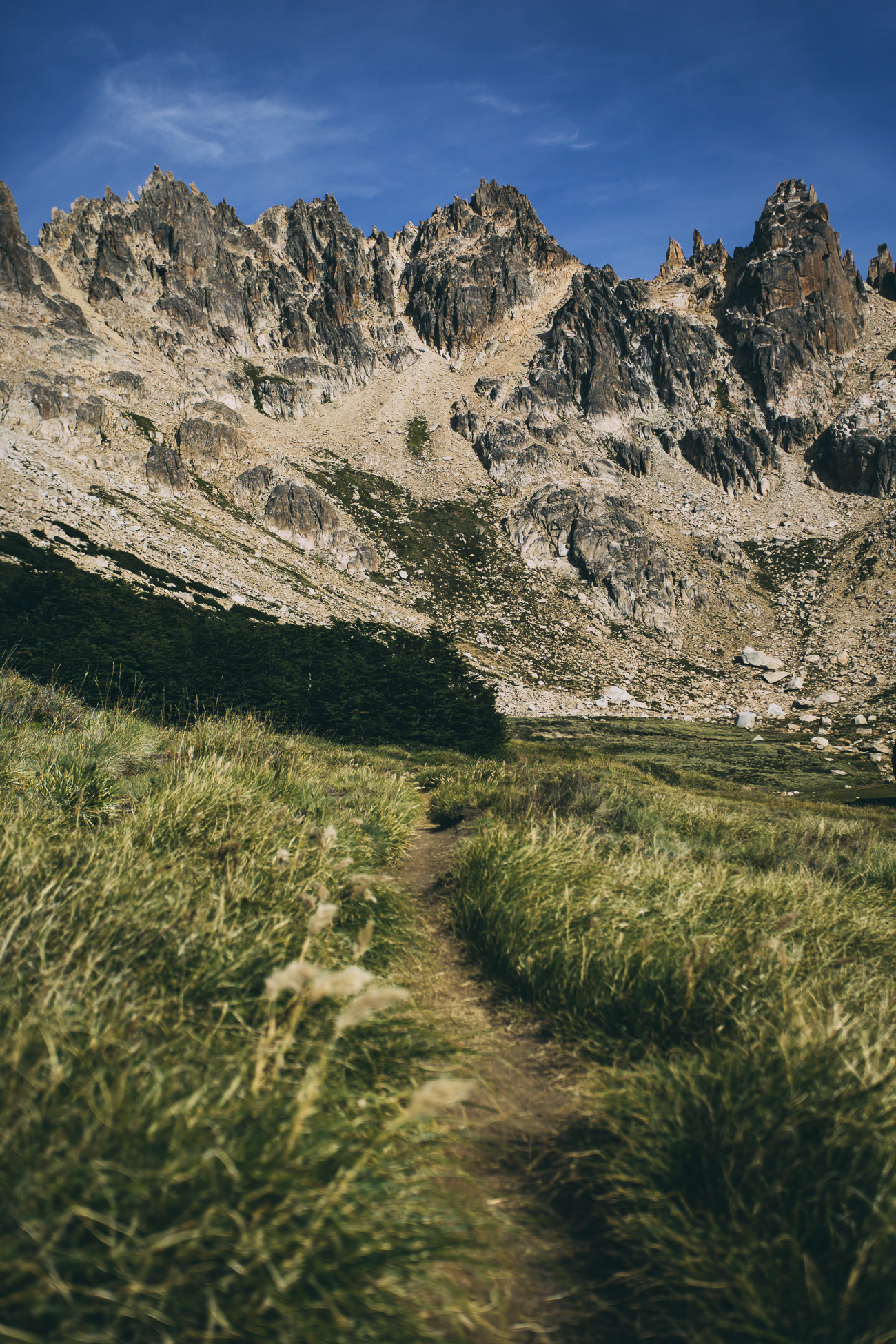
Nahuel Huapi is the oldest of Argentina’s national parks. The name is usually translated from the Mapuche (group of indigenous inhabitants of south-central Chile and south western Argentina) as ‘island of the tiger,’ referring to the spotted South American jaguar whose habitat once included northeastern Patagonia. There are no entry fees and camping is free in the park. For those who aren’t interested in carrying a tent and are willing to shell out some cash, there are four refugios (huts) along the trail.
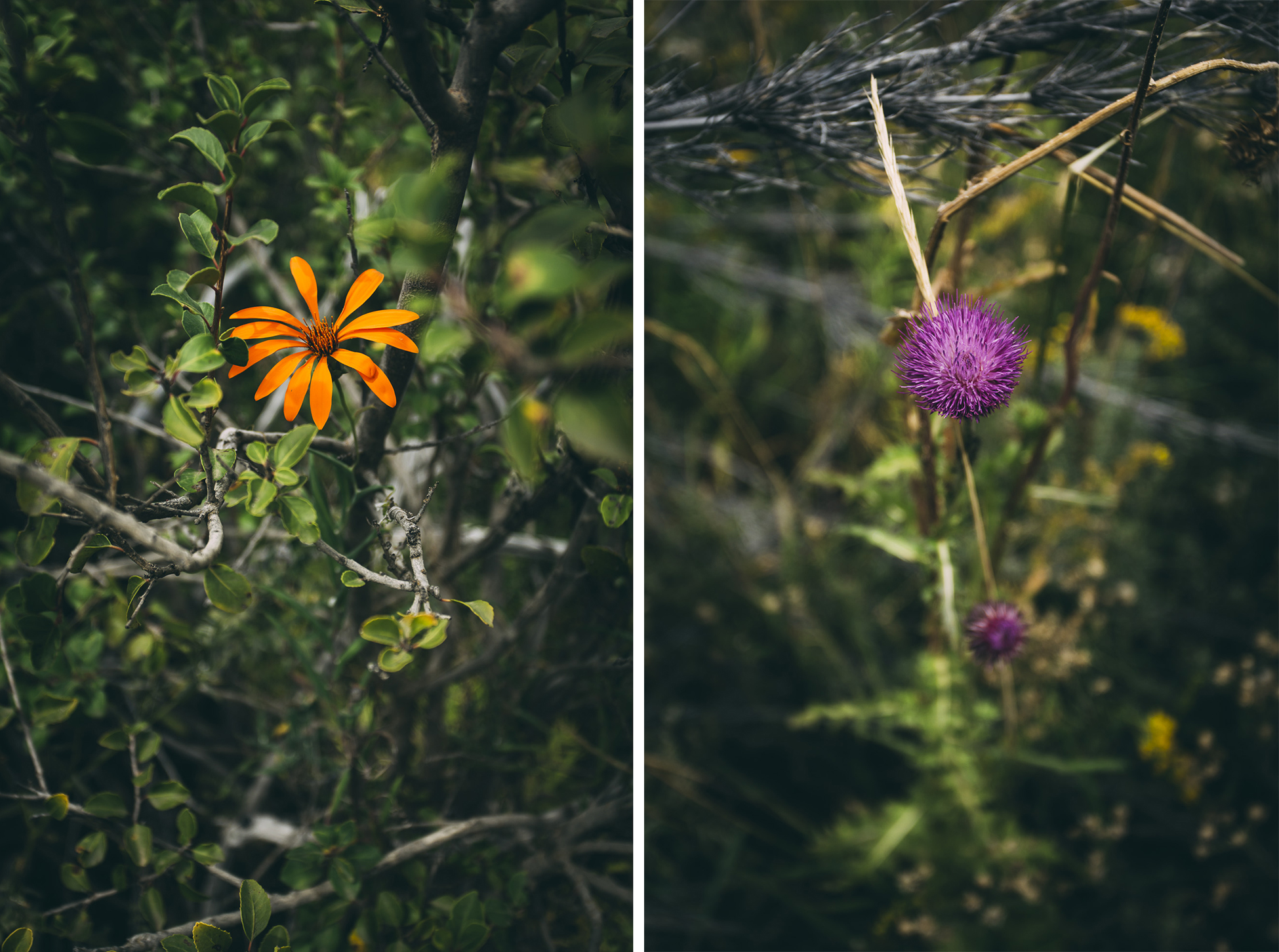
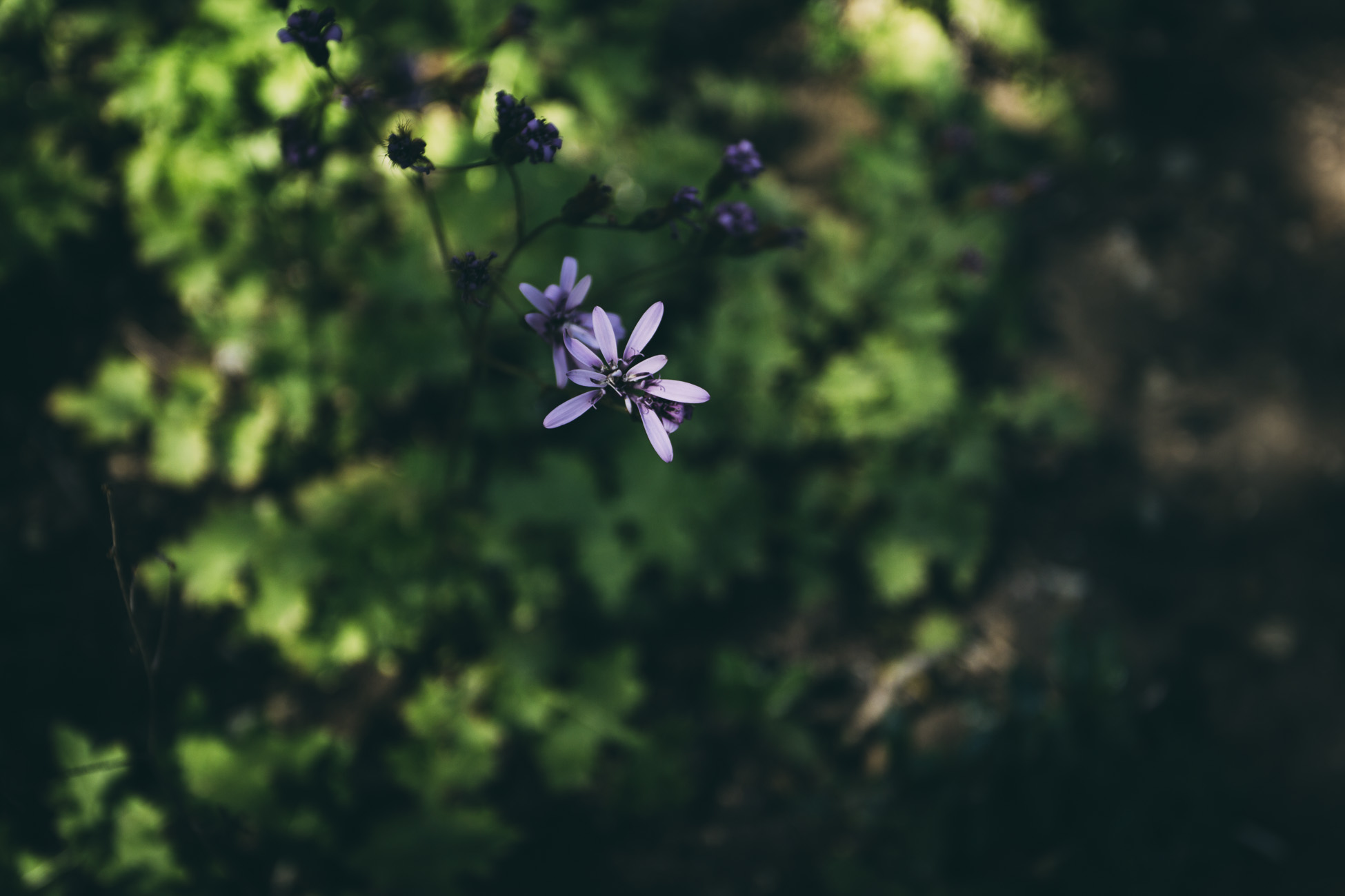
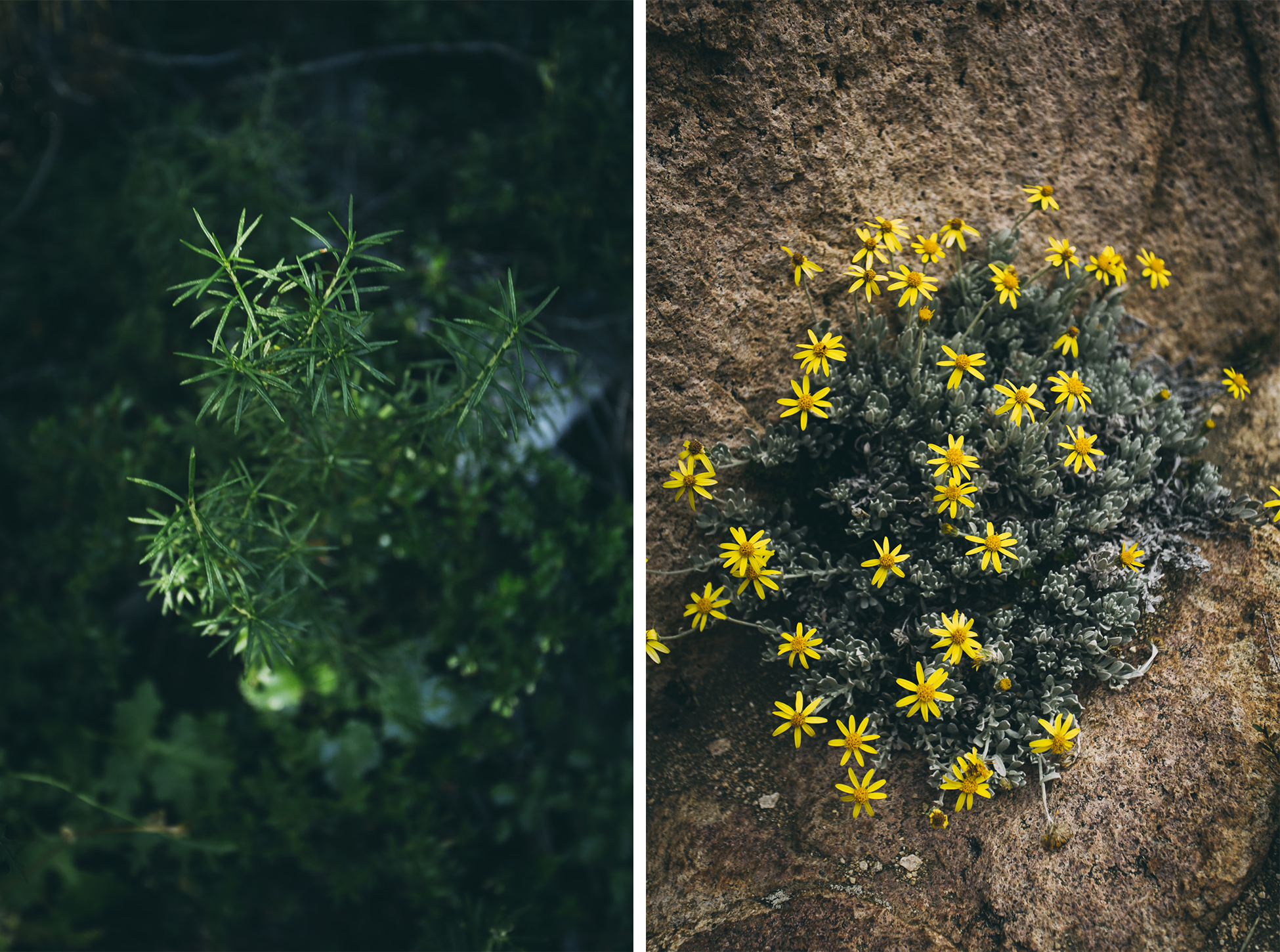
The late summer berries and wildflowers added some diversity to our hike. We were surprised to see bamboo growing in thick bundles, but later found out that this particular type (chusquea colihue) is frost-tolerant and native to the area.
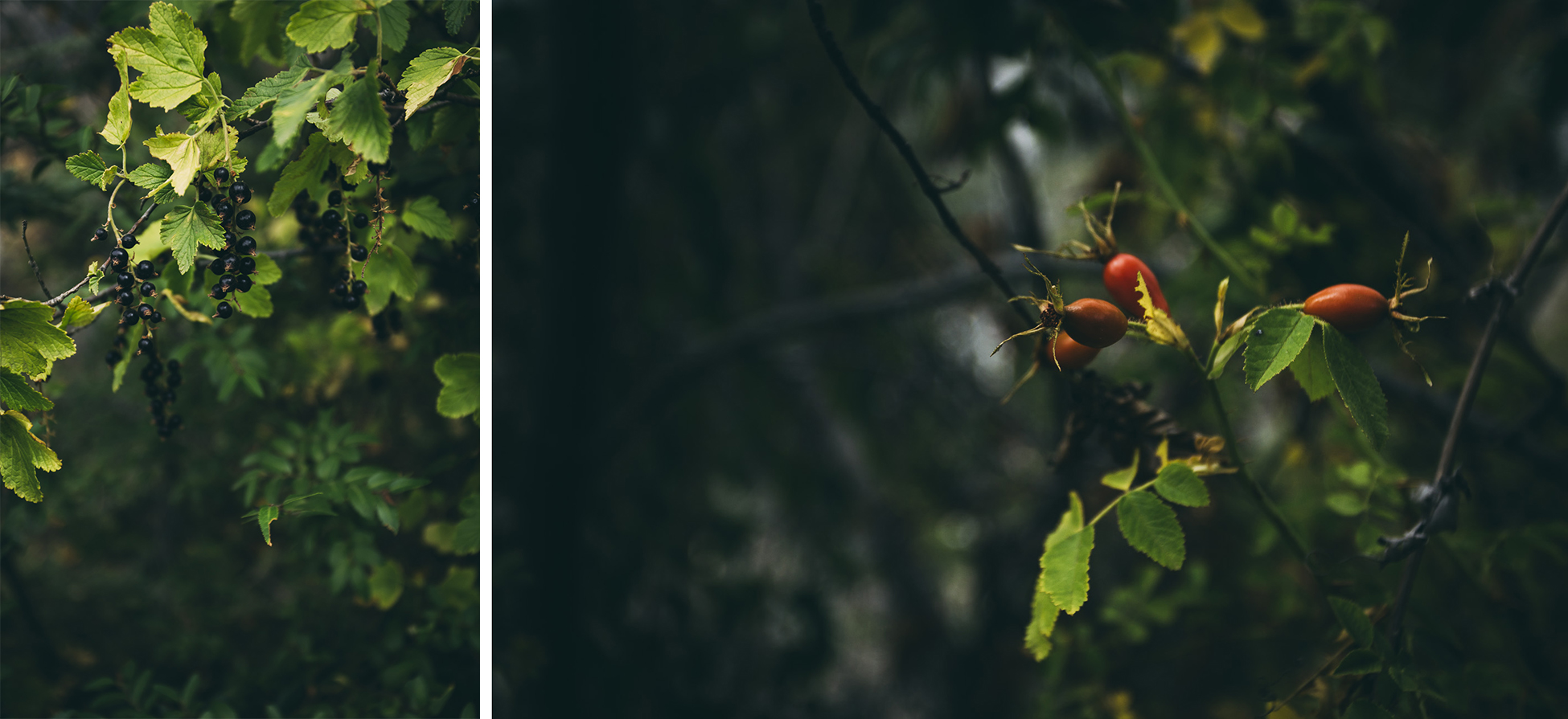
Wildflowers included clavel del campo or ‘carnations of the countryside’ and lovely purple thistles.
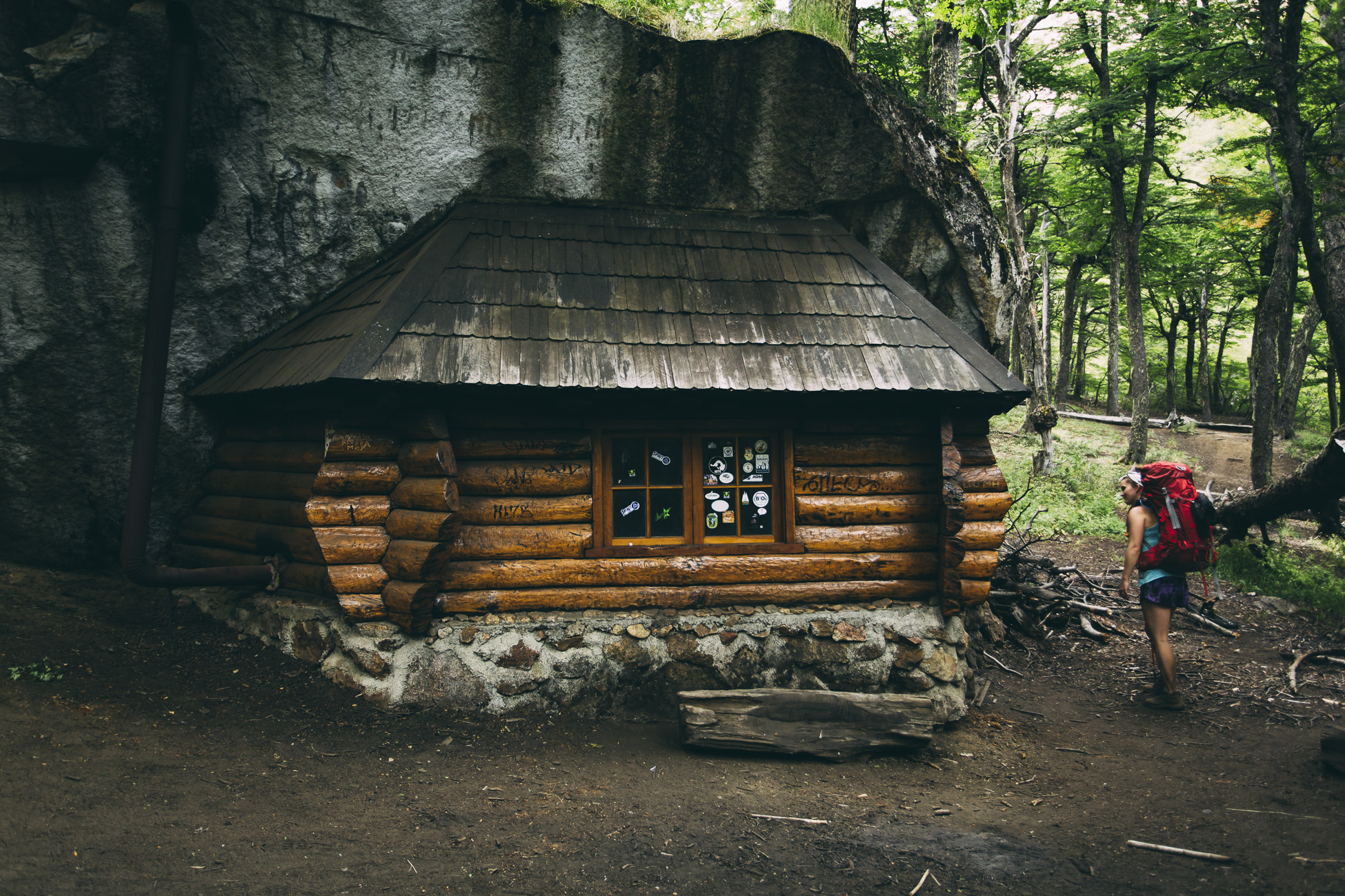
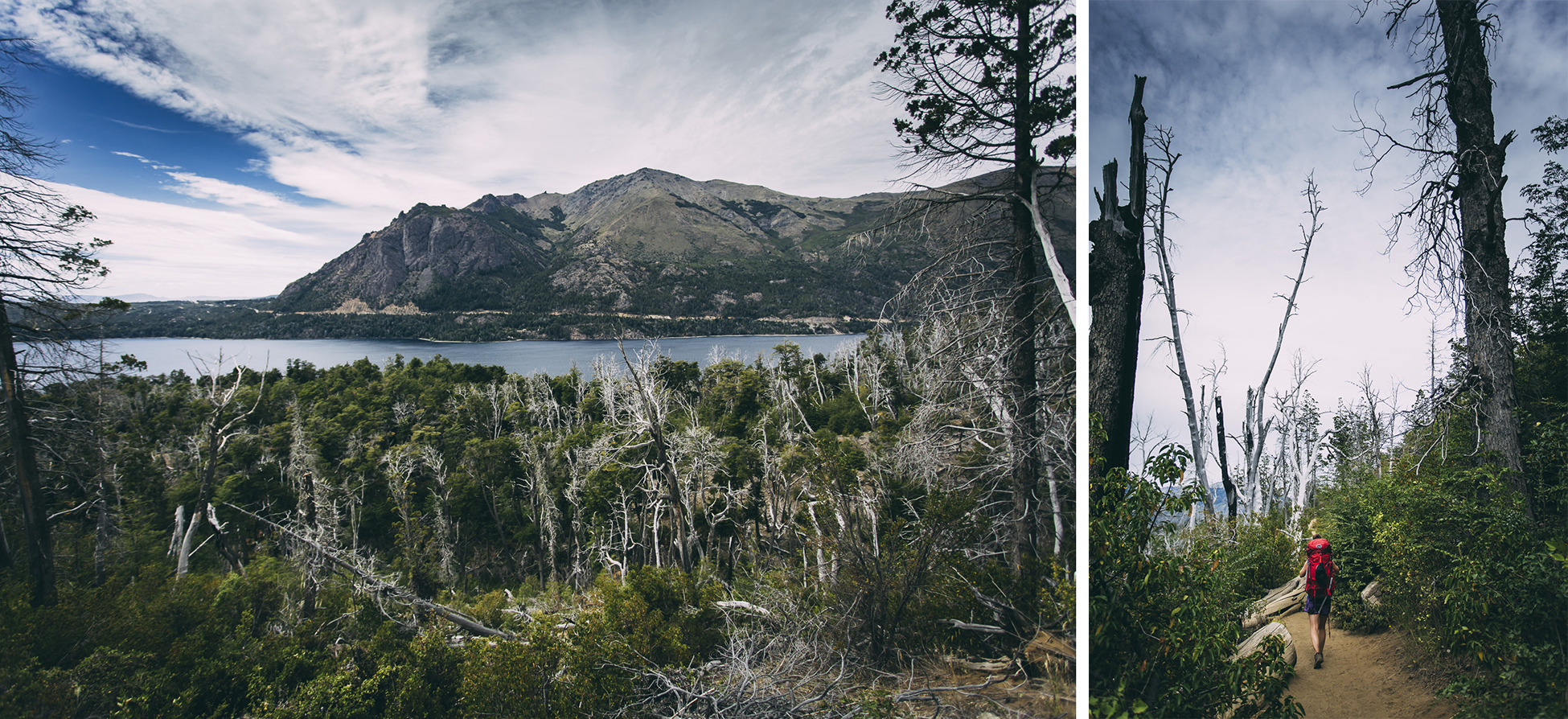
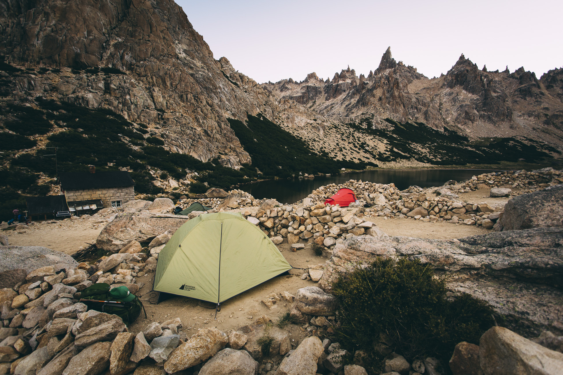
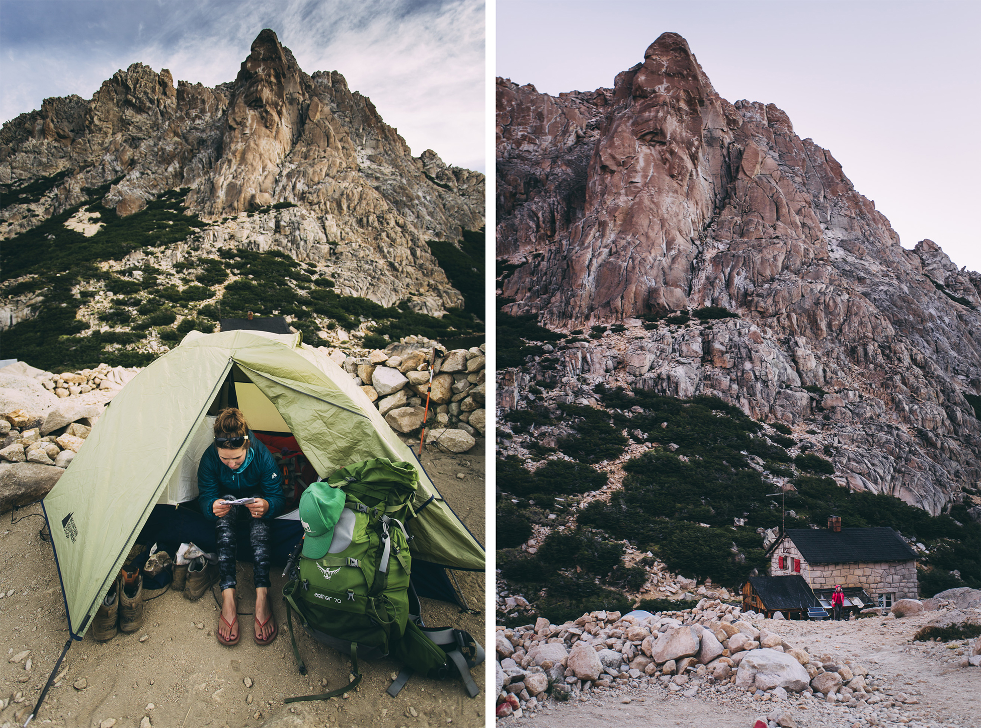
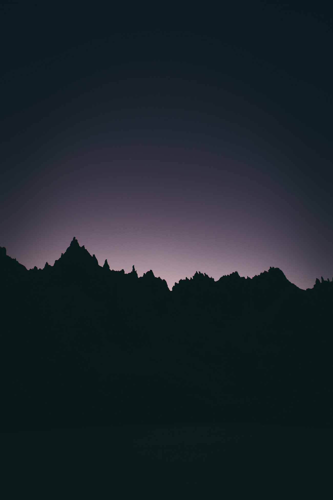
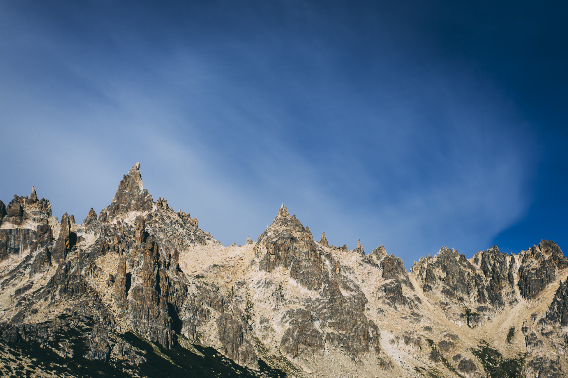
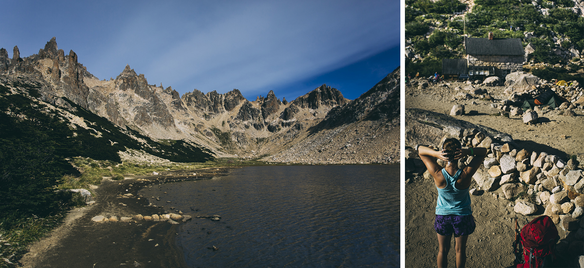
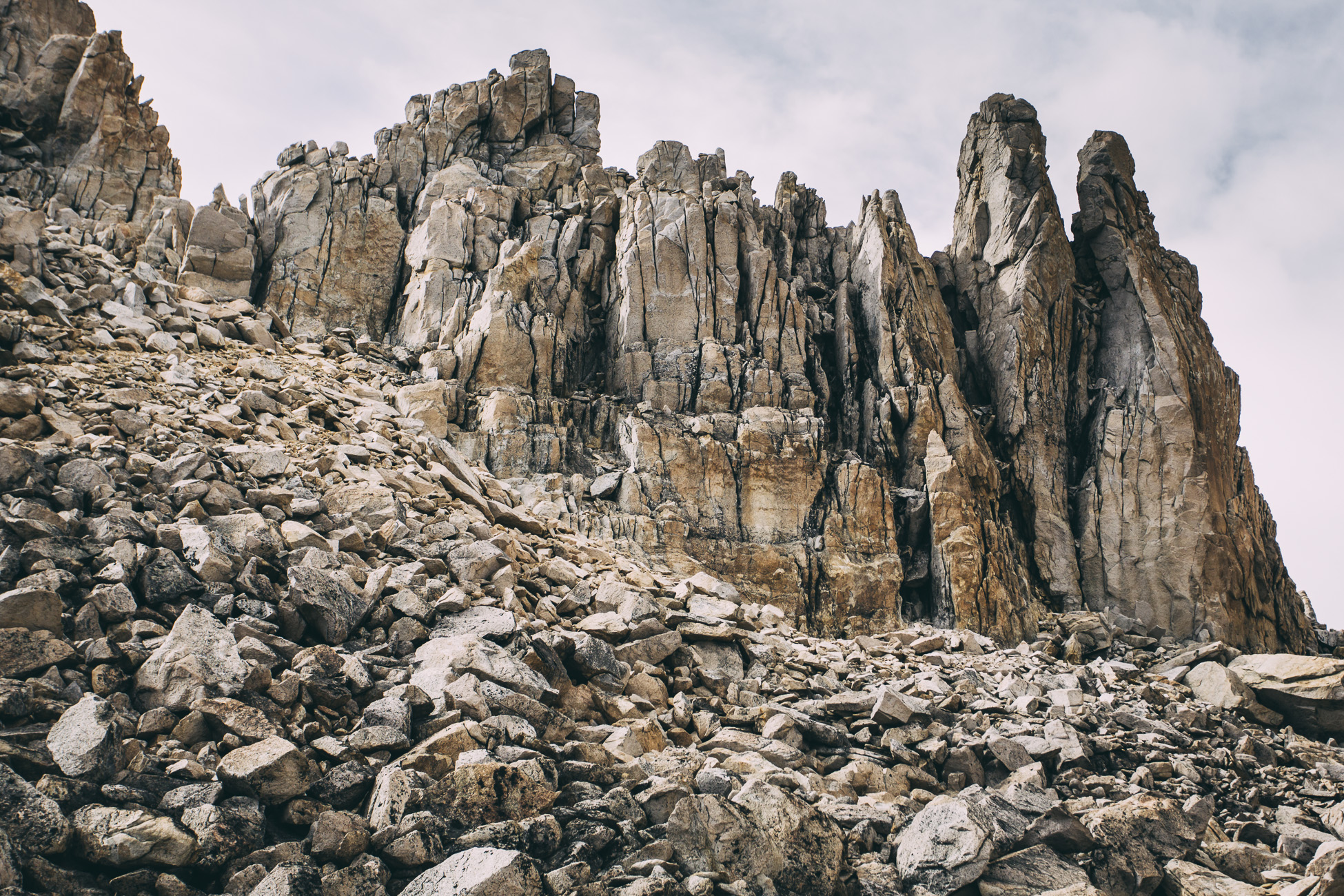
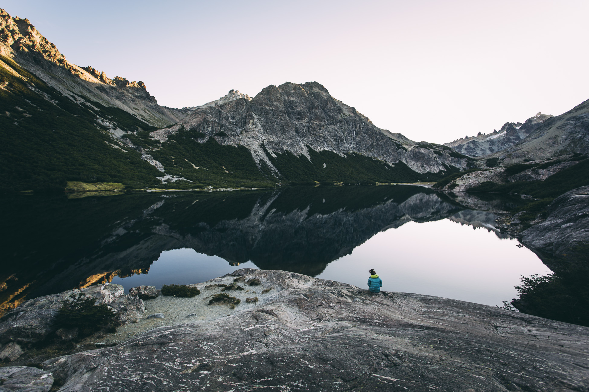
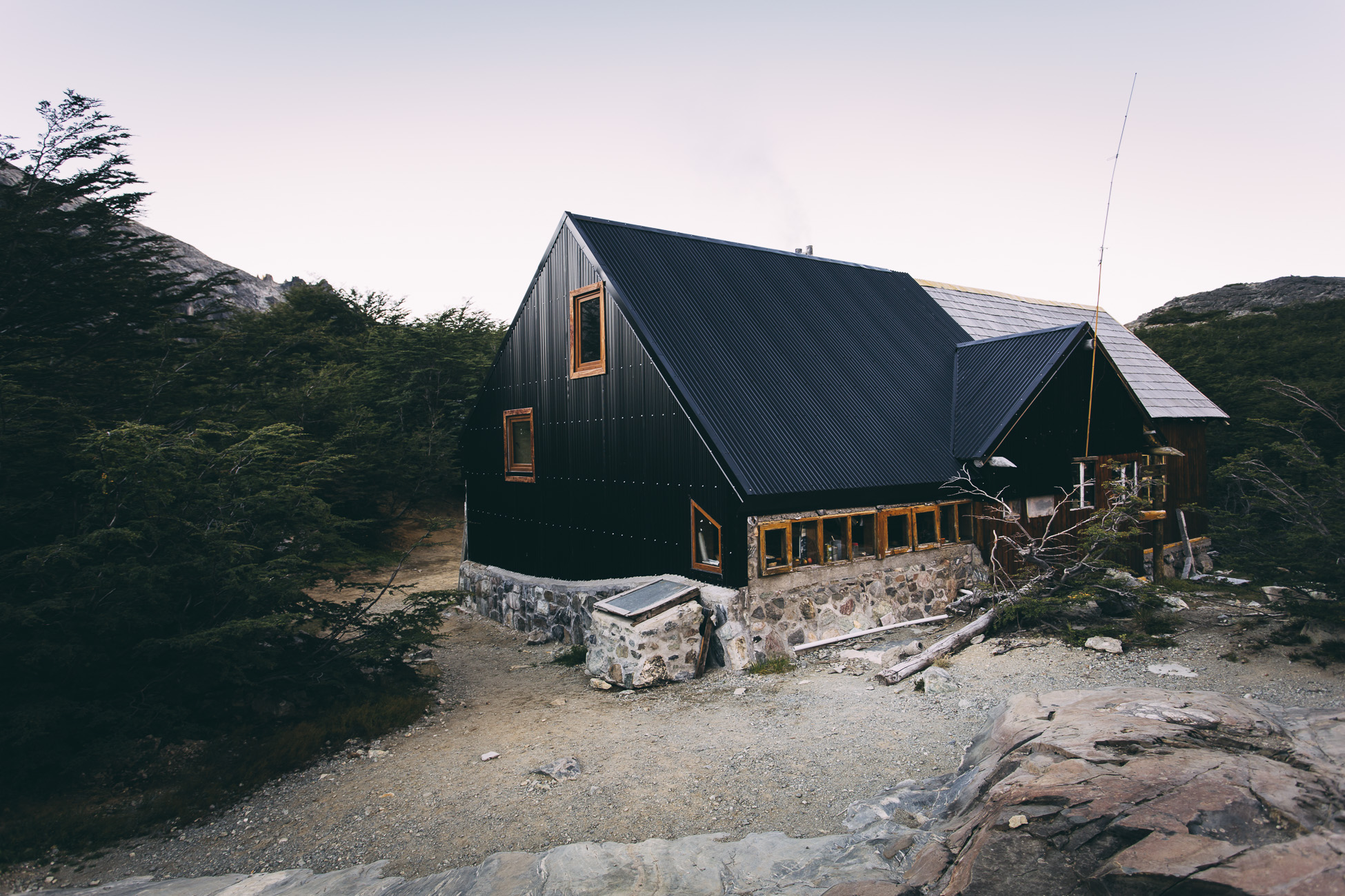
Refugio Frey is located on the eastern shore of Laguna Tonchek, facing the craggy granite spires of Cerro Catedral (Cathedral Mountain). The two-storey stone hut has sleeping space for 40 people.
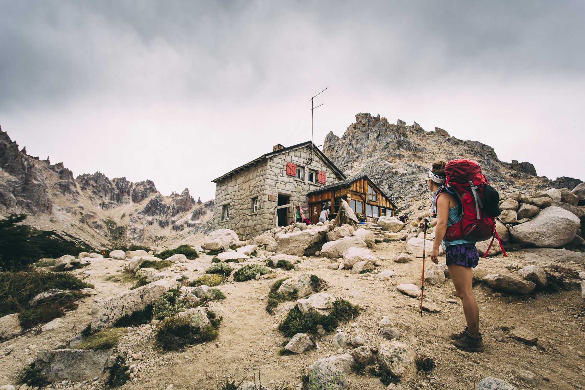
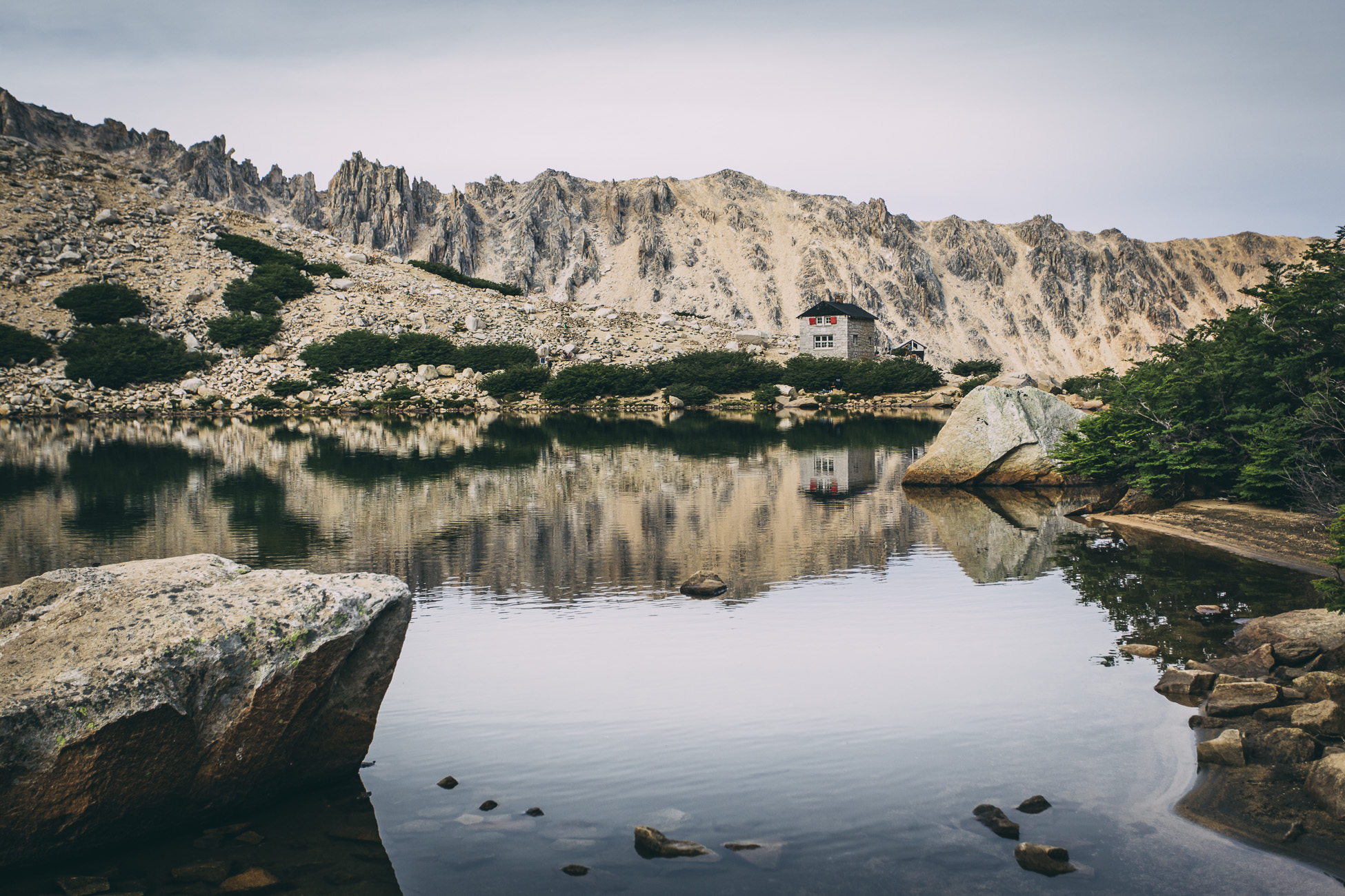
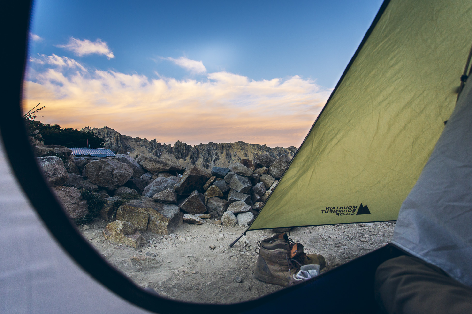
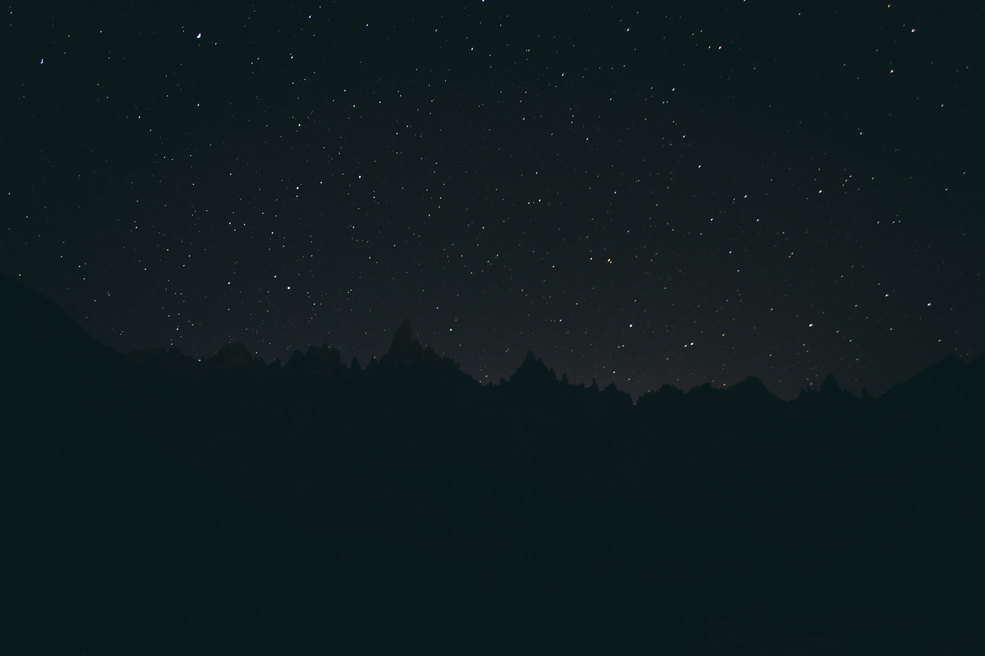
Peak season brings climbers from all over the world looking to scale Cerro Catedral’s igneous needles, including lines with names like The Fool, The Lunar Rocket, The Old Woman, The Grandfather, The Splinter, The Three Marias, and The Monk. Many climbers set up camp at Frey and stay for weeks exploring the cracks and steep pitches, only hiking out to replenish their food stock. During the winter months backcountry skiing is a popular activity, which draws tourists in from all over the world (notably Brazilians, Europeans and Israelis). I imagine that Frey would make an enchanting backcountry ski destination– the hut warmed by a wood-burning oven, ski tracks in the snow, and clear starry skies overhead.
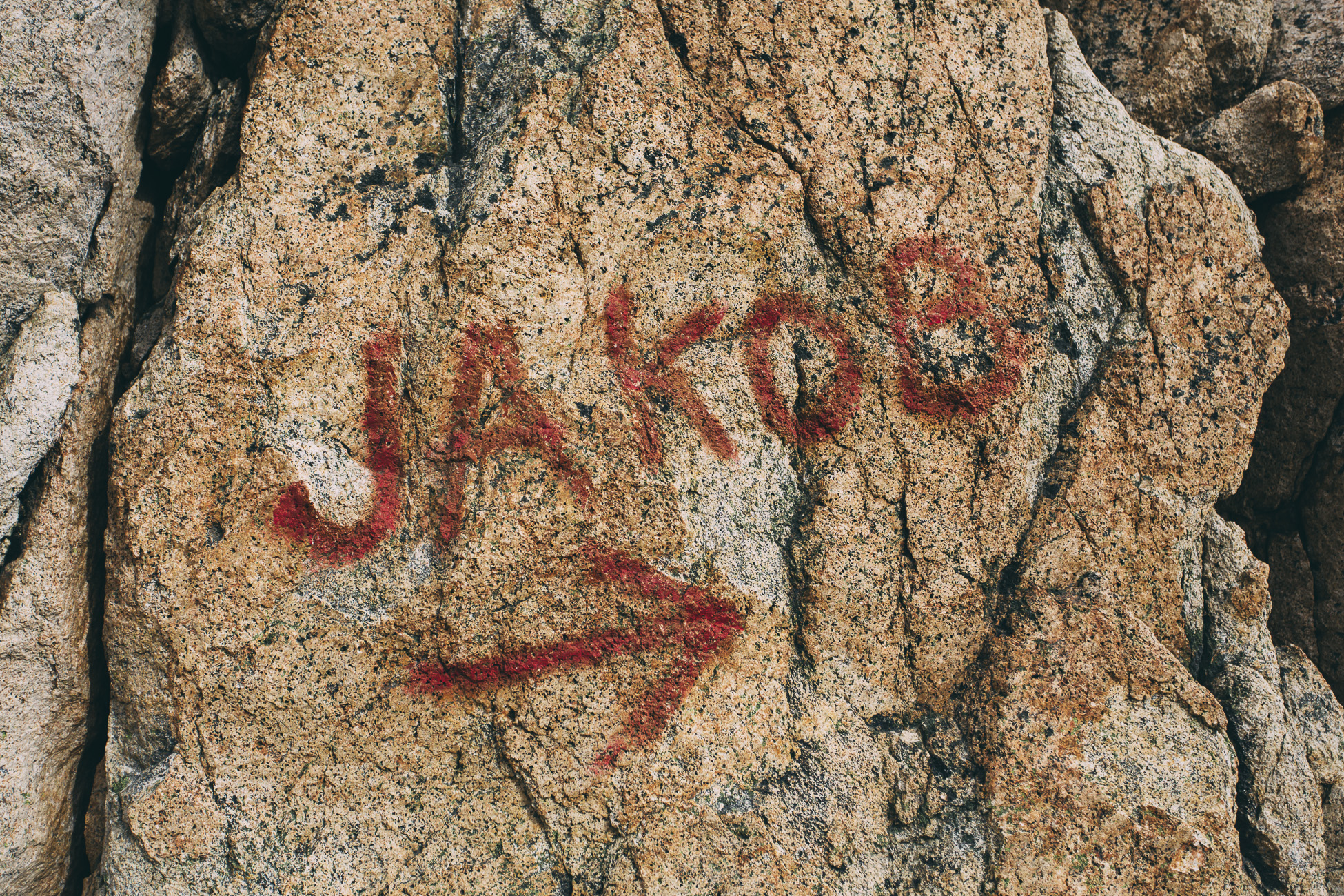
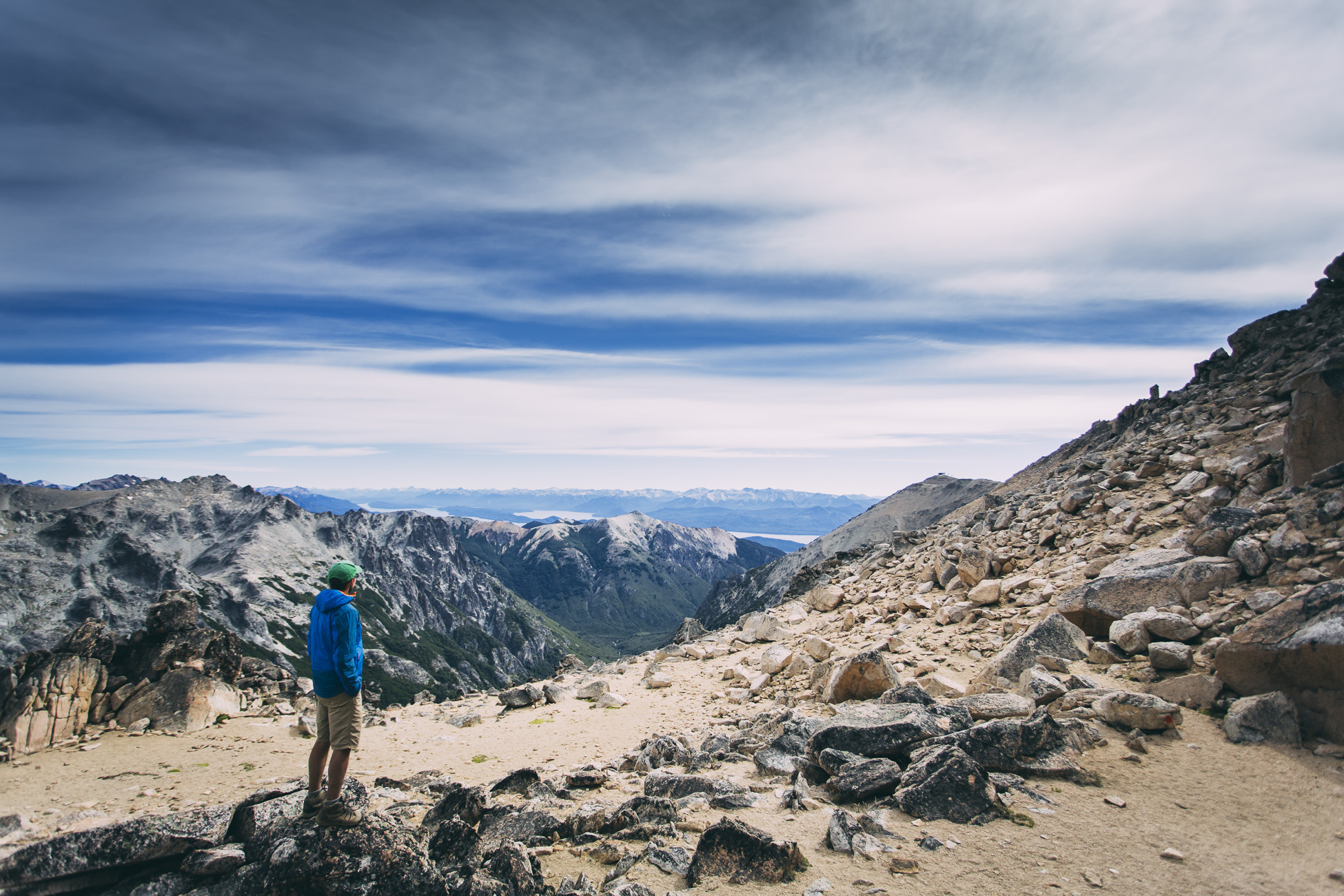
Day 2: Refugio Frey to Jakob
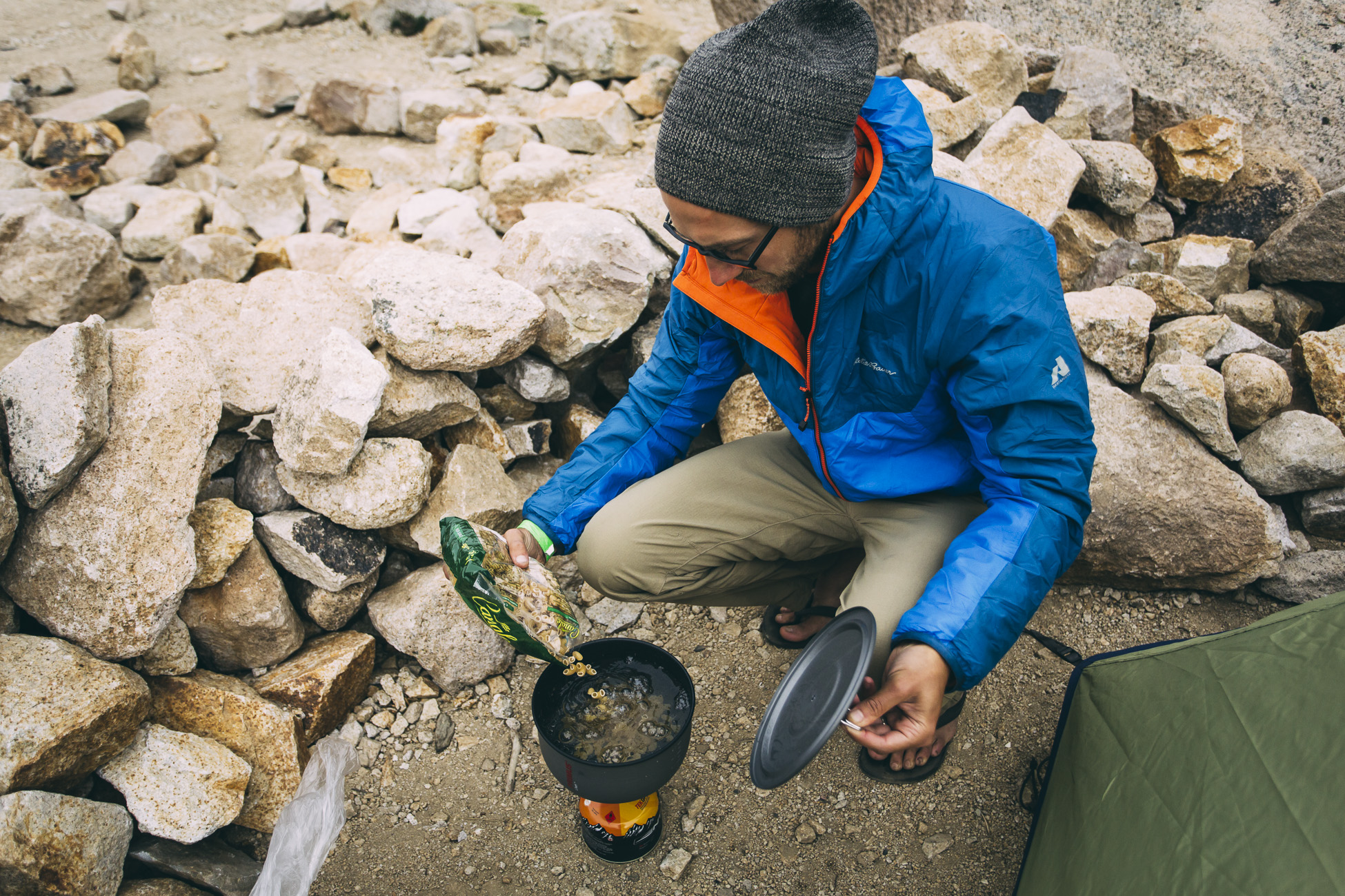
We woke up to cloudless blue skies and fuelled up on a breakfast of oatmeal with sliced apples and dried fruit.
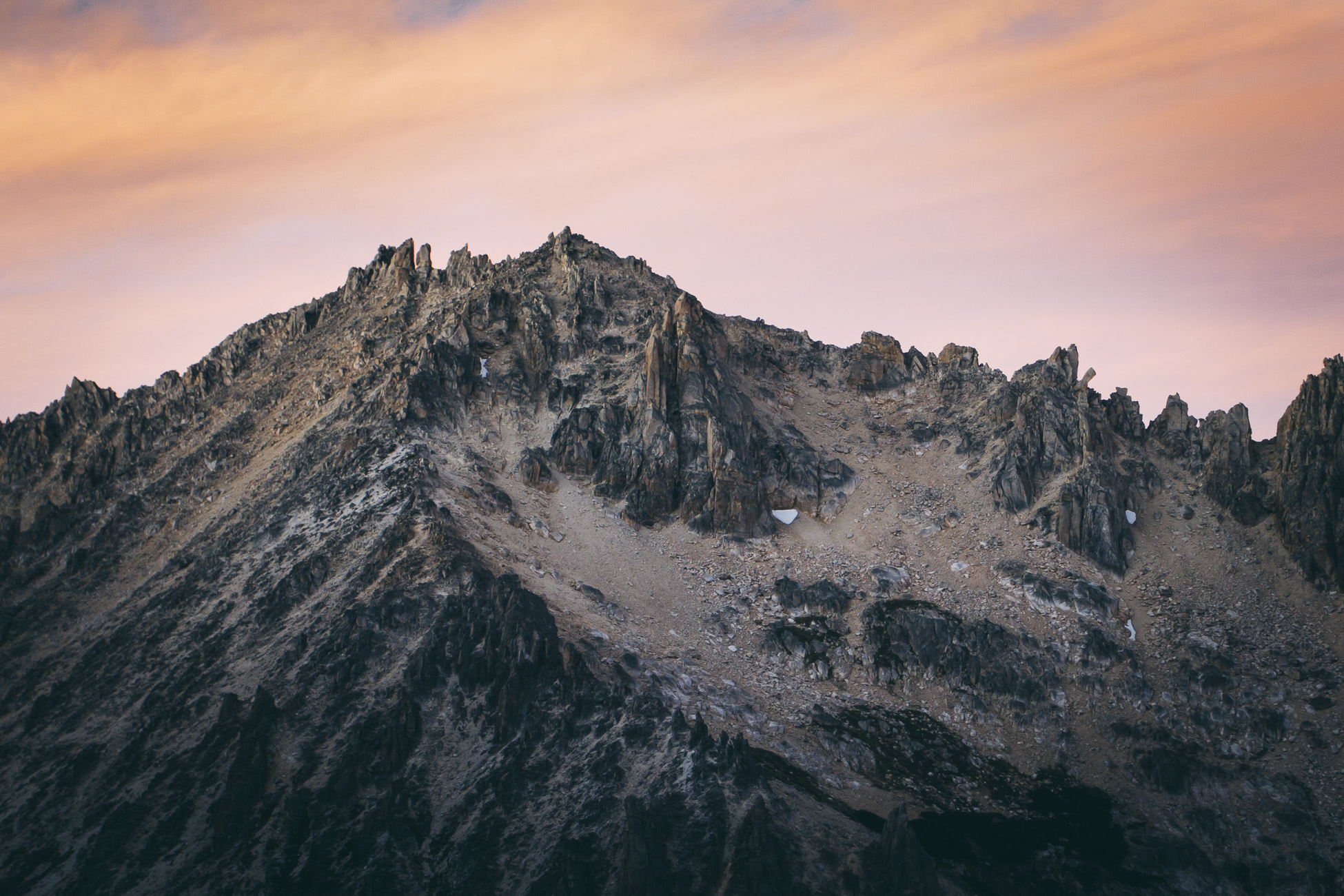
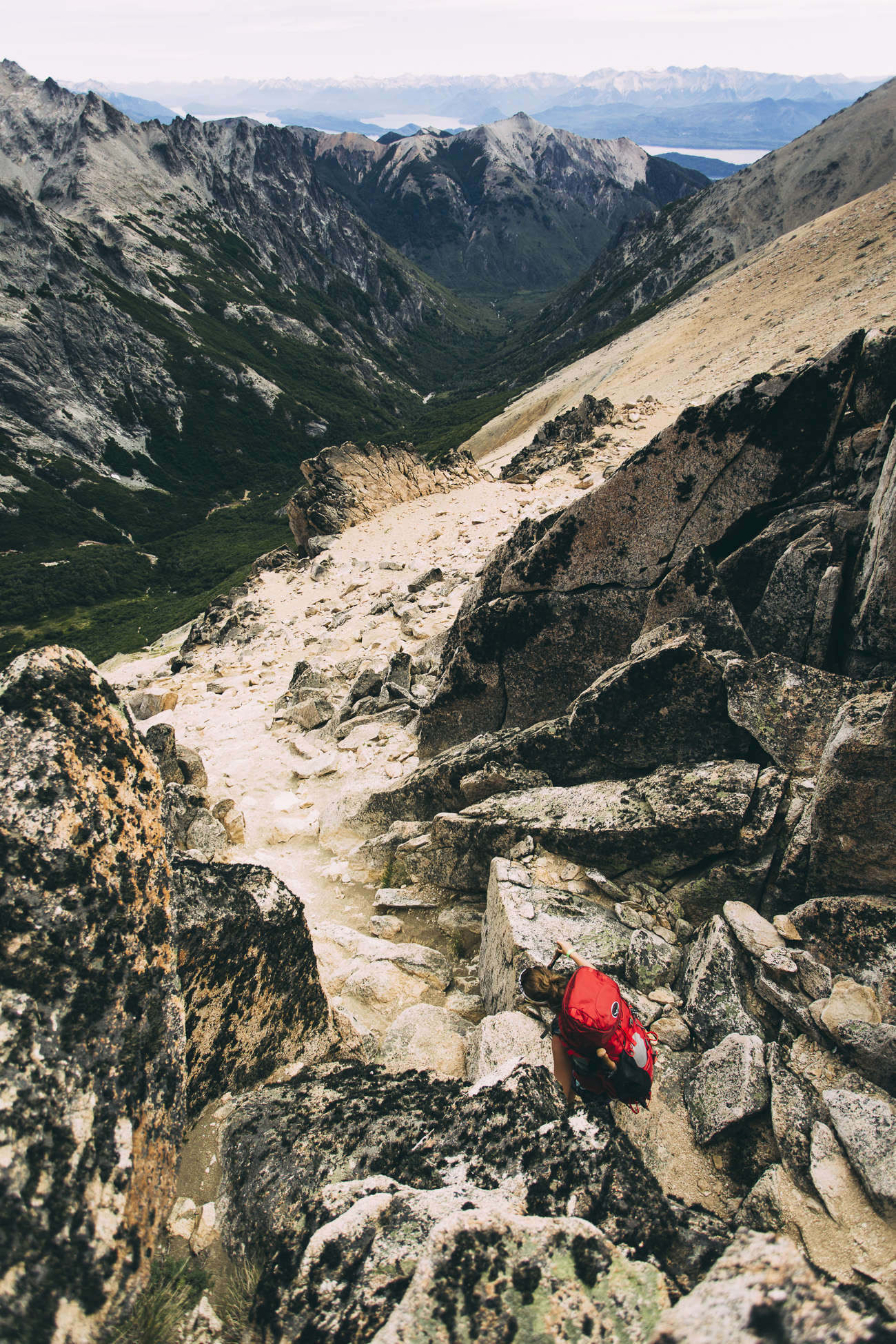
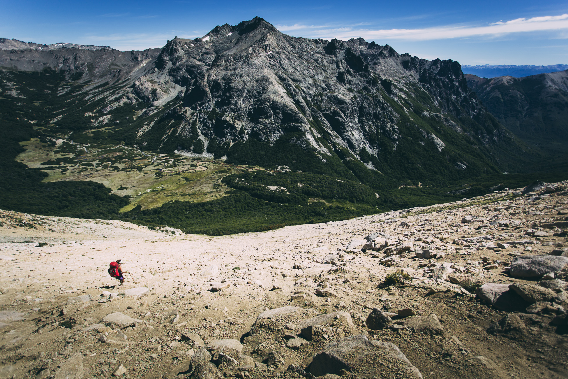
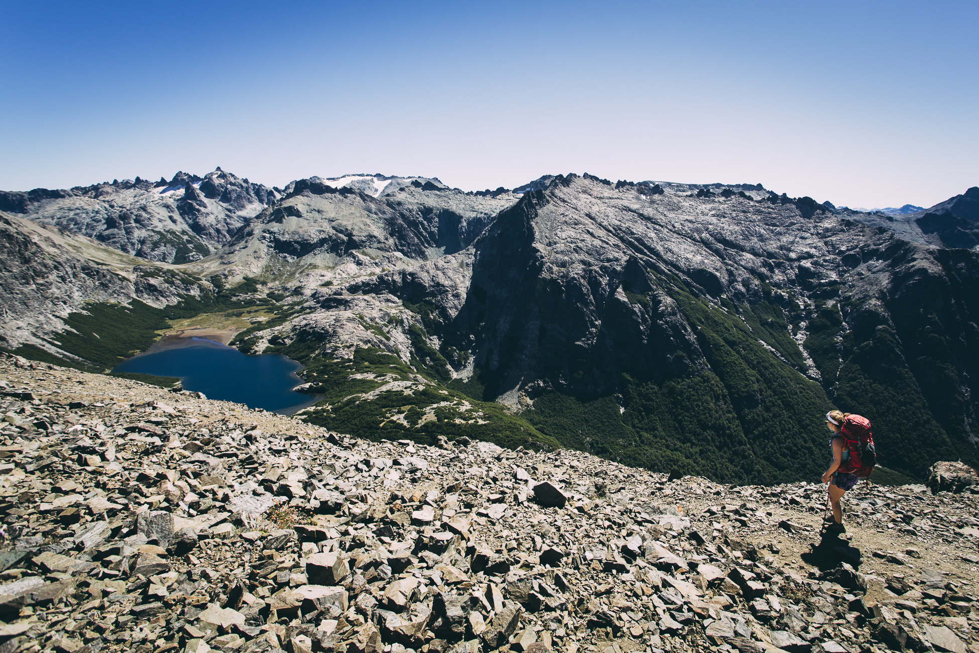
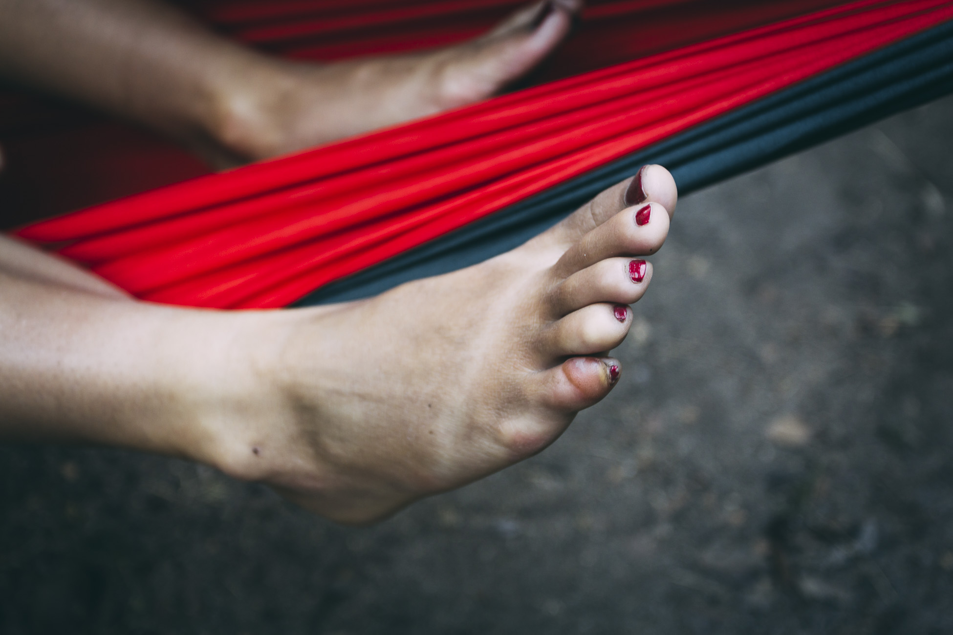
What started out as a beautiful, sunny and perfect day turned into the most difficult day of hiking that I have ever experienced. We completed two extremely taxing passes in one day, and an error in sock choice (cotton the day before – duh, what was I thinking?) resulted in a huge painful blister on my pinky toe.
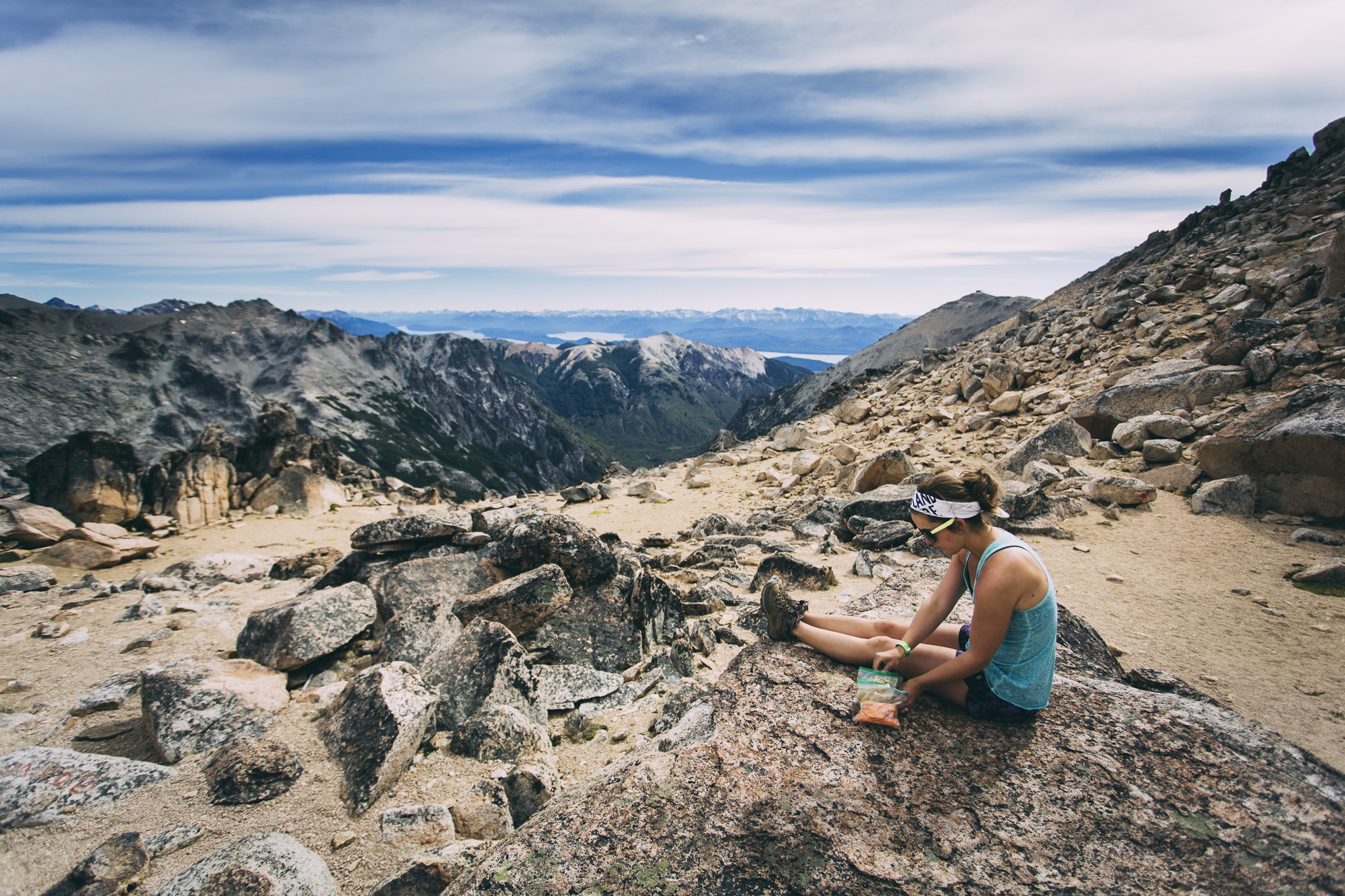
During the first pass Richard literally had to hold onto my backpack while I pulled myself around a large boulder with a minimal footpath so that I didn’t tumble to my death below. Scrambling up large, steep rocks while you have a 65 litre backpack on isn’t a walk in the park. It was a relief to arrive at the top (called Cancha de Futbol), where we had some snacks and took in the view.
We met an Austrian man who was quick as lightning and ascended and descended like a mountain goat. He gave us some good advice regarding hiking poles on the way down as I am notoriously slow during descent: “Yuze zee sticks! Yuze zee sticks!”
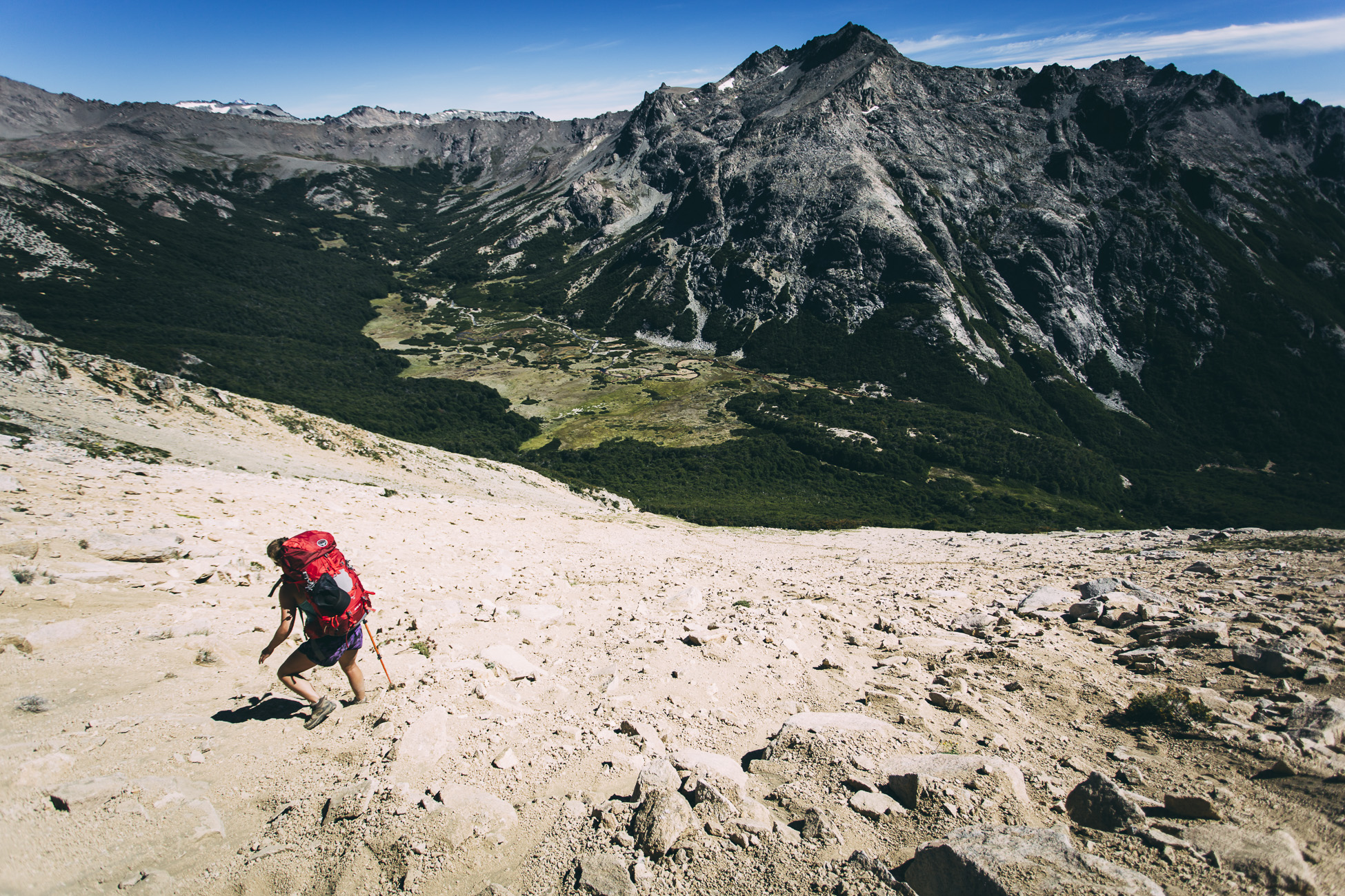
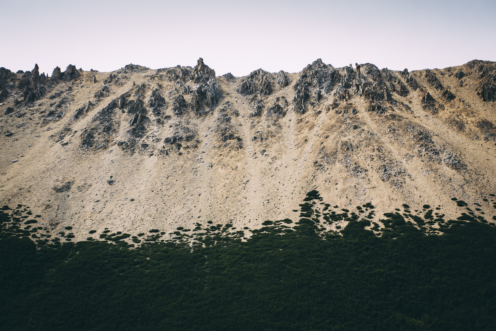
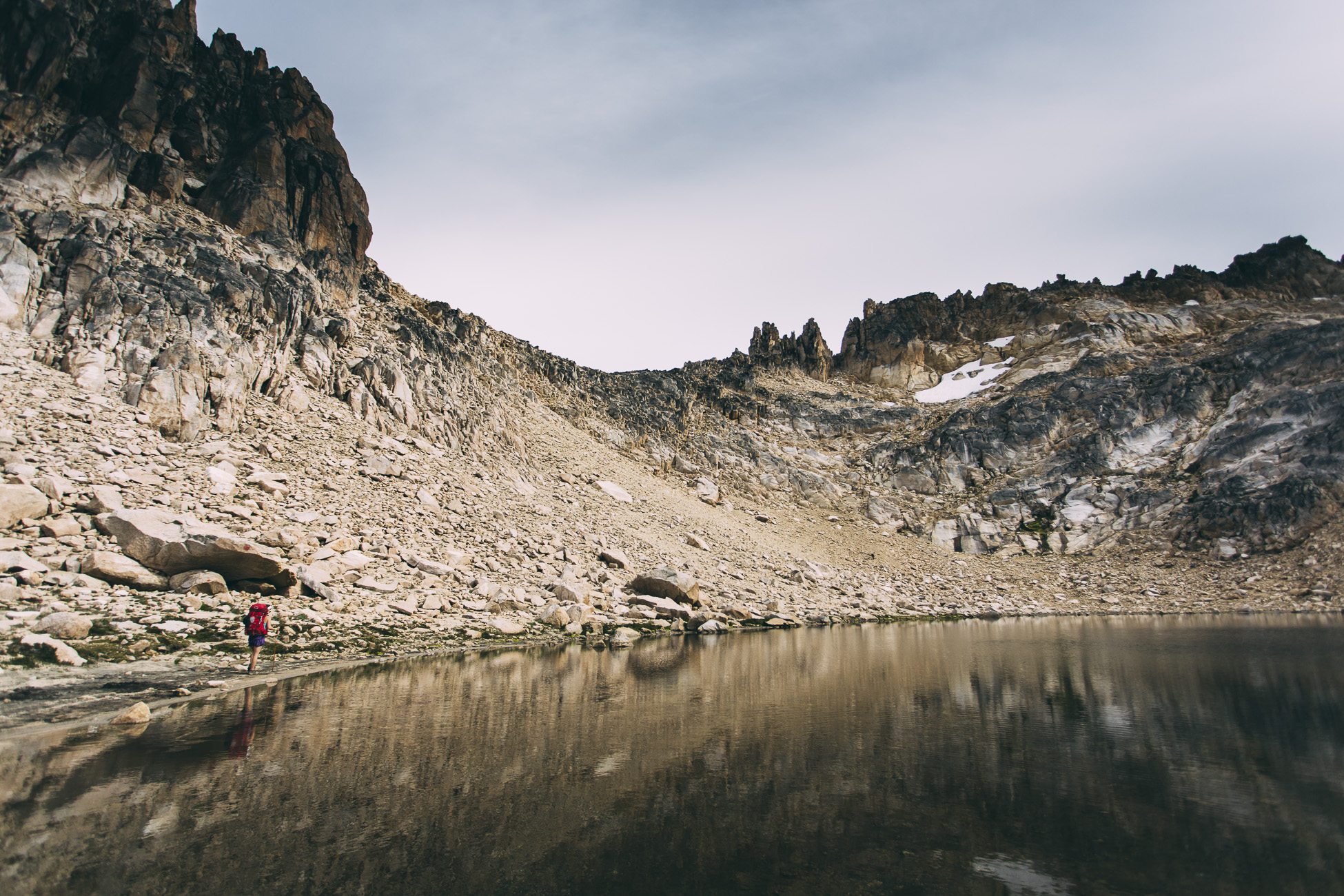
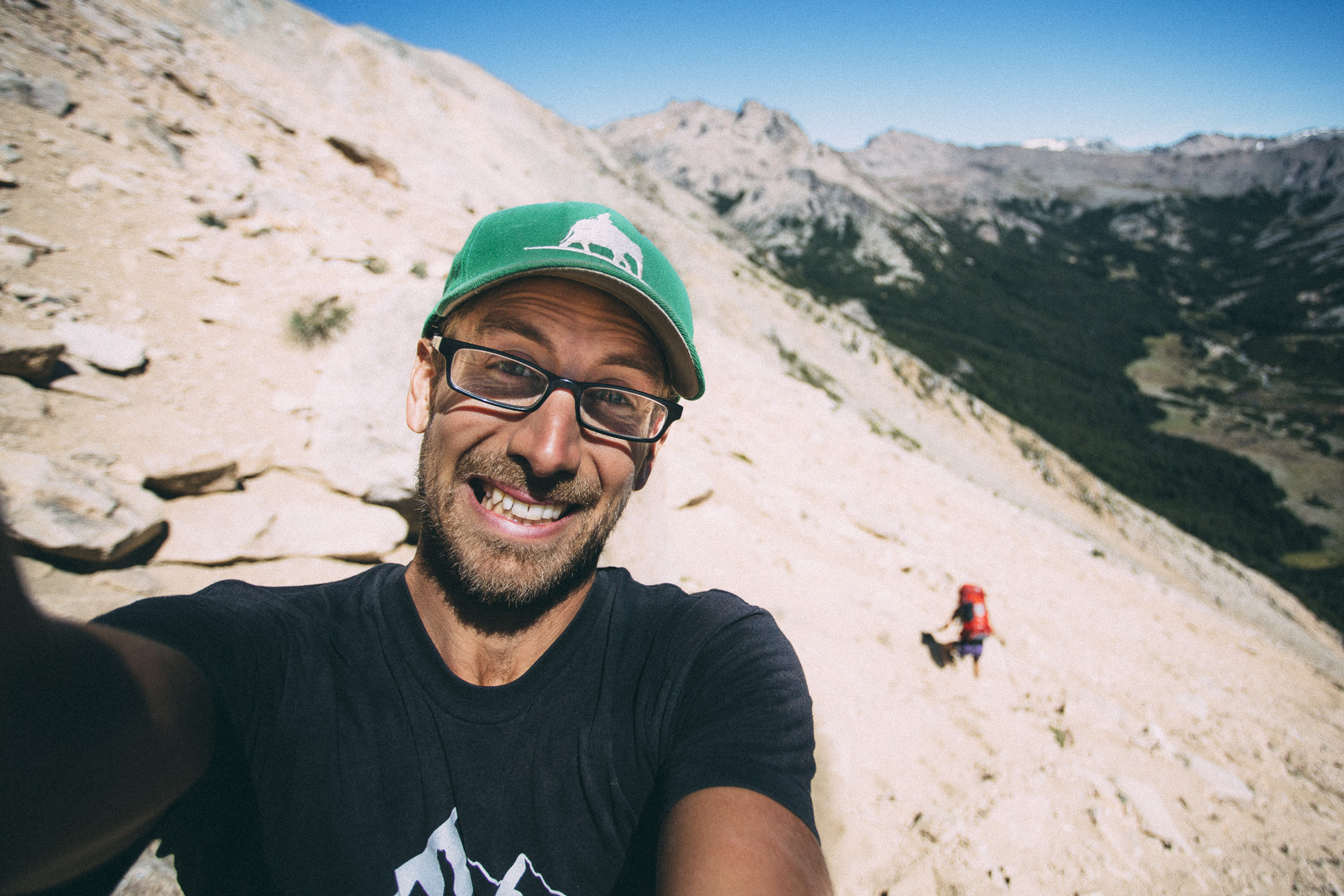
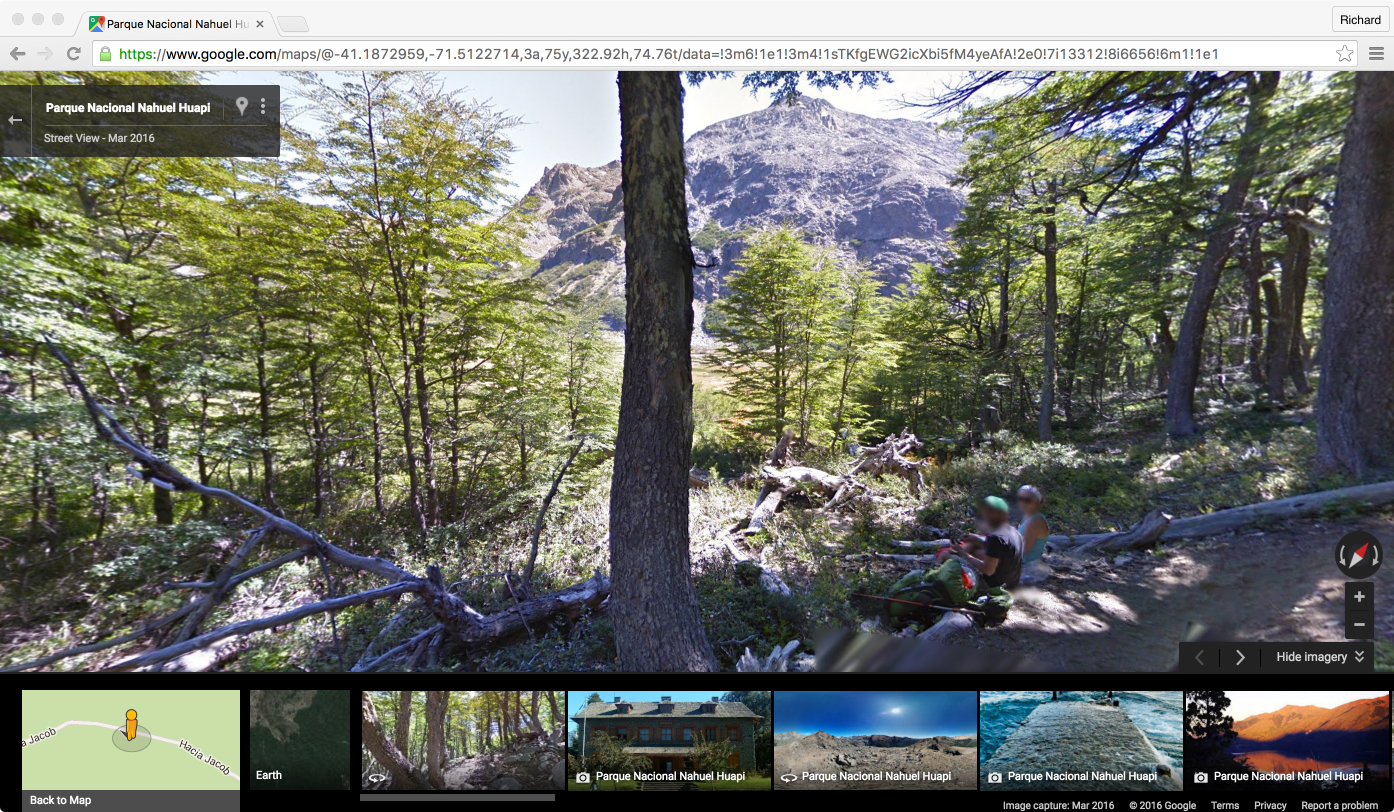
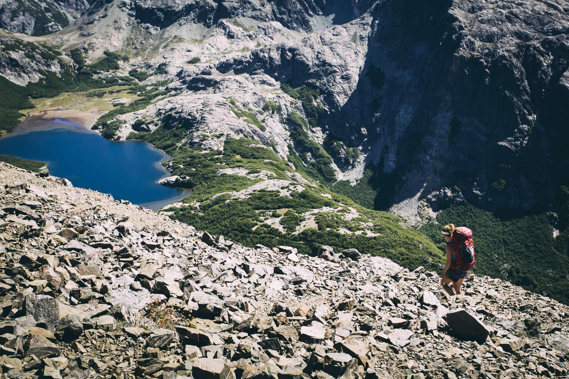
The descent after the first pass was a mess of scree with no real visible trail to follow. By the time we reached the bottom I had dumped gravel out of my boots several times as it was so soft that we sunk ankle-deep into the stuff. Two men cascaded through the rocks effortlessly and arrived at the bottom like the whole experience was no big deal. We chatted a bit with them and we found out one of them was a park ranger and the other was hiking with a Google Maps camera strapped to his body to capture the entire trail on film.
When we reached the base we were rewarded with a relatively flat footpath and a collection of dainty wildflowers.
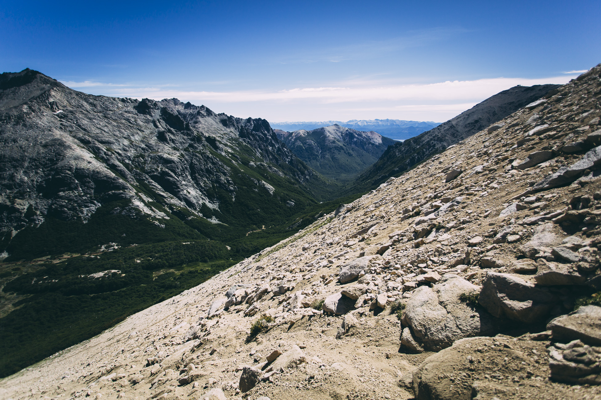
Proof that we were not joking about the Google Maps camera… and check out that view we had during lunch!
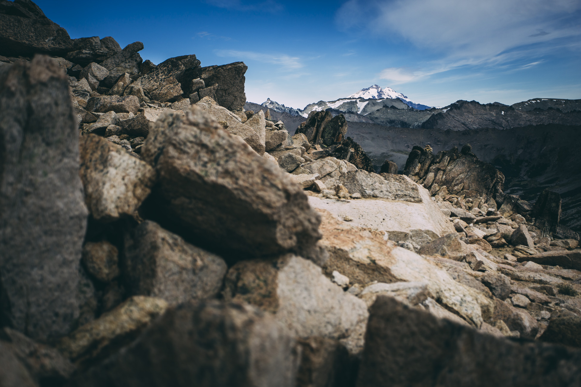
Up and up once more we reached the final pass of the day (Paso Brecha Negra). Apparently I didn’t read the trail description well enough as we both looked at each other and were like, “Seriously?! Another pass?! What is happening? I don’t want to! Can’t we turn around?”
Nope.
No pictures were taken during this descent as the rocks were extremely loose and hazardous and Richard thought it prudent to keep his hands on “zee sticks”. It took about an hour of painstaking careful placement of our feet to make it to the bottom. By that time my legs were shaking, knee bones were grinding and aching, right pinky toe in dire need of flip flops, and skin filled with cuts and scrapes. About 25 minutes before we reached flat ground the whole thing was so overwhelming and I was so angry with the rocks I just zoned out and disassociated with the situation. Hot, furious tears filled my eyes but we pushed on because… there ain’t no turning back.
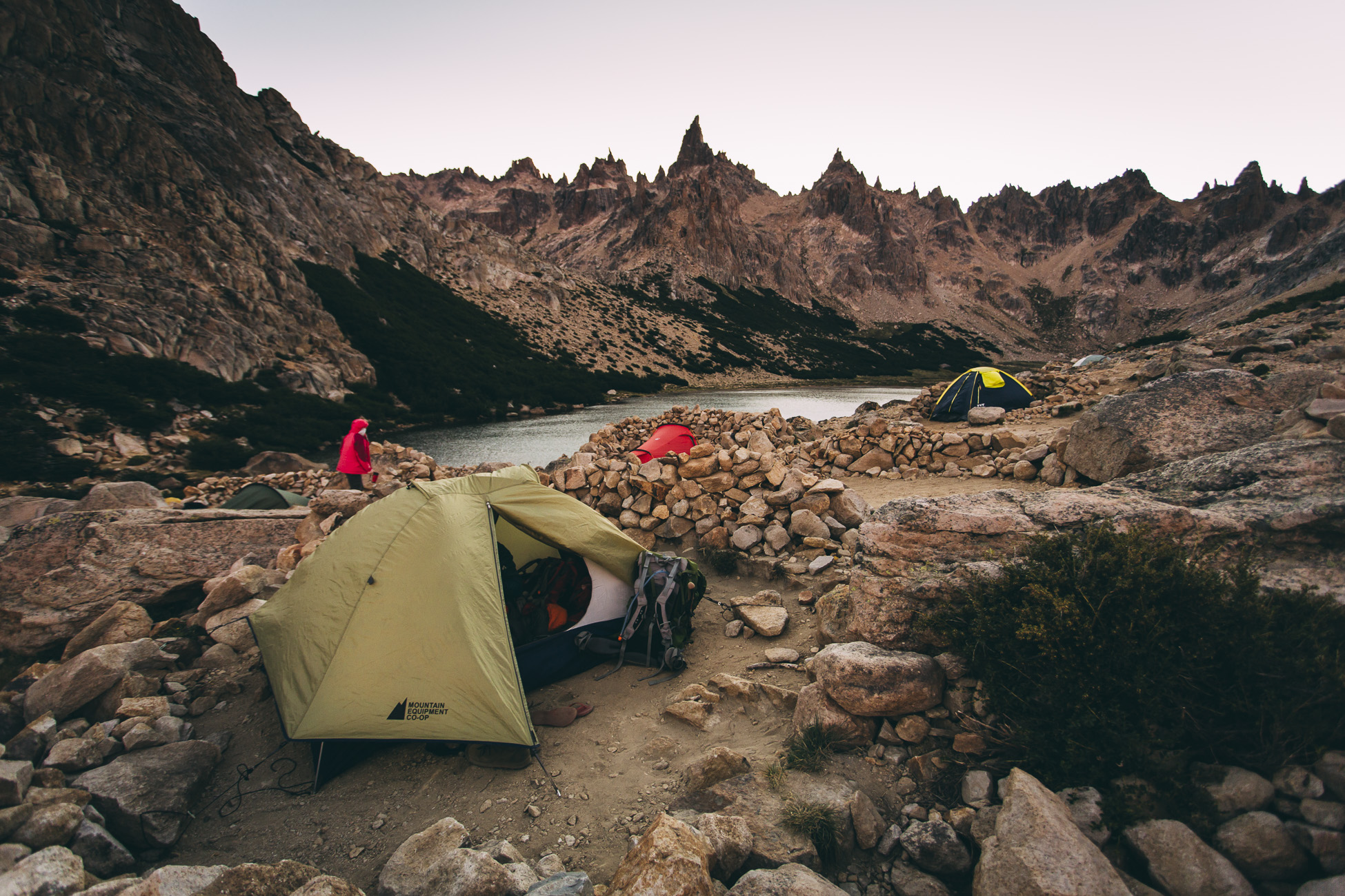
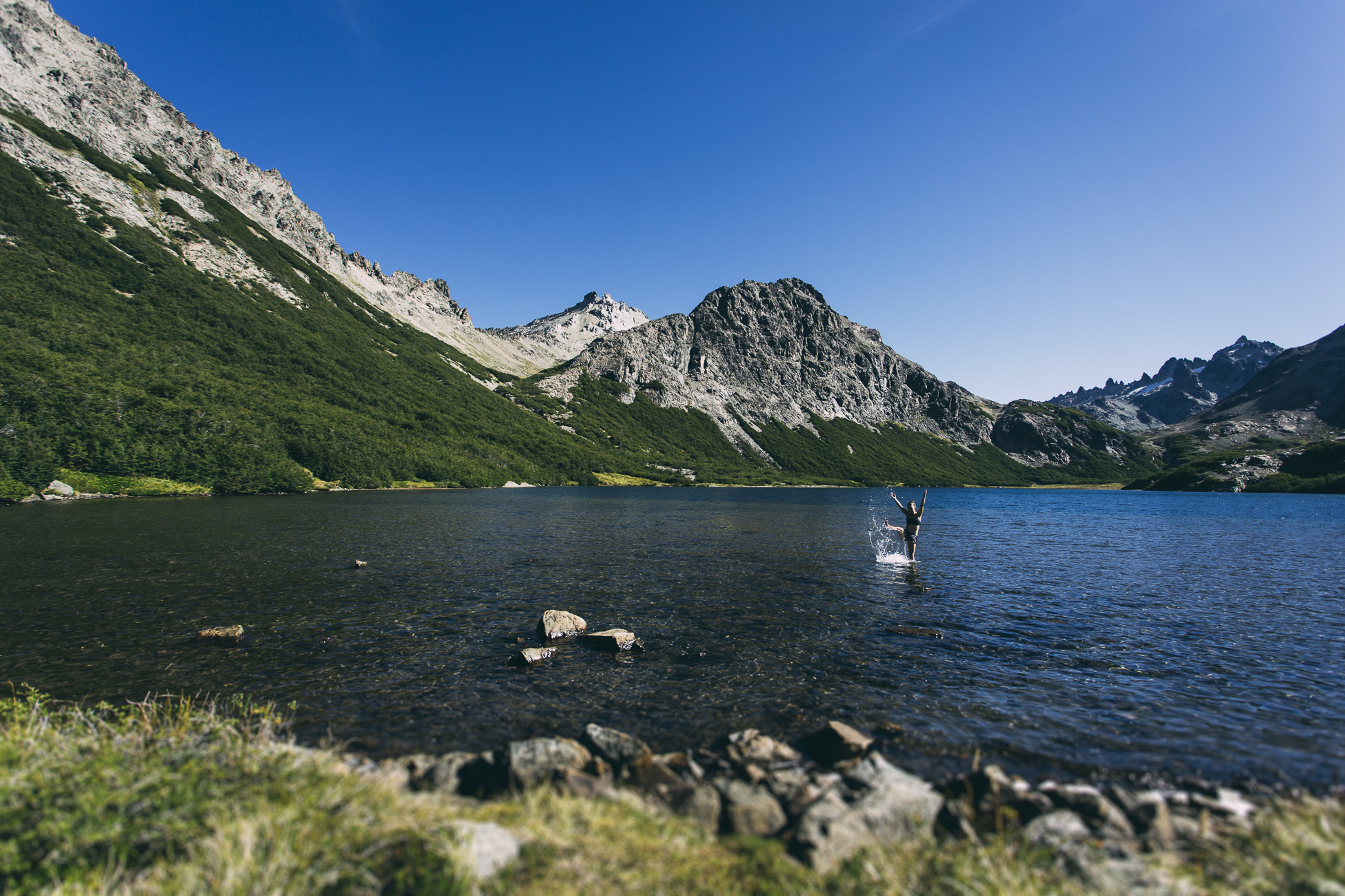
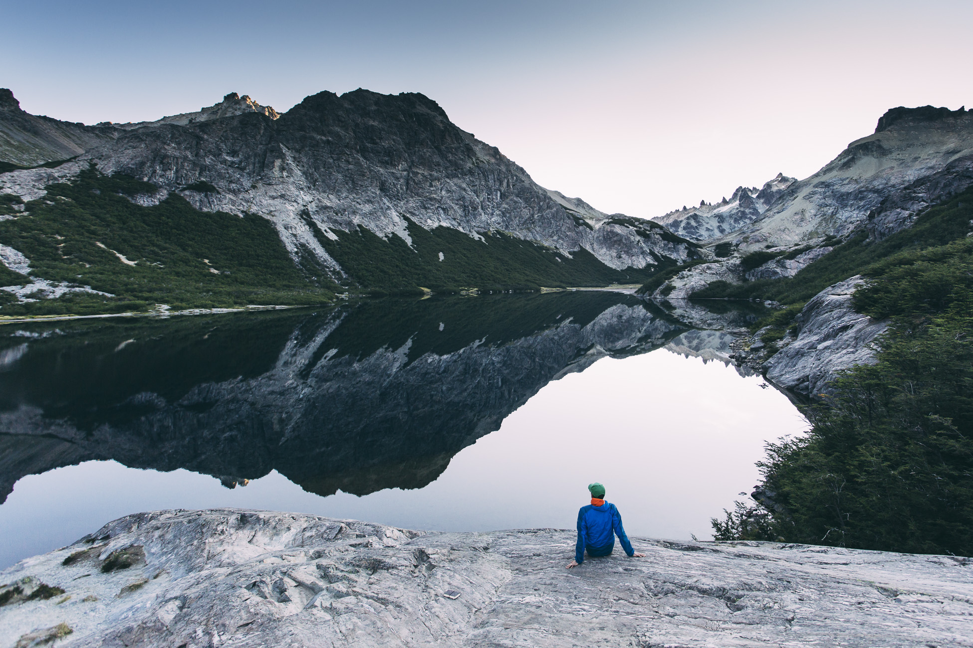
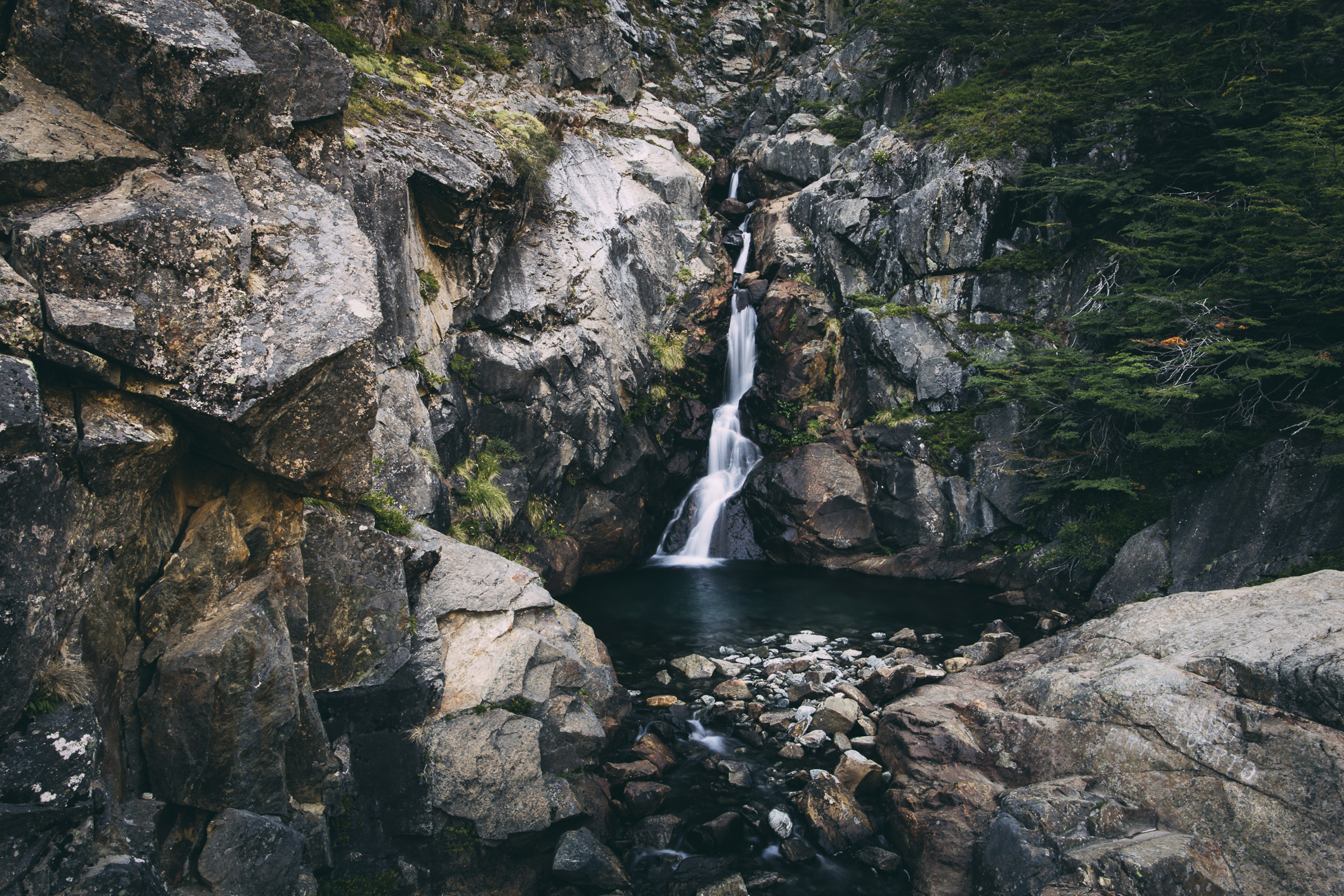
Just before reaching Refugio Jakob we launched our hot, sweaty and sticky bodies into the glacier-fed lake for a refreshing and well-needed swim. The heat and inflammation that had accumulated in our joints and skin during that day was cooled and soothed by the ice cold water. It was one of the best feelings ever. That and putting on clean clothes afterwards.
Our new friend and hard-core kick ass British trekker named Harriet spent some time journalling by Laguna Jakob.
Day 3: Refugio Jakob to “Highway” 79
I’m not going to lie, our main goal on Day 3 was to get to Highway 79 and back to our campsite. My toe was feeling pretty devastated which made the 13 kilometre descent back and forth in a series of switchback curves feel endless. Eventually we reached a flat gravel road lined with dry vegetation and little else. We reached Highway 79 and dropped our packs into the dirt. Unfortunately it can be difficult to find transportation in this location but a kind local man called a taxi for us from his cell phone.
Back at camp I stripped off my socks and flinched at the sight of my swollen blistered toe. Nonetheless, the Nahuel Huapi Circuito Chico remained one of our favourite hikes of the whole trip… actually, to this day it is probably my favourite multi-day trek and I can only imagine how incredible the full circuit must be.
We had celebratory pancakes the next morning and, like masochists, started planning our next multi-day trek in Chile’s Cochamo Valley.
Resources:
Parque Nacional Nahuel Huapi Website
Lonely Planet Guide: Trekking in the Patagonian Andes
Unbelievable experience that you will never forget. Looking forward to comparing notes when you do Torres del Paine which also offers up epic trekking.
Pingback: 4 Bucket List-Worthy Patagonia Hikes