
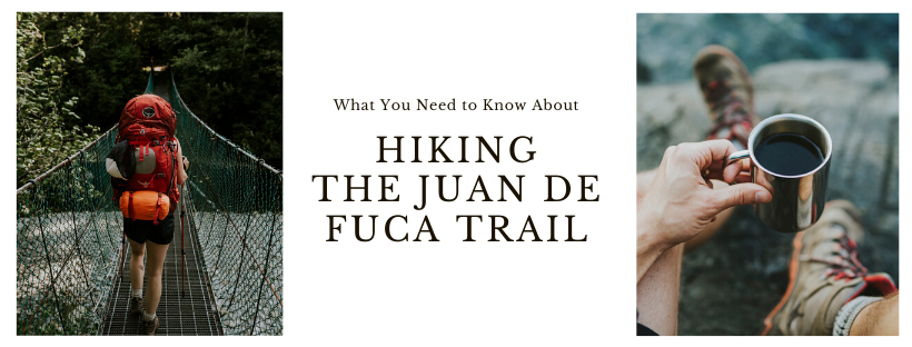
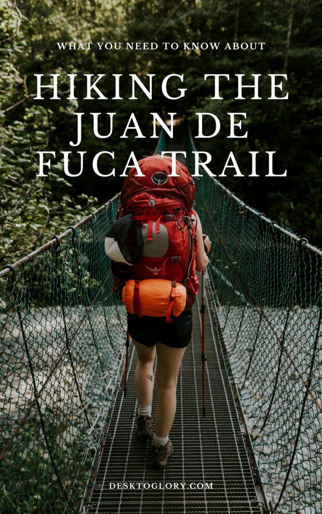
Hiking the Juan De Fuca Trail
June 1, 2020: Please note that Juan de Fuca Provincial Park re-opens today. Click HERE for more details. Please read the BC Parks Visitor Guide to Camping During COVID-19 for tips on recreating responsibly.
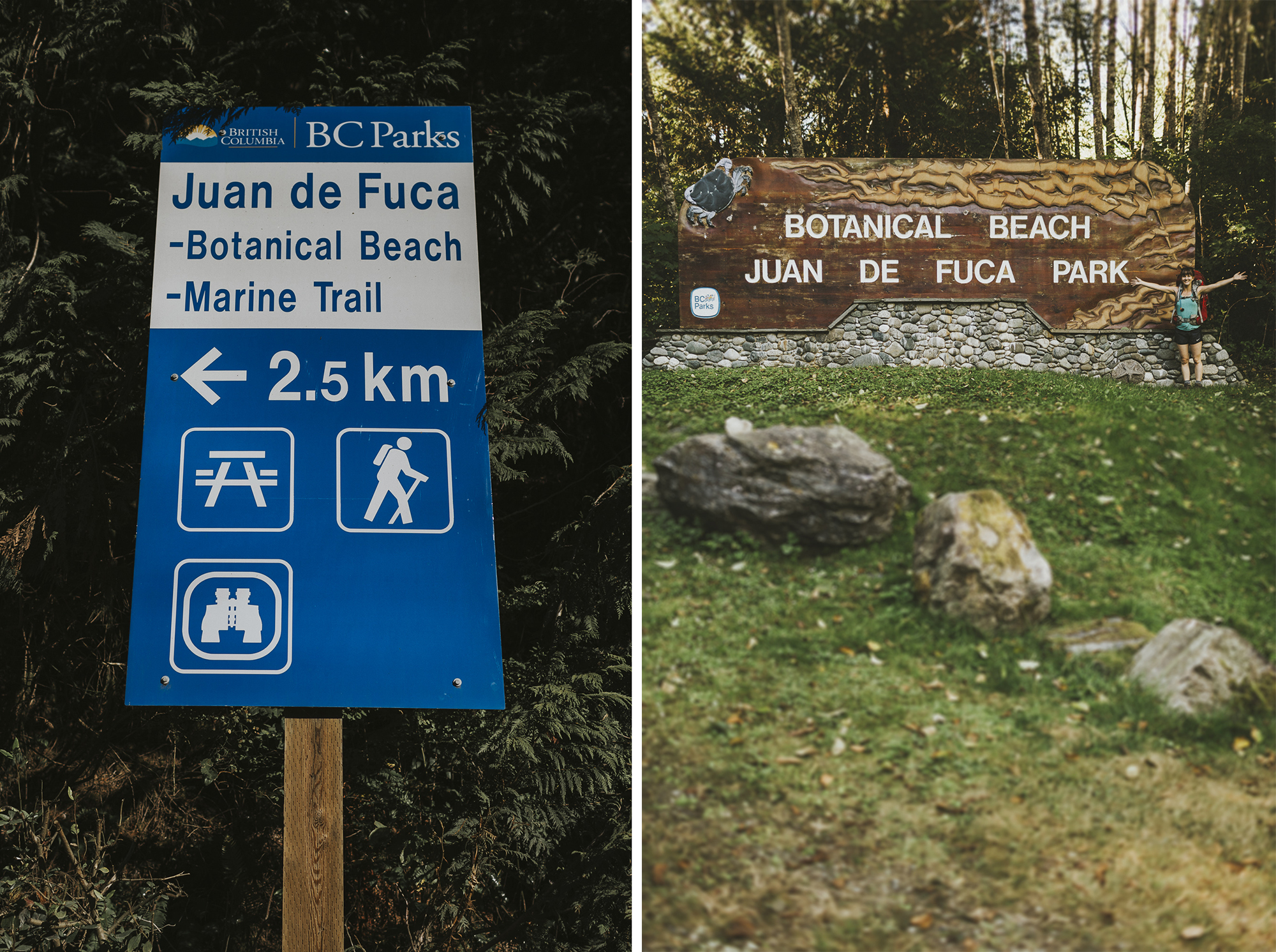
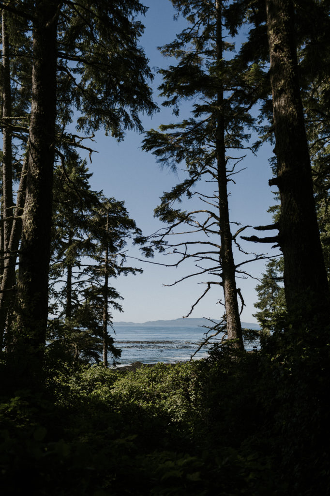
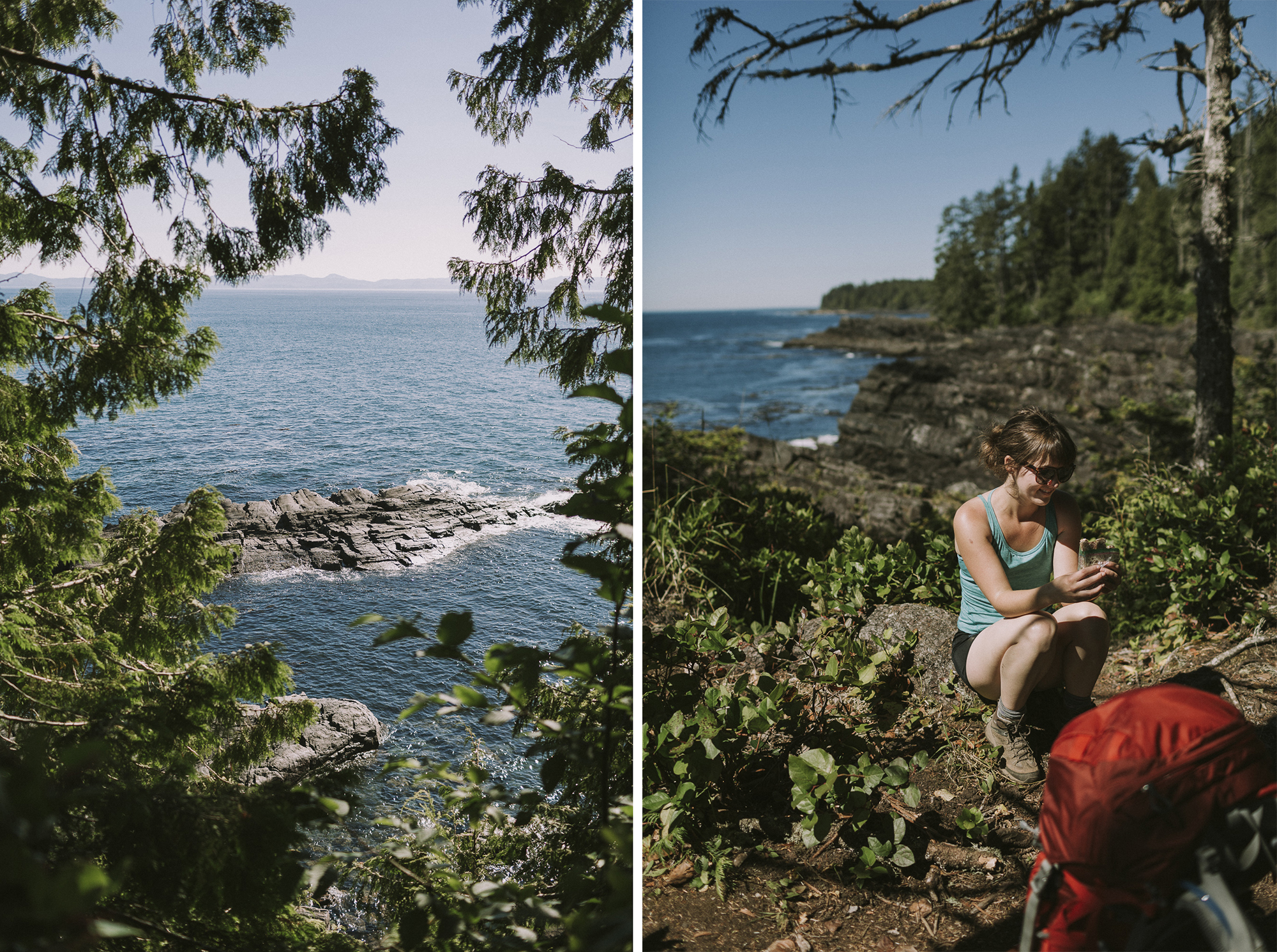
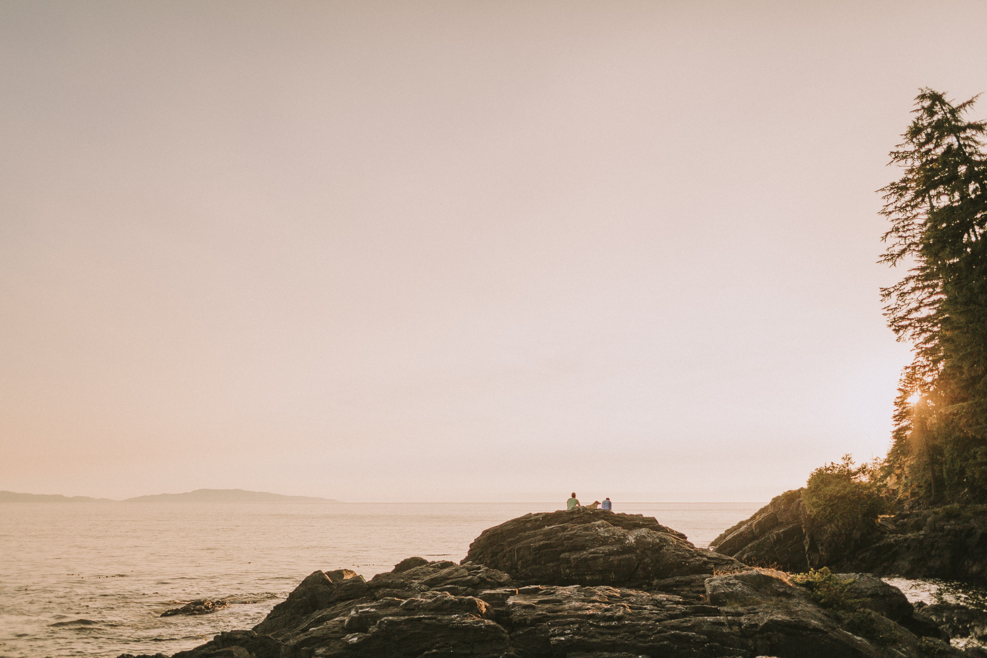
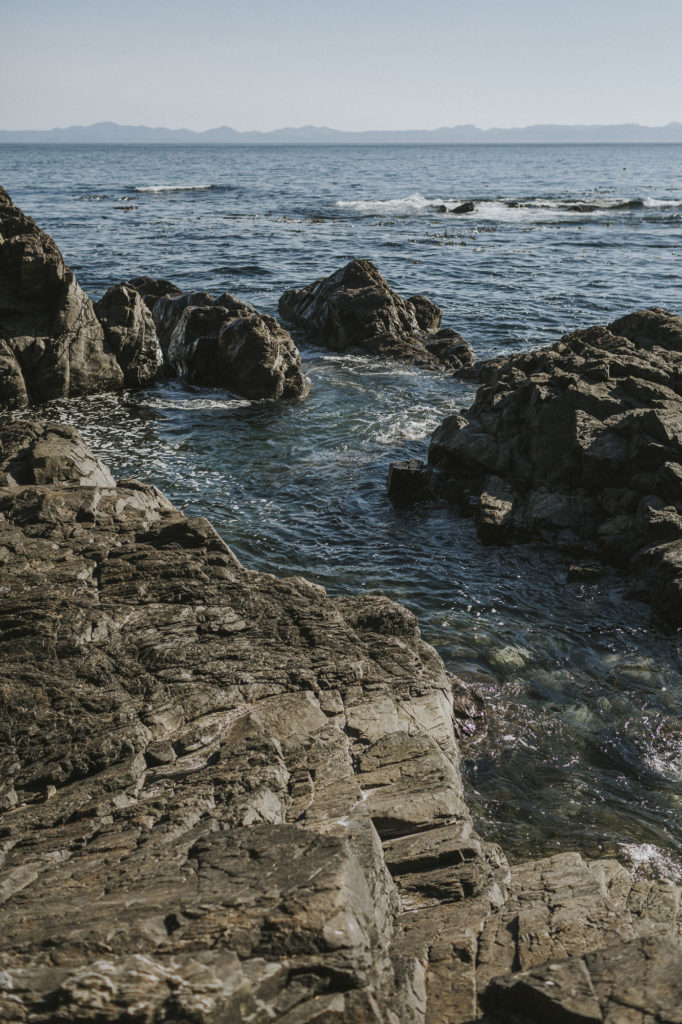
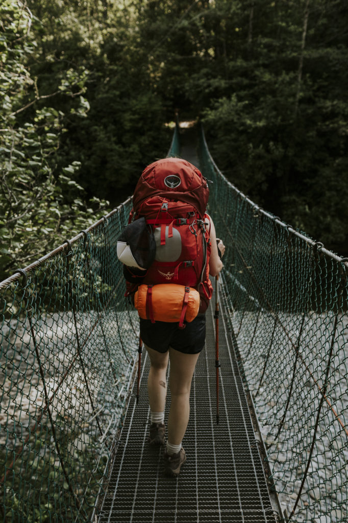
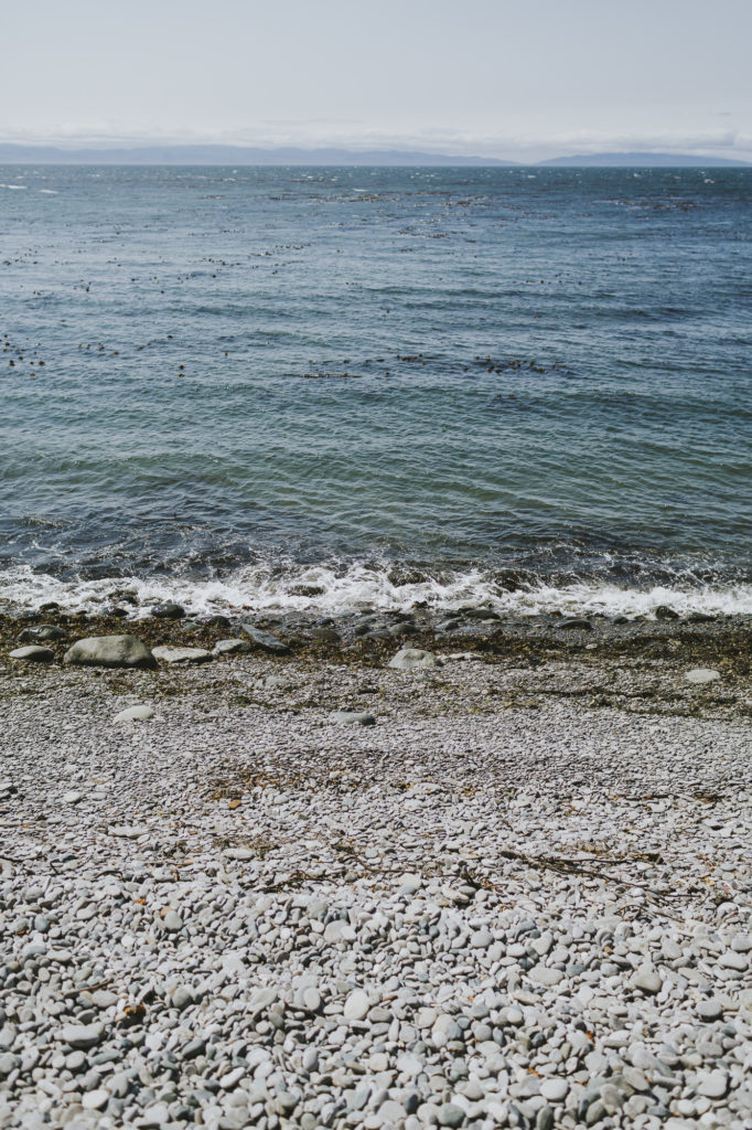
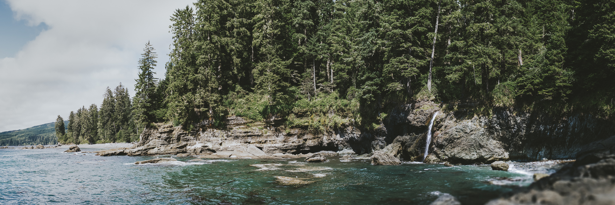
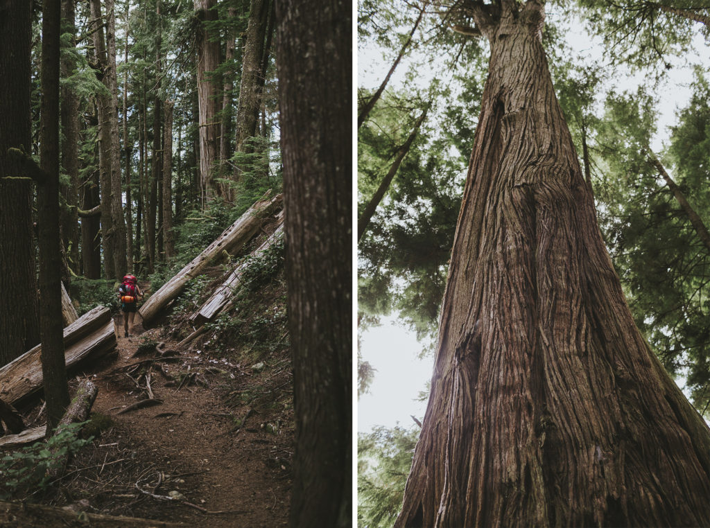
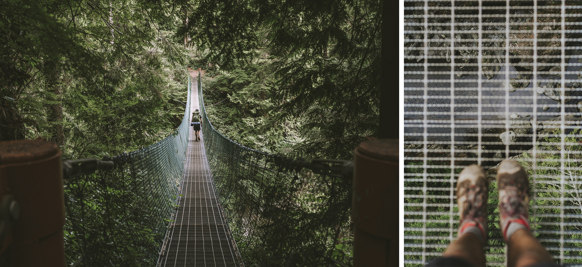
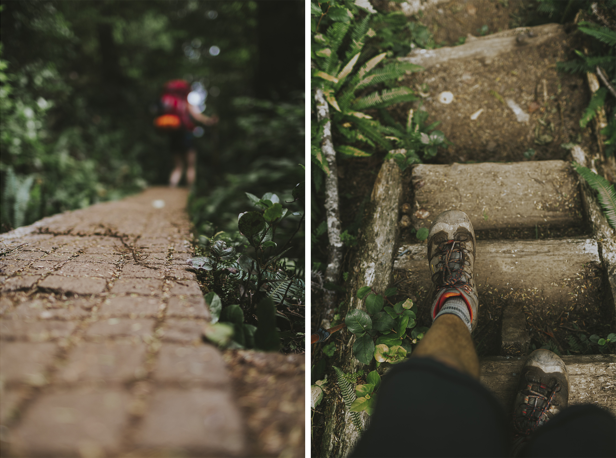
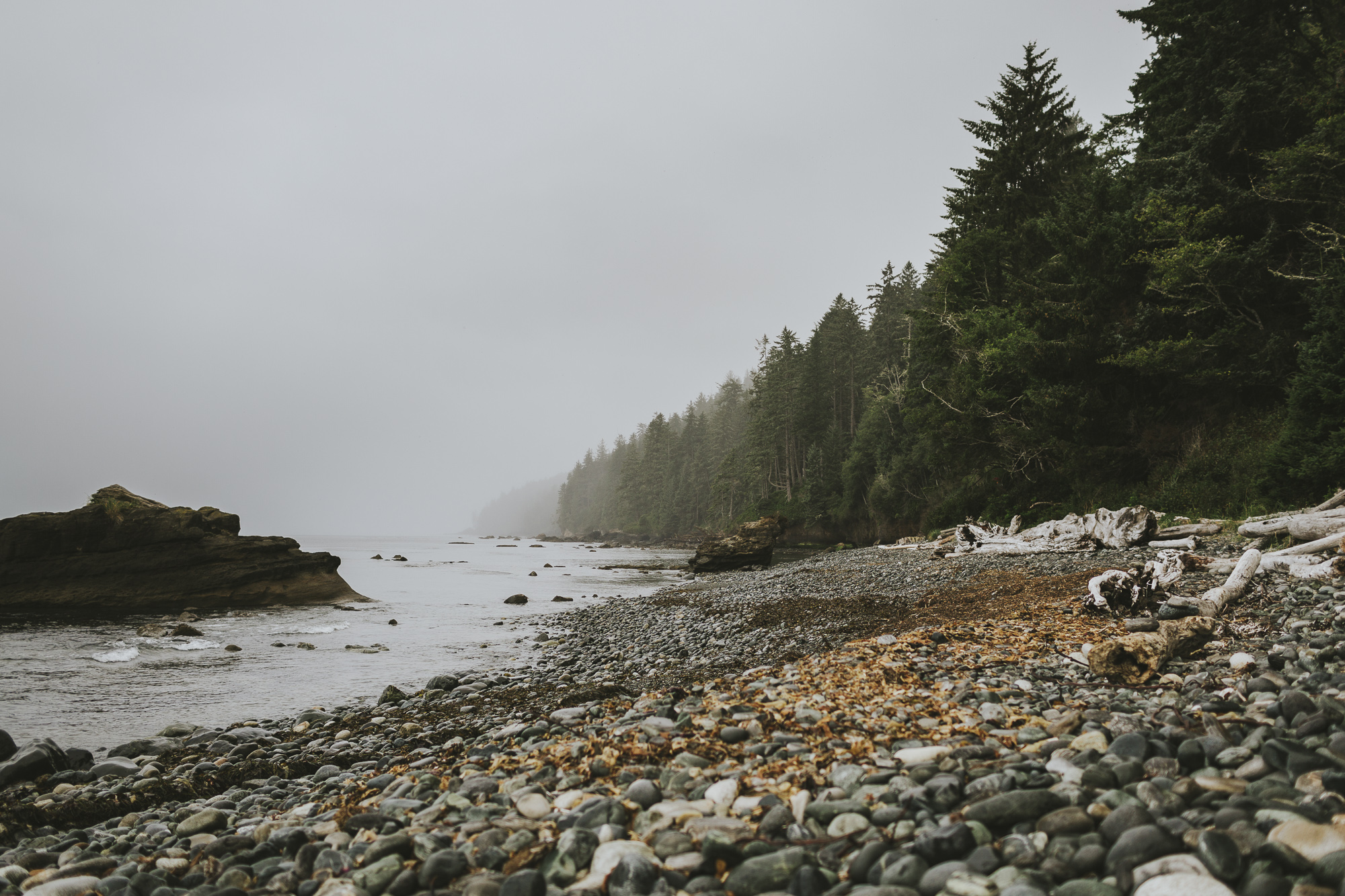
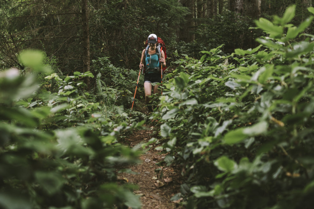
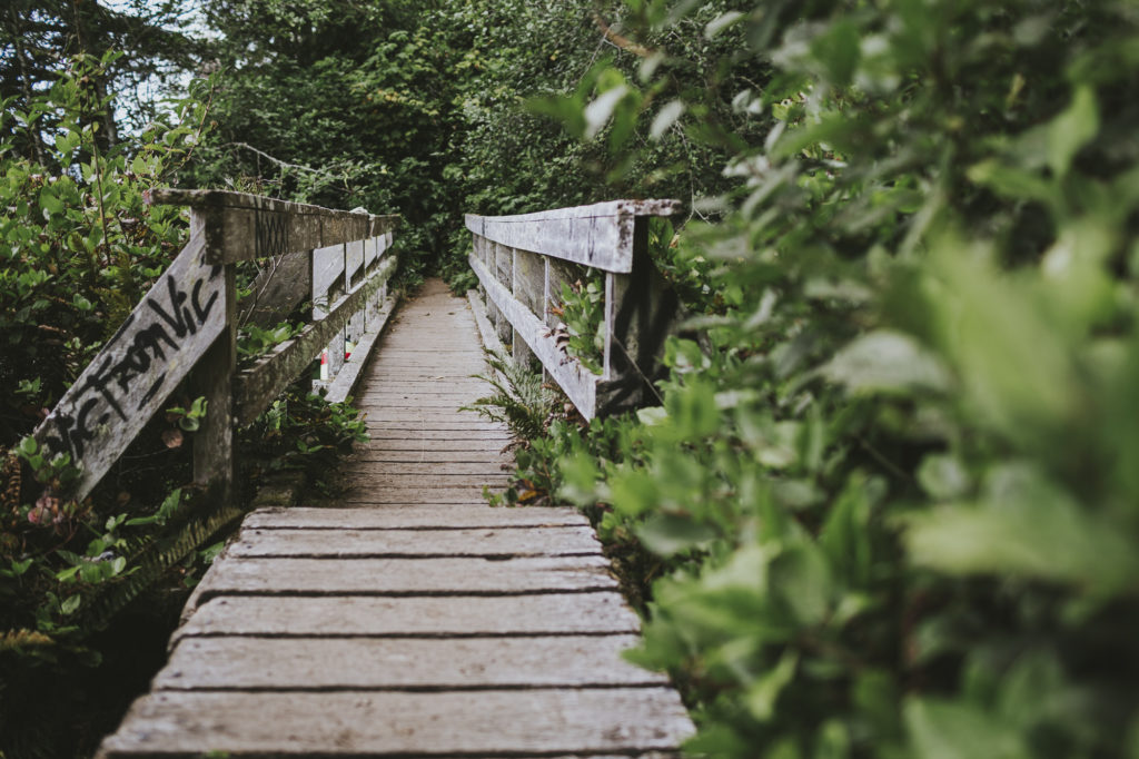
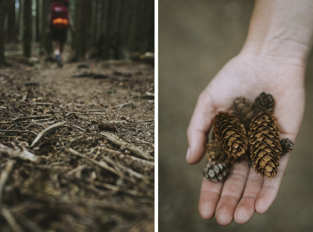
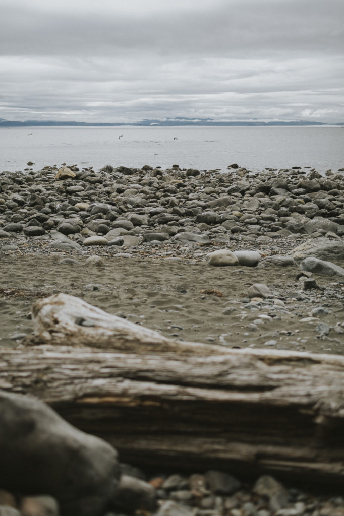
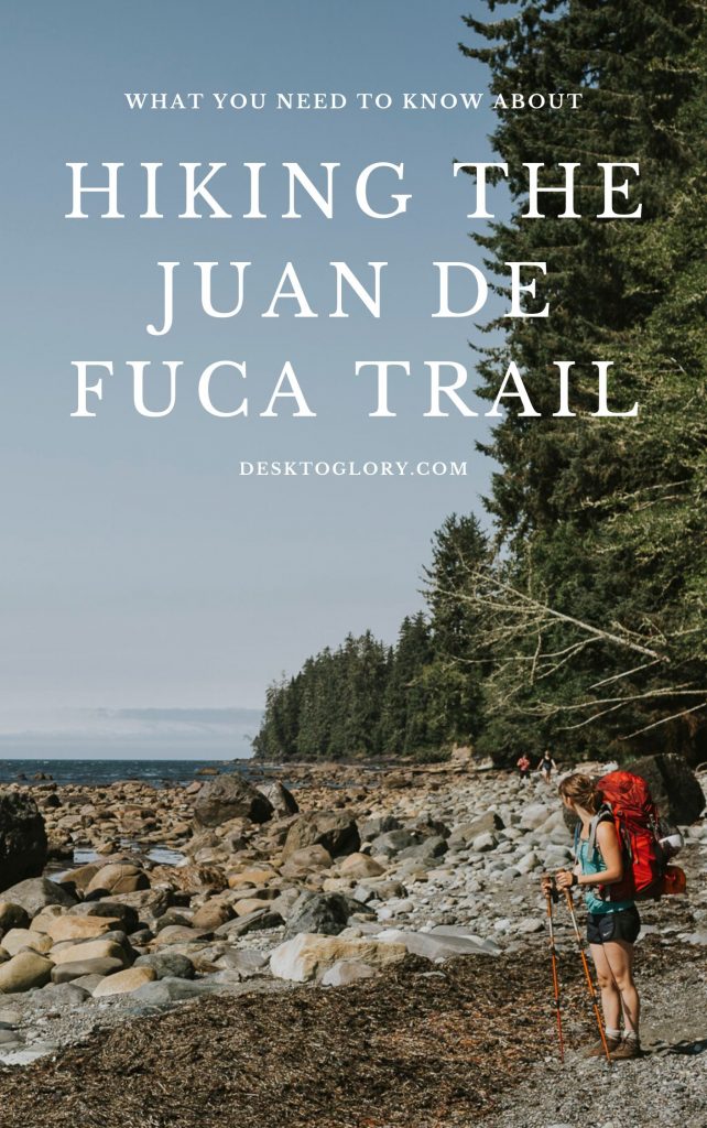
Located on the west coast of southern Vancouver Island, Juan de Fuca Provincial Park offers visitors the chance to bask in its rainforests, try out the surf, observe local flora and fauna, and, in our case, hike the local trails. One of the park’s main features, the Juan De Fuca Marine Trail, winds 47 kilometres along the Pacific coastline of the Strait of Juan de Fuca. We arrived at the trailhead located at Botanical Beach back in August 2017 ready for our four-day, three-night adventure in the west coast wilderness.
HISTORY
Pacheedaht First Nations territory encompasses the lands and waters along the southwest coast of Vancouver Island between Bonilla Point and Sheringham Point. Pacific Rim National Park Reserve is located within this traditional territory. The Name “Pacheedaht” translates to English as “Children of the Sea Foam.”
According to the Pacheedaht First Nation Website, anthropologists refer to the Pacheedaht, and neighbouring Ditidaht, as related by language and culture to the Nuu-chah-nulth First Nations, whose territories are distributed along the west coast of Vancouver Island. Archeological evidence from investigations and testing at several west coast sites on Vancouver Island confirm the presence of Indigenous people along the west coast of Vancouver Island for the past 5,000+ years.
Historical accounts dating from the 1700s indicate that Pacheedaht people’s livelihood and economy was based primarily on marine resources, and that they traded extensively in marine resources with other First Nations and with white explorers and traders. Their trade networks extended as far south as California, and included items such as dentalia shells, furs, land pelts fresh fish and whale or dogfish oil.
In 2019 the Ditidaht and Pacheedaht First Nations signed an agreement-in-principle with the Canadian provincial and federal governments – a step that will begin the final stage of treaty negotiations. The agreement includes land and resource management, harvesting rights, cultural and heritage protection, and economic development.
The treaty settlement will include the Pacific Rim National Park Reserve, which would be co-operatively managed, and would give the Ditidaht and Pacheedaht First Nations the opportunity to share their history, stories and experiences with visitors from around the world. I, for one, would love to return to the area to learn more about it.
Note: If you would like to skip the logistical information and merely bask in some virtual nature therapy, go ahead and scroll past the gear section. That’s where Richard’s pretty photographs start.
THE TRAIL
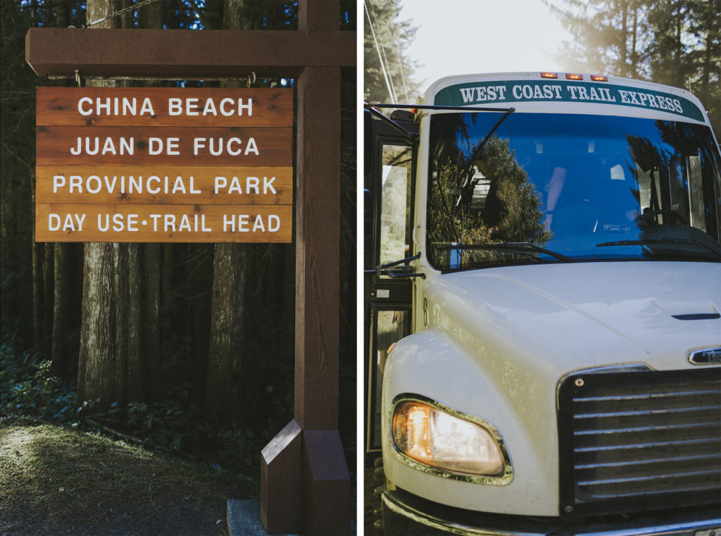
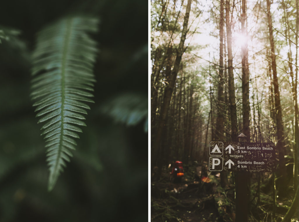
BC Parks has a great run-down of the trail HERE. There are four trailheads: China Beach, Sombrio Beach, Parkinson Creek and Botanical Beach. Hikers start either at Botanical Beach or China beach as the hike is do-able from either direction. We decided to start at Botanical Beach, which is just over 3 kilometres from Port Renfrew. You can park your vehicle at China Beach and take the West Coast Trail Express Bus up to Port Renfrew (more about that below).
It is helpful to print out the TRAIL MAP. The map outlines valuable information such as the distance between camps and a bit of tide information. It also gives a great visual representation of the trail.
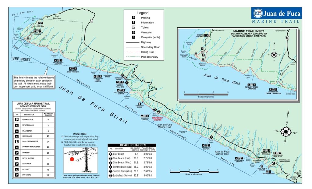
TIDE CHARTS
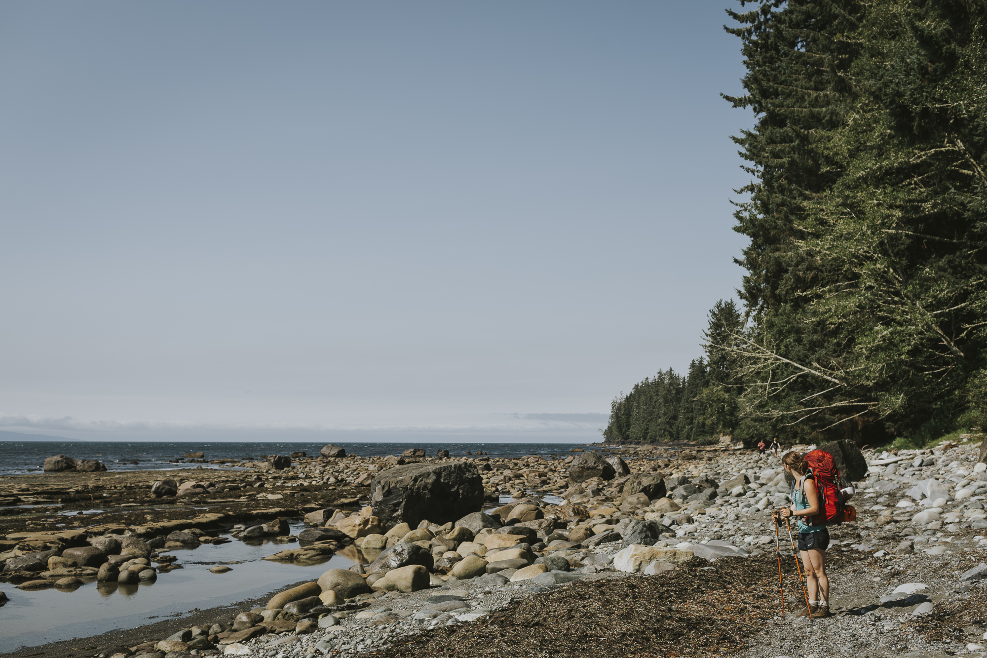
There are several sections of the trail that are impassable during high tide. This will vary in severity depending on time of year. In August we had no problems, but it’s worth being aware of. On days two and three of the hike, hikers should be cognizant of several potential tide problems.
Day Two Tide Problems:
- Chin Beach E (20.6 km)
- Chin Beach W (21.3 km)
- Sombrio Beach E (28 km)
- Sombrio Beach W (29.6 km)
- West of W. Sombrio Bluff (30.2 km)
Day Three Tide Problems:
- Bear Beach E (8.7 km)
We used this TIDE CHART for the Port Renfrew area to track high and low tides and used the Beach Cut-Off points on the trail map above to ensure we wouldn’t be held up by an impassable section of trail.
TRANSPORTATION
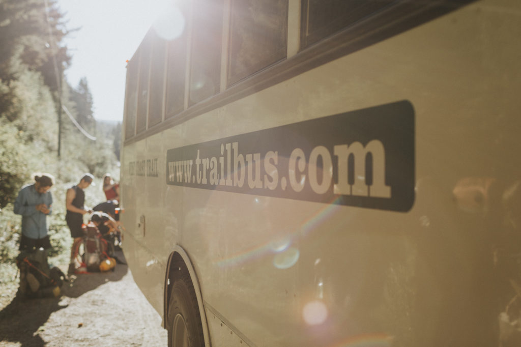
The West Coast Trail Express offers a shuttle bus service that picks up and drops off passengers in Victoria, Sooke, Jordan River, China Beach, Sombrio Beach, Port Renfrew and Nanaimo. We parked our vehicle at the China Beach parking lot and walked up the road to catch the bus. If you decided to hike the trail with friends, you could park one vehicle at China Beach and the other in Port Renfrew.
The West Coast Trail Express Juan De Fuca Trail shuttle fares vary depending on location. You can find a listing of fares HERE. From China Beach to Port Renfrew, we felt the fare was somewhat pricey at $30 CDN per person.
As August is a fairly busy time of year for hiking, and the same shuttle is used for the popular West Coast Express, we reserved our spot ahead of time.
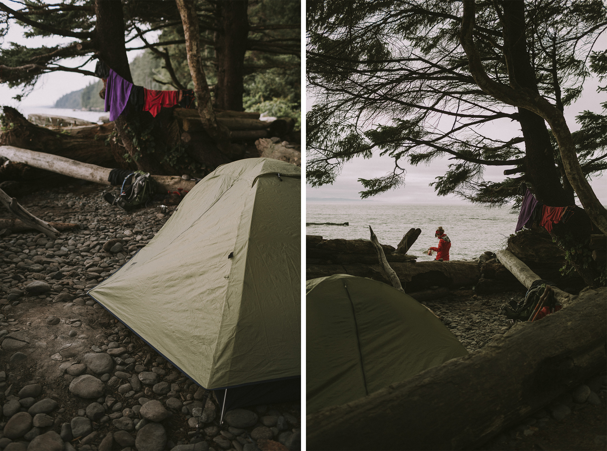
CAMPING
Backcountry camping permits are required to camp overnight at all campsites along the trail. Cost: $10 per adult per night and $5 per child per night. Self-registration envelopes are located at both the east and west trailheads (cash only, bring exact change) or you can purchase your backcountry permits online at the BC Parks Backcountry Registration System. Each campsite has pit toilets available.
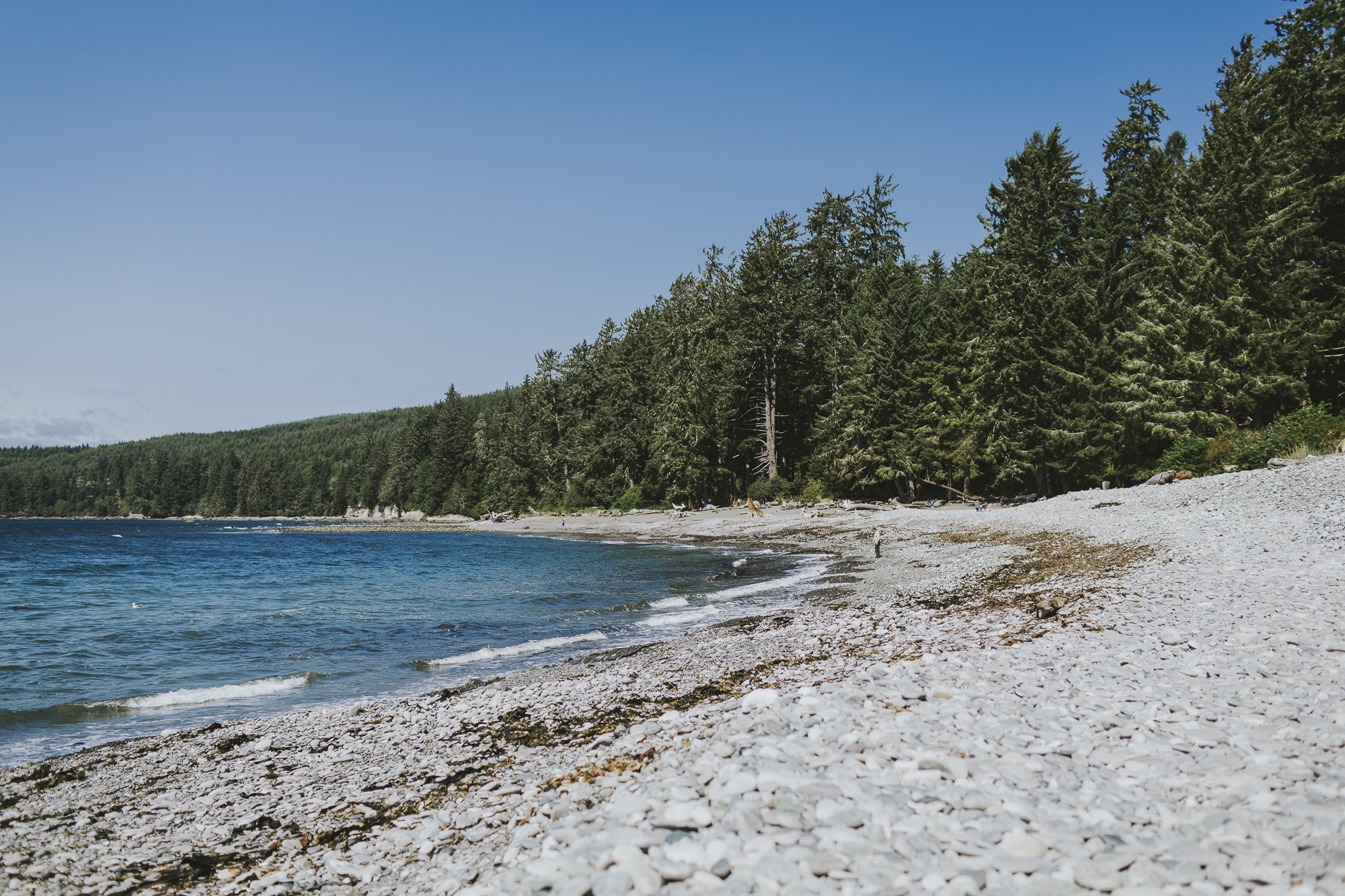
There are both beach and forest sites along the Juan de Fuca Marine Trail. We camped at Little Kuitsche Creek and Chin Beach.
Beach camping is permitted at Mystic Beach, Bear Beach, Chin Beach and Sombrio Beach (East). Campers are required to use designated sites at West Sombrio.
Forest sites include Little Kuitsche Creek and Payzant Creek. Fires are not permitted at these locations.
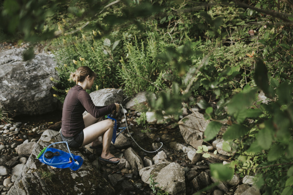
DRINKING WATER
We recommend bringing a water filter or treatment system as water is not potable along the Juan de Fuca Trail. Drinking water is available at China Beach only.
We used our MSR MiniWorks EX Water Filter.
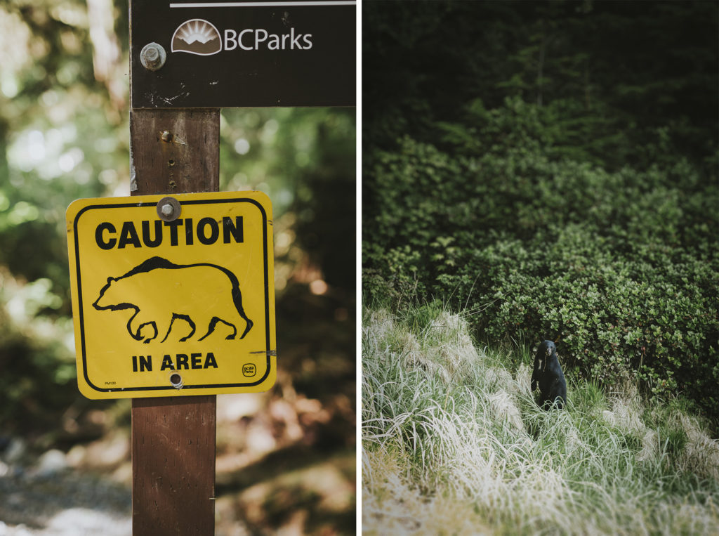
BE BEAR AWARE!
Check out BC Parks’ Staying Safe in Bear Country wildlife guidelines HERE. We came upon a black bear with two cubs on the trail. We were relieved to have reviewed the guidelines and knew that when the momma bear stood up on her hind legs, she was doing so to get a better view (and smell!) of us. We brought a bear bell and one can of bear spray each.
We also spotted a black bear eating seaweed on the beach. Bears are used to humans in the area and can be slow to respond. A fellow hiker blasted an air horn and the bear didn’t seem to be bothered one bit.
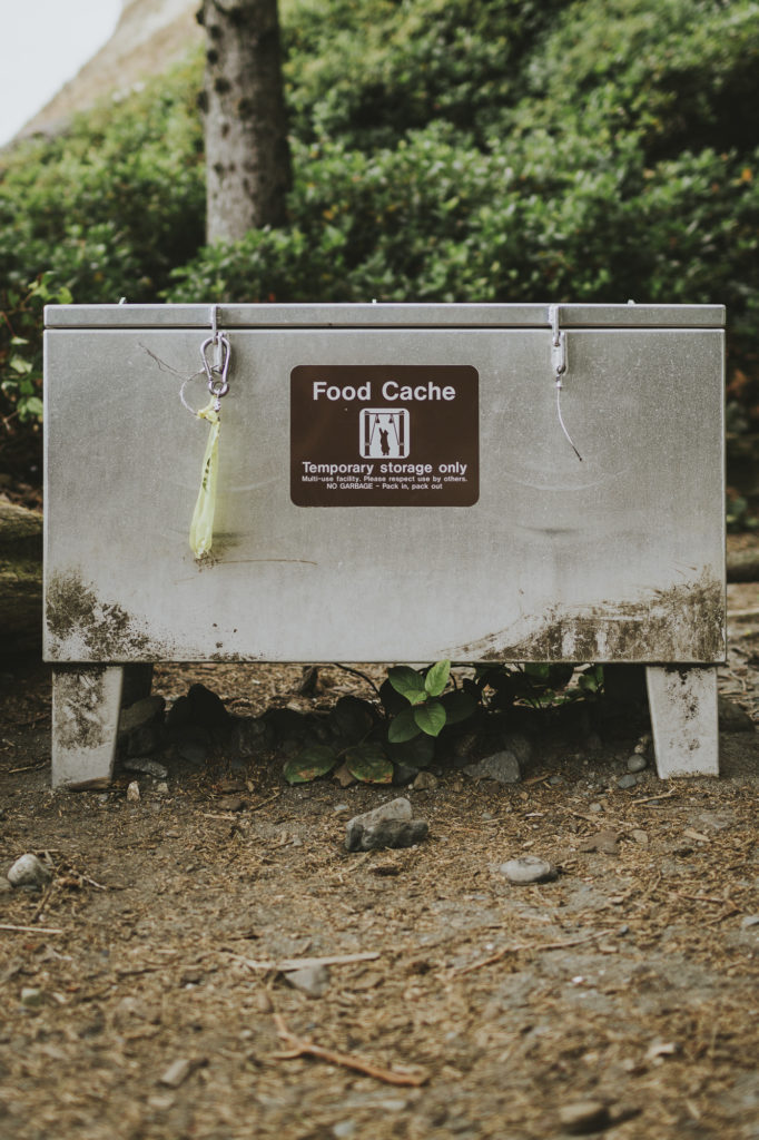
Bear-proof food caches are available at each of the campsites, but these can fill up quickly. Be prepared to cache your own food.
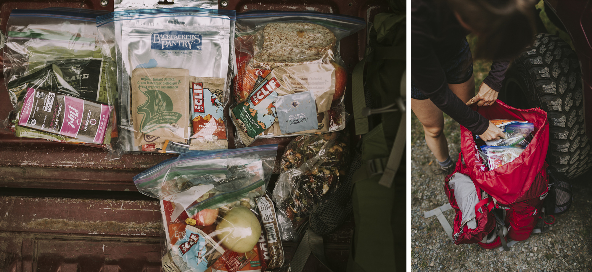
FOOD
We’ve listed the trekking snacks and meals we brought on the trail with us below. The serving size is for one person.
Ideally you want to bring high calorie, lightweight food items. We like to bring fresh stuff for the first day, like fruits and vegetables and hummus. Some of the fresh stuff can carry over into Day Two. Cucumbers and peppers don’t save well, whereas carrots can usually last at least a couple of days. If you have a dehydrator at home, dehydrate your own trekking meals! It is a great way to prepare delicious and healthy meals at a fraction of the cost.
DAY 1
- 2x homemade spelt banana muffins
- 1x banana
- Clif Bar
- Naked Bar
- Apple
- 1x pre-made sandwich (turkey, lettuce, avocado, tomato, mustard, etc.)
- Piece of chocolate
- GORP Type 1 (approx. ¾ cup per day)
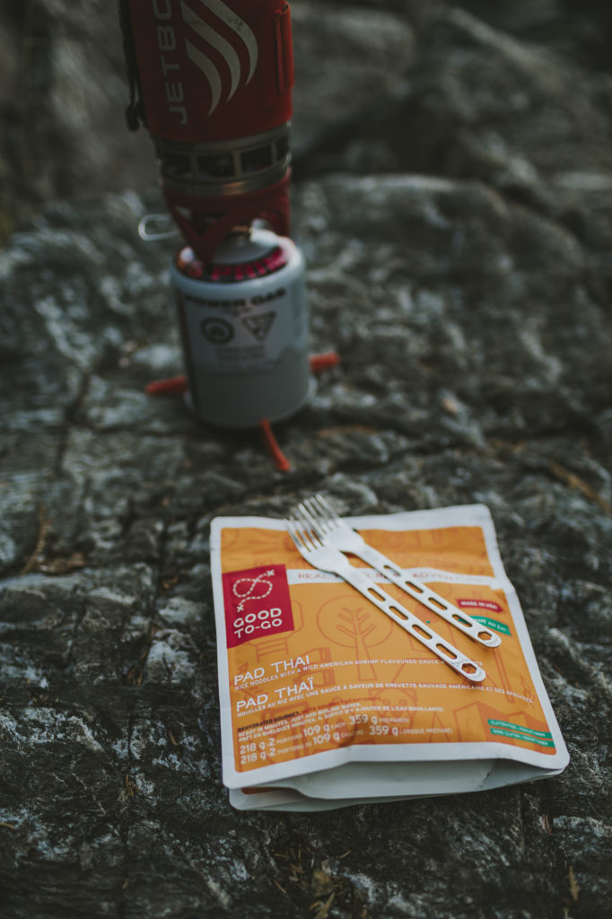
- Good to Go Pad Thai packet
DAY 2
- 1 packet of instant oatmeal
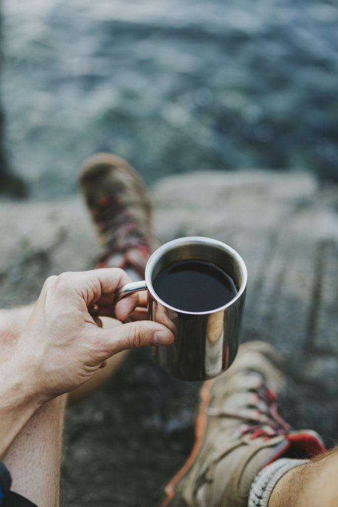
- 1 cup of instant coffee
- Clif bar
- Naked bar
- 2 x peanut butter sandwiches
- 1 apple with hard cheese
- Handful of GORP & square of chocolate
- ¼ of a cucumber
- Good to Go Bibimbap packet
DAY 3
- 1 packet of instant oatmeal
- 1 cup coffee or earl grey tea
- Clif bar
- 2 Naked bars
- ½ cup dried apples
- 2 x peanut butter wraps on Ezekiel tortilla wrap
- Few pieces of Crave Beef Jerky
- Handful of GORP (Prana Organic Machu Pichu mix)
- Dinner out at the 17 Mile Pub!
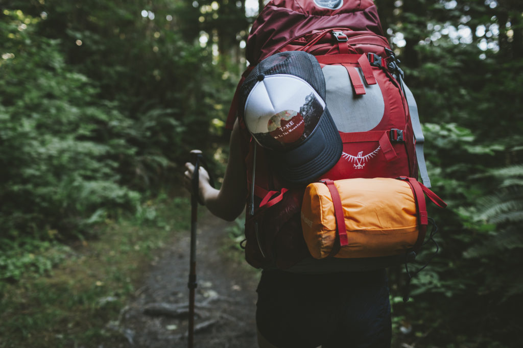
GEAR CHECKLIST
Check out REI’s Backpacking Checklist or our Our Complete Overlanding Gear List (it has a section on backpacking) for two comprehensive packing lists. REI also has a great series on How to Go Backpacking if you are a beginner.
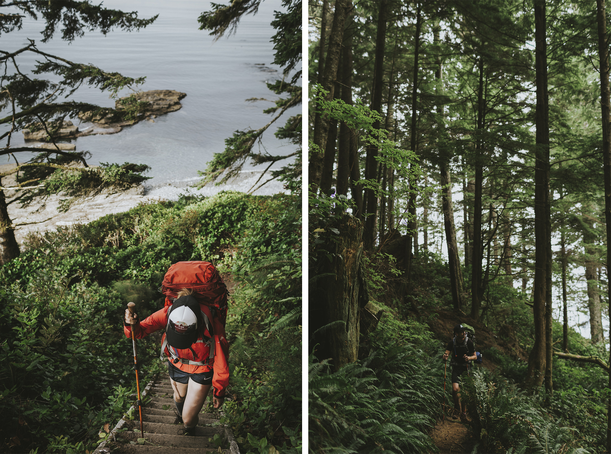
Day 1: Botanical Beach to Little Kuitsche Creek Camp (14 km)
We started early from Victoria and drove to the China Beach parking lot, just in time to catch the West Coast Trail Express Bus at 8:05 a.m. at Highway 14 and the China Beach Trailhead Entrance. The Trail Bus can get booked up in advance, so be aware of this if you plan on hiking during a busy period (such as a long weekend).
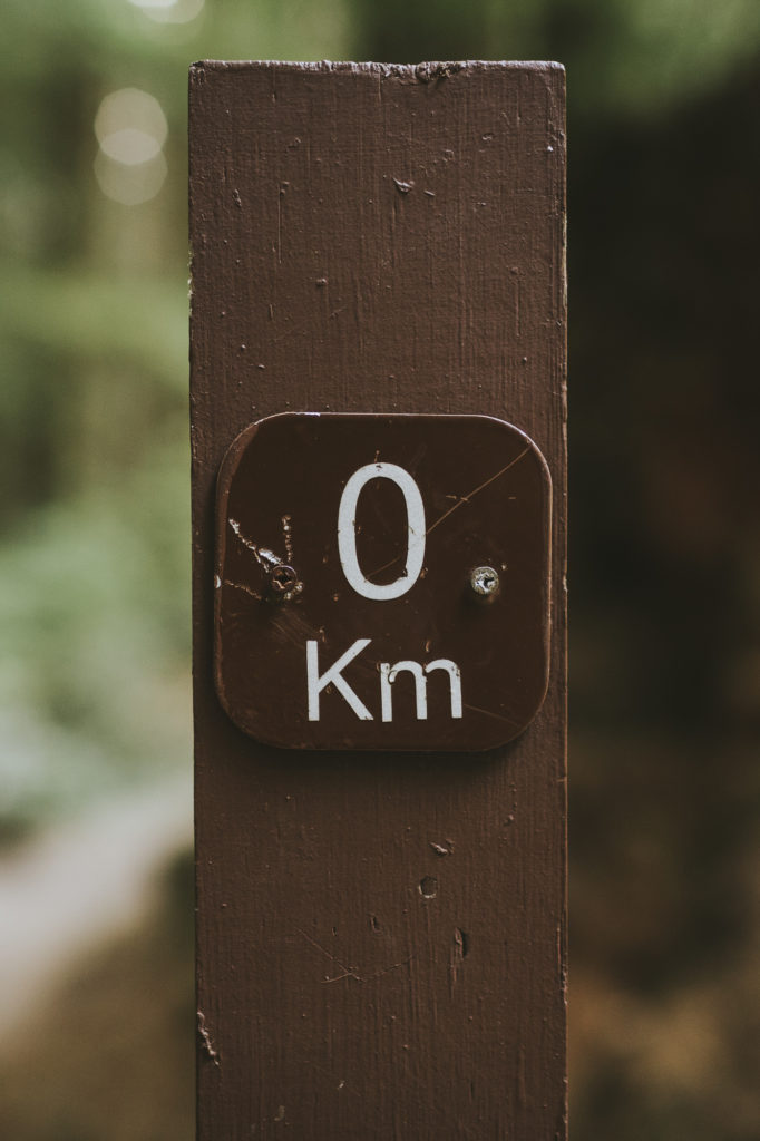
After about 45 mins we arrived in Port Renfrew 8:45 a.m. at the Cerantes and West Coast Road intersection by the Port Renfrew Hotel (the Port Renfrew Resort sign). For us, this is where the hike started. There is a big sign guiding the way to the correct road. After 2.5km of walking on pavement, we made it to the trailhead at Botanical Beach and the official start of the 47- kilometre-long Juan De Fuca trail.
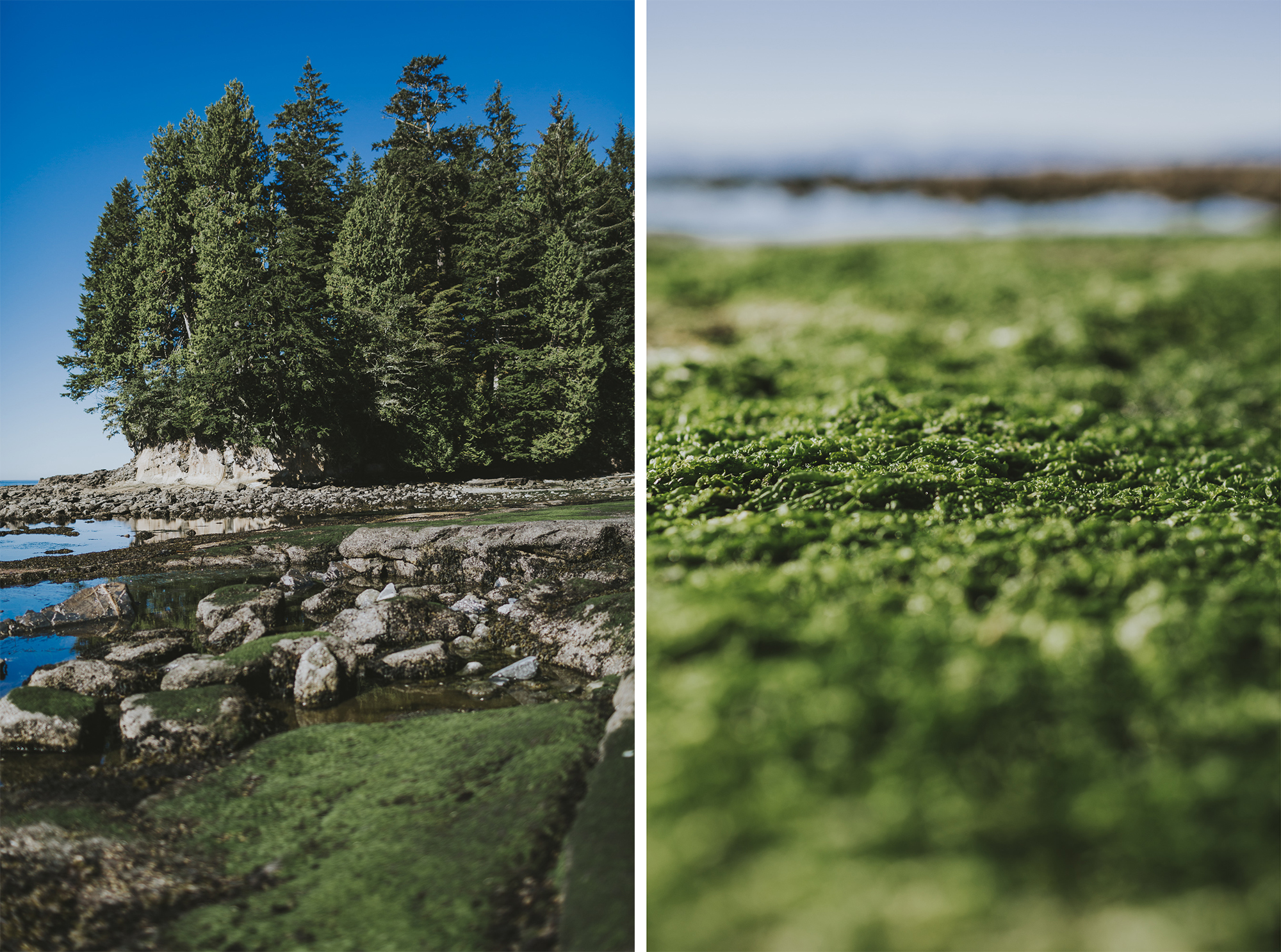
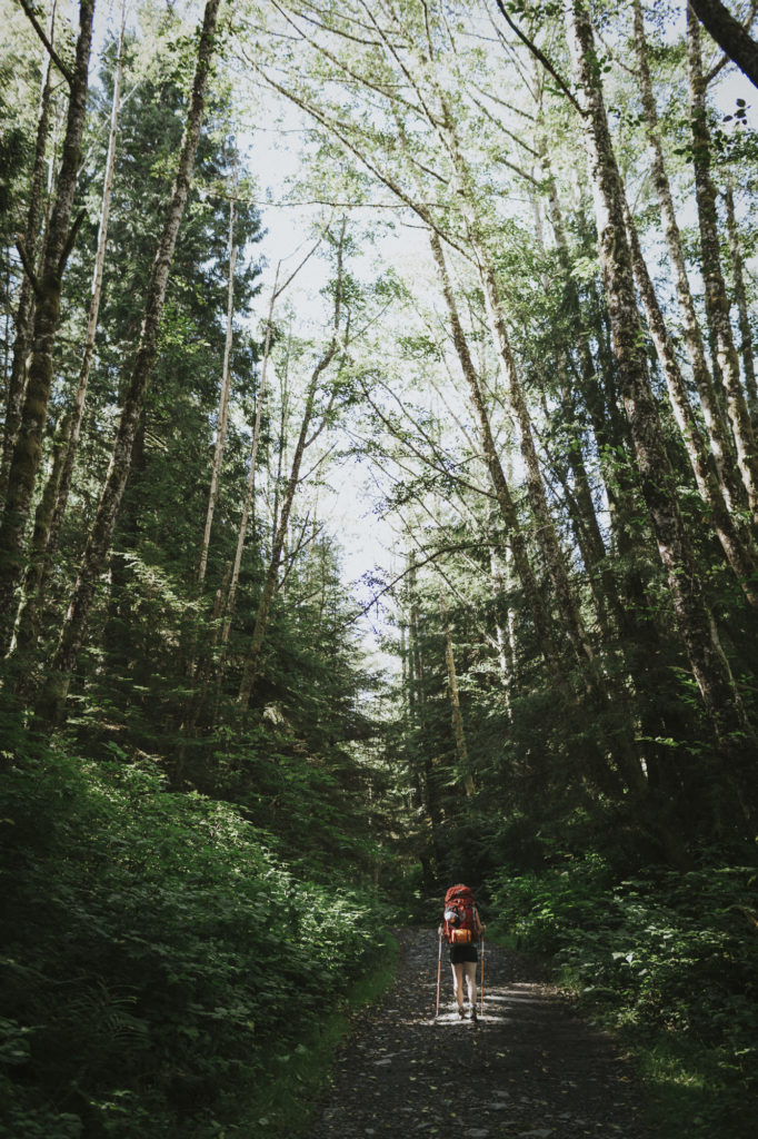
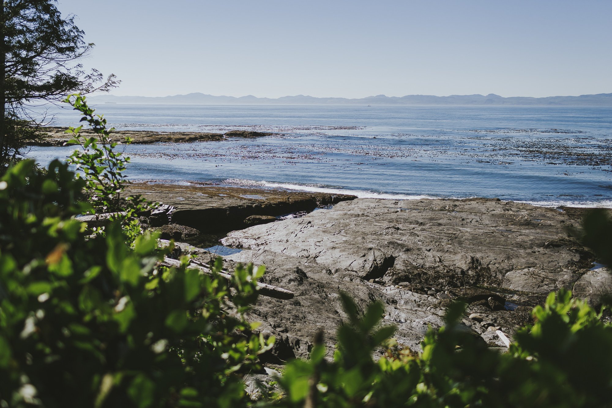
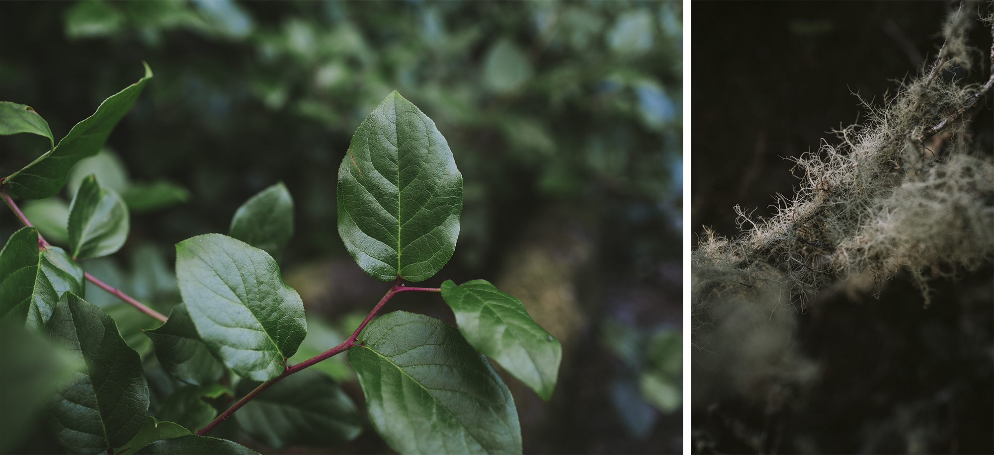
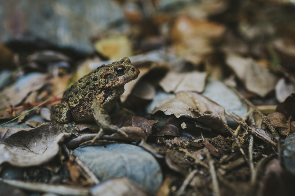
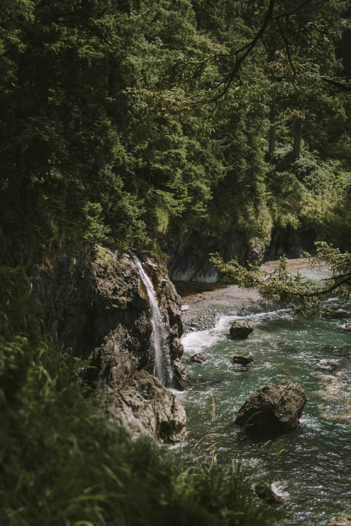
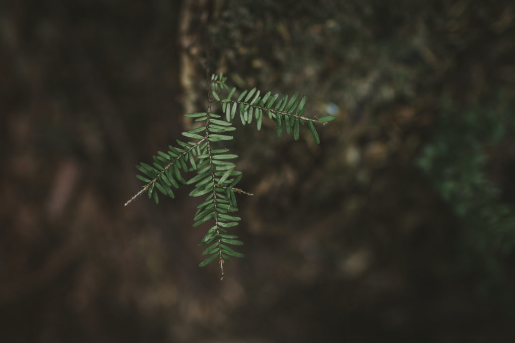
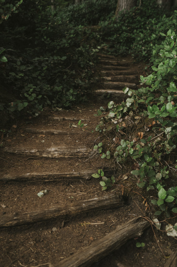
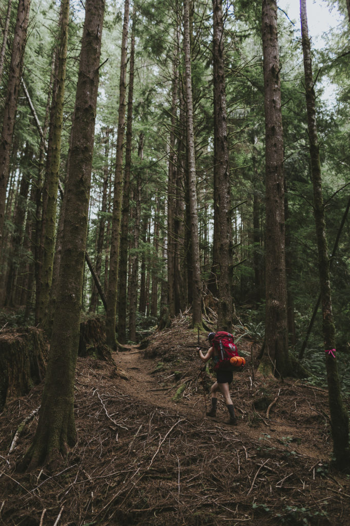
This thick coastal forest boasts never-ending shrubs of salal, usnea (Old Man’s Beard Lichen), red cedar and western hemlock trees.
For First Nations, [salal berries] are one of the most important of all the fruits because they can be mashed and cooked easily—parboiled using red-hot rocks. In the old days, the cooked berry mixture was spread on skunk cabbage leaves and allowed to dry. It took about one good, hot day to dry these berry cakes and then they could be stored away for winter food. To know how to store food for winter on the West Coast was a very important skill because there were not very many edible things available at that time of year. – Nancy Turner, Ethnobotanist
Day 2: Little Kuitsche Creek Camp to Chin Beach (12 km)
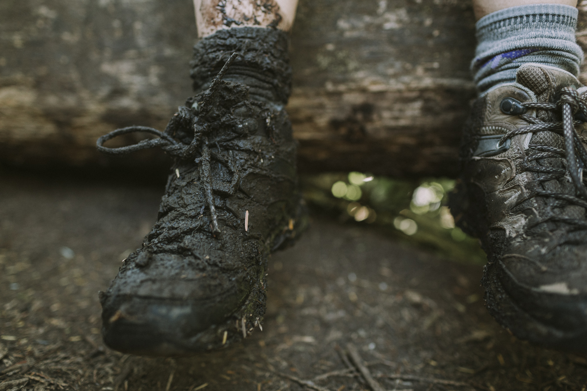
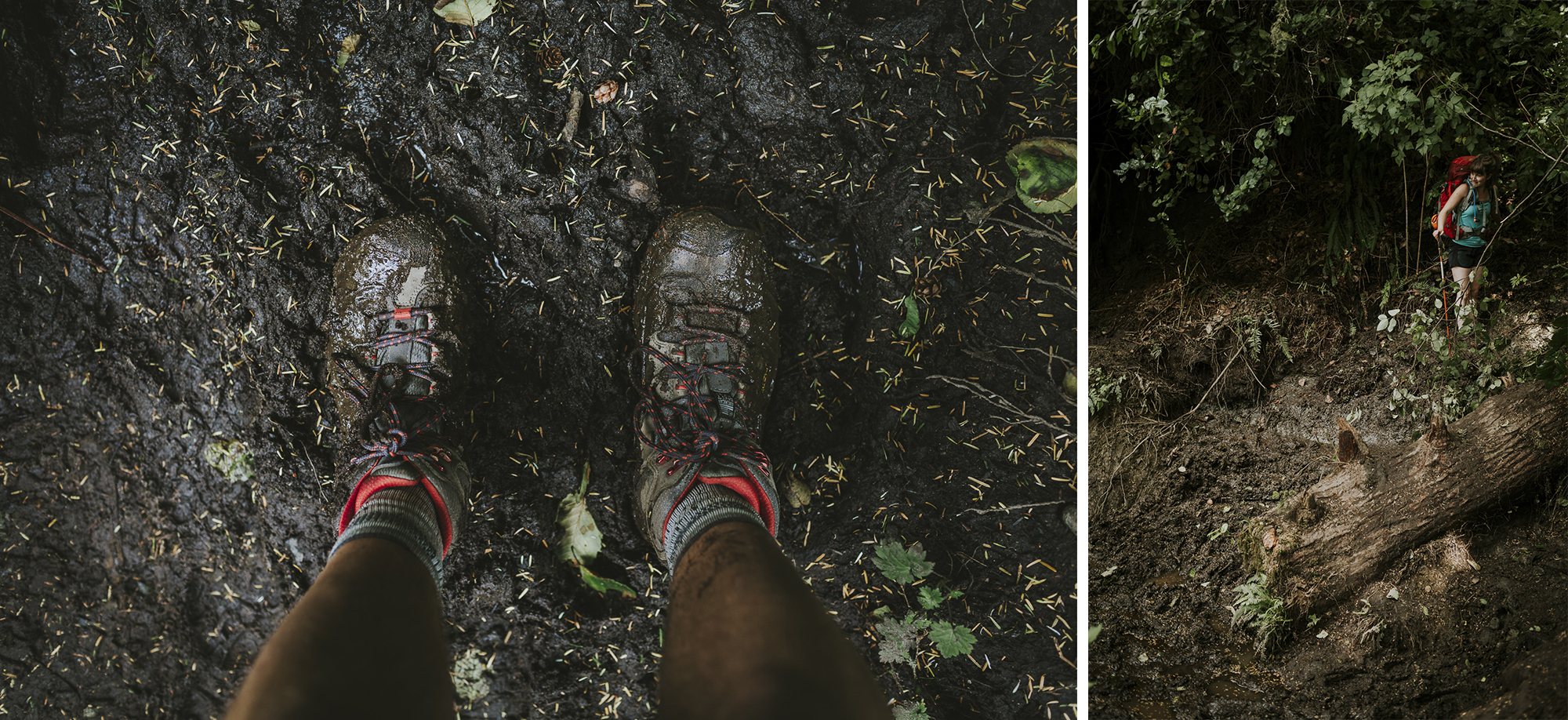
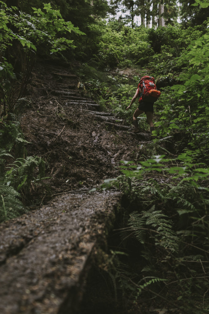
The Juan De Fuca Trail can best be described as “down and up and mud, mud, mud.” Fortunately for us the trail was fairly dry and the weather was clear, warm and sunny. No complaints here.
Day 3: Chin Beach to Bear Beach (12 km)
Optional Add On: Bear Beach to Mystic Beach to China Beach (9 km)
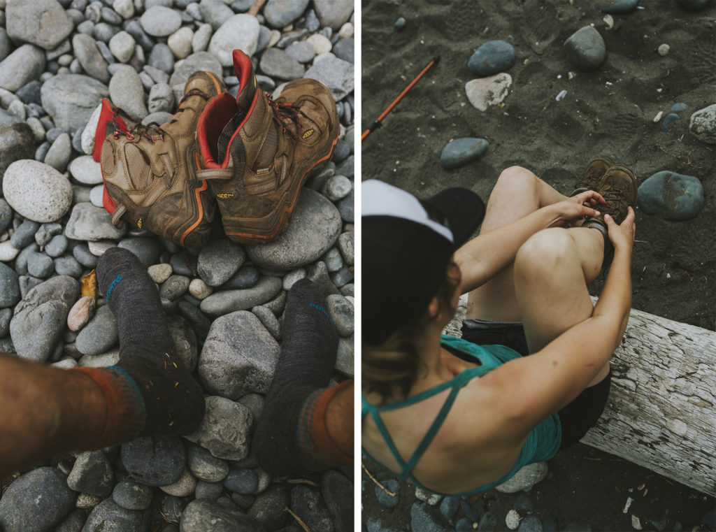
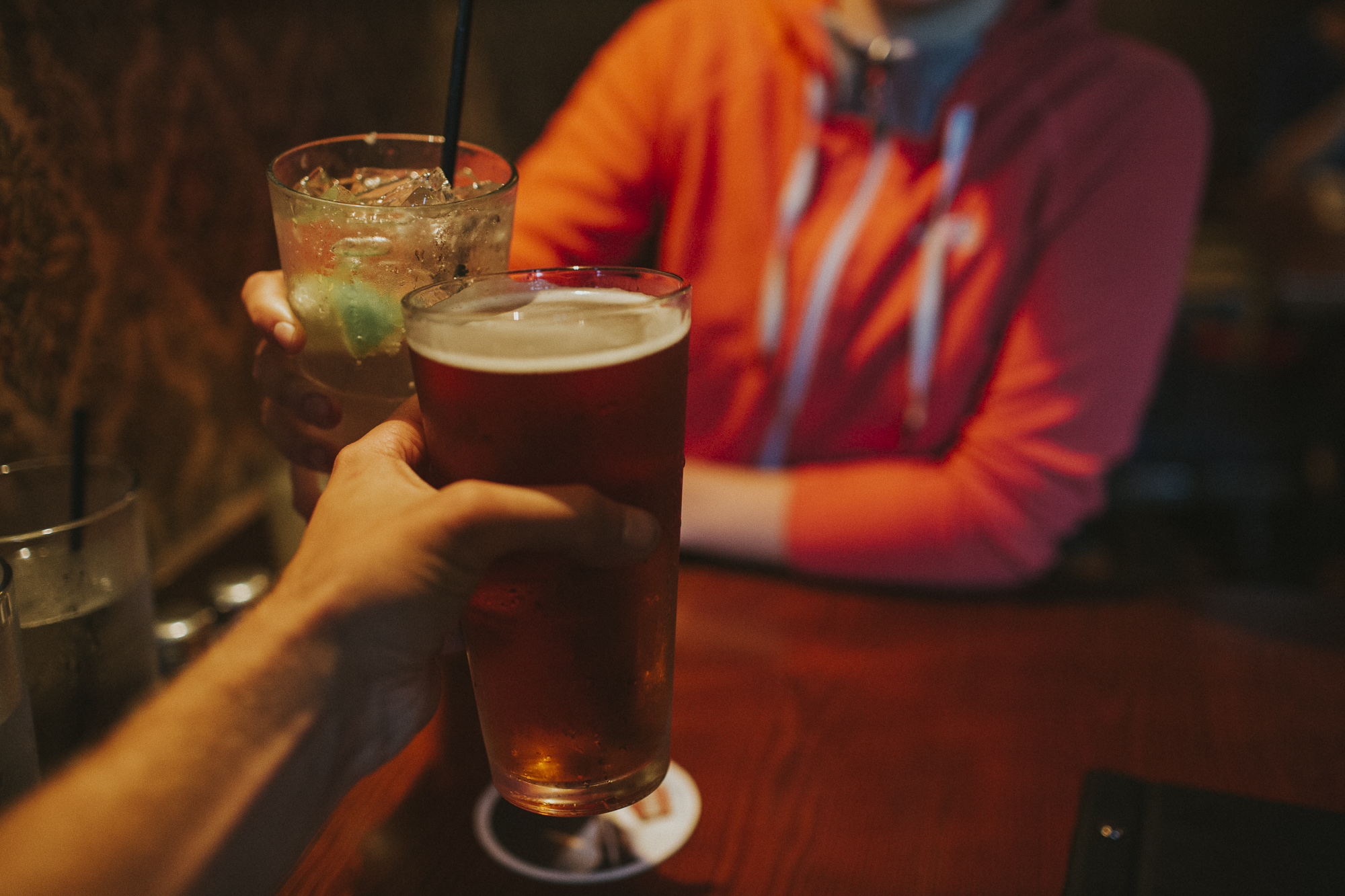
Weather started closing in, so we gave in to temptation and completed the final 21 kilometres in one day. Maybe we were crazy, but the burger and brew at the 17-Mile House Pub, a shower and warm, dry bed made up for a long day on the trail.
Final Thoughts
The Juan De Fuca Trail was beautiful. We were very lucky to have hiked the trail in the summer after a rare spell of dry weather. One nice thing about this trail is that there are multiple entry/exit points, so you can do as little or as much of the trail as you want. The Juan De Fuca Trail could possibly be a good alternative to the West Coast Trail (although we haven’t done it) as the Juan De Fuca does not require a park pass, a permit, and is less busy overall.
Eager to hike the Juan De Fuca Trail?
Click below to pin to your Pinterest Board!
Thanks or the share, just what i needed today! Beauty and positivity, especially after the patients i had this morning.
Very Cool- Thank You for putting the time in to share this.