What are our top five day hikes in the Canadian Rockies? It’s hard to go wrong with any hike in Canmore, Banff, or Kananaskis Country, but these are our favourites. We use AllTrails for up-to-date information on the trail conditions, trail closures due to bears, and directions to the trailhead, so we added a direct link to each hike so you don’t have to go searching for it.
Mount Smutwood
AllTrails – Mount Smutwood Hike Details
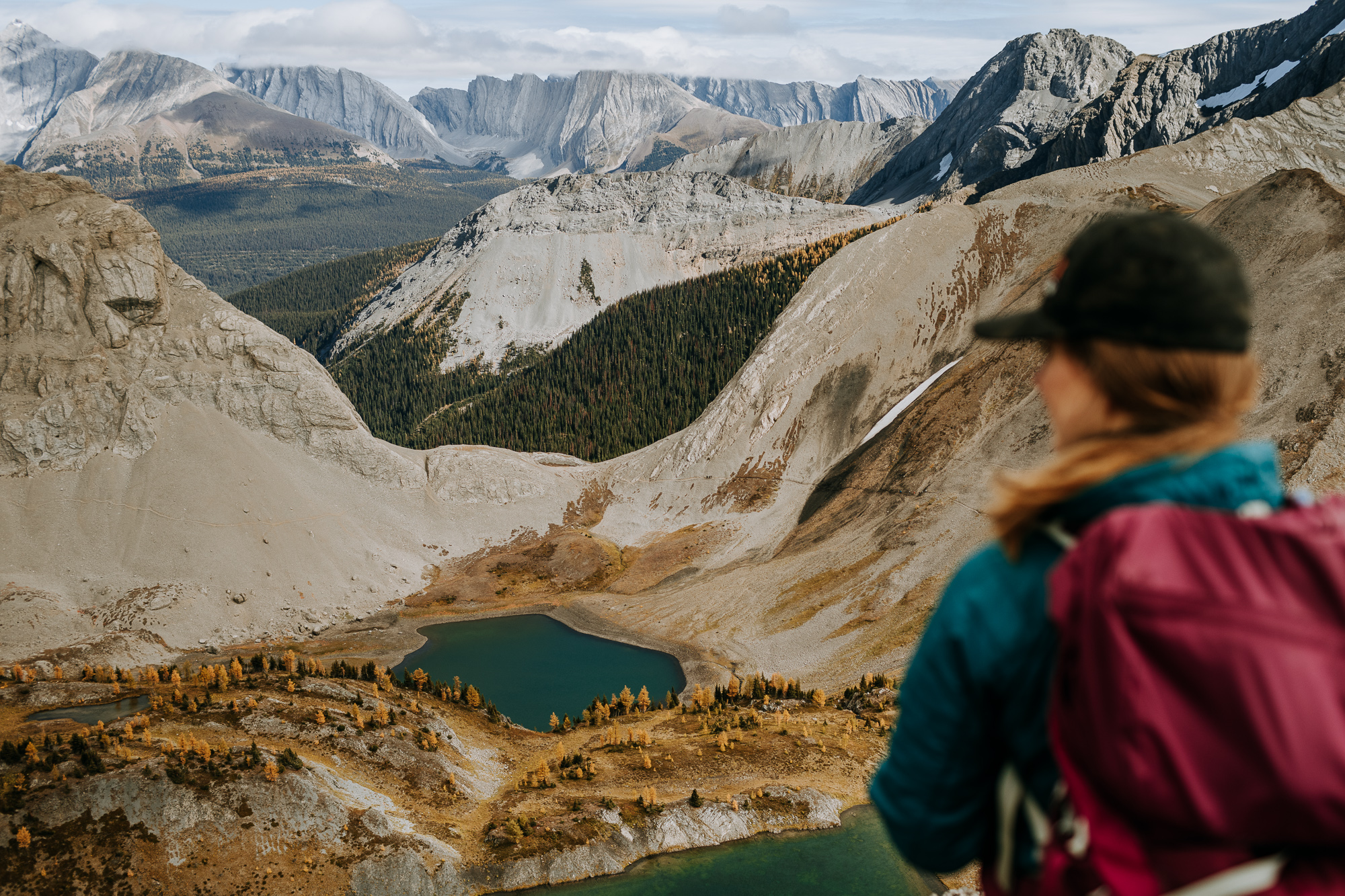
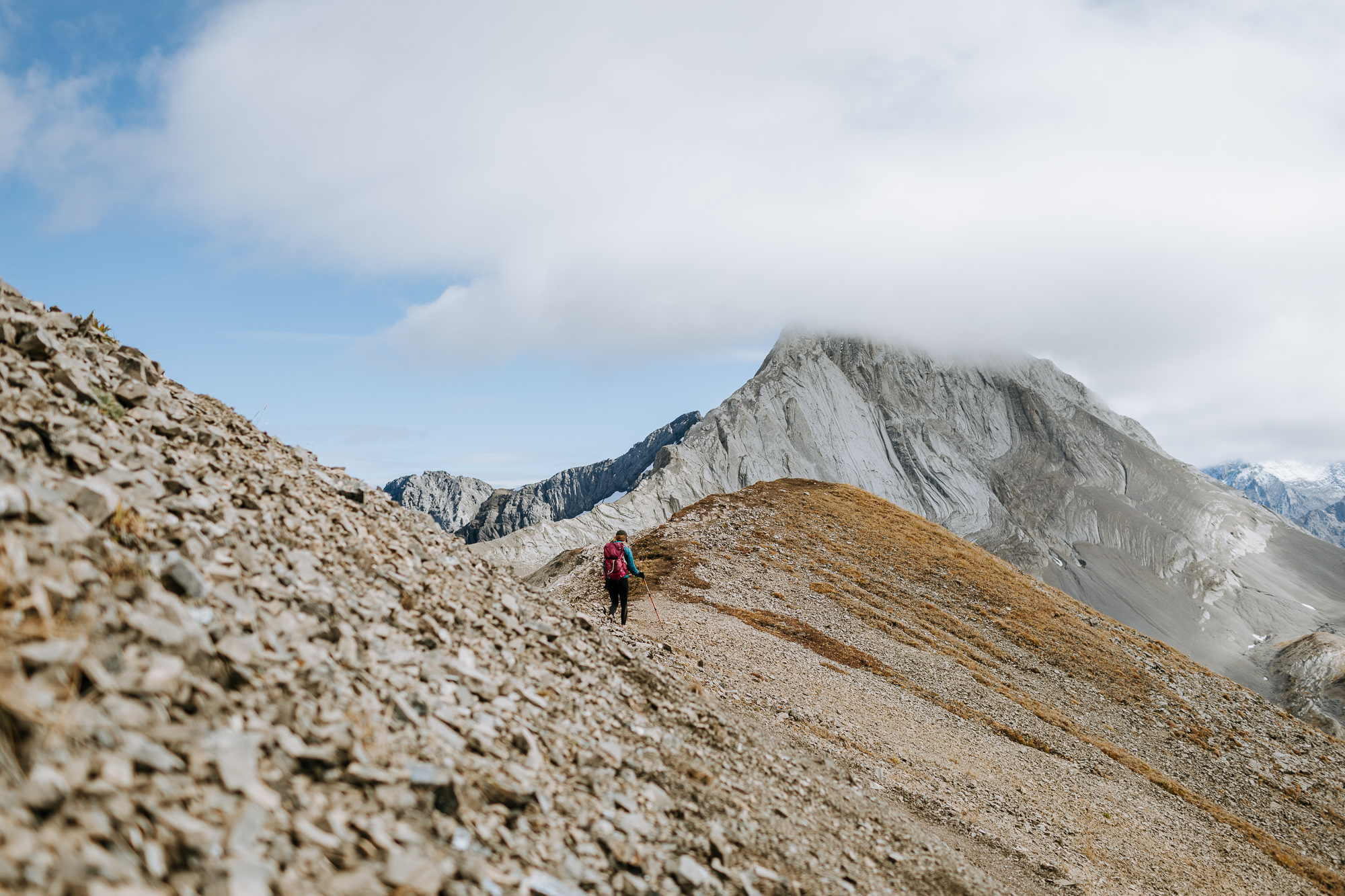
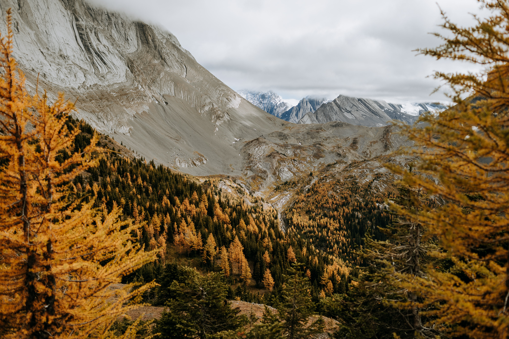
Mount Smutwood held the title of our favourite hike in the Canmore area for a very long time. The long, gradual hike takes you through the forest, along a river, across a meadow, and eventually, up and out of the tree line before peaking out with seemingly endless mountain views. Our biased opinion recommends hiking in the fall when the larches are changing colour. Our only grizzly sighting while hiking was on this trail so don’t forget the bear spray.
Distance: 17.9km, Elevation Gain: 961m
Tent Ridge
AllTrails – Tent Ridge Hike Details
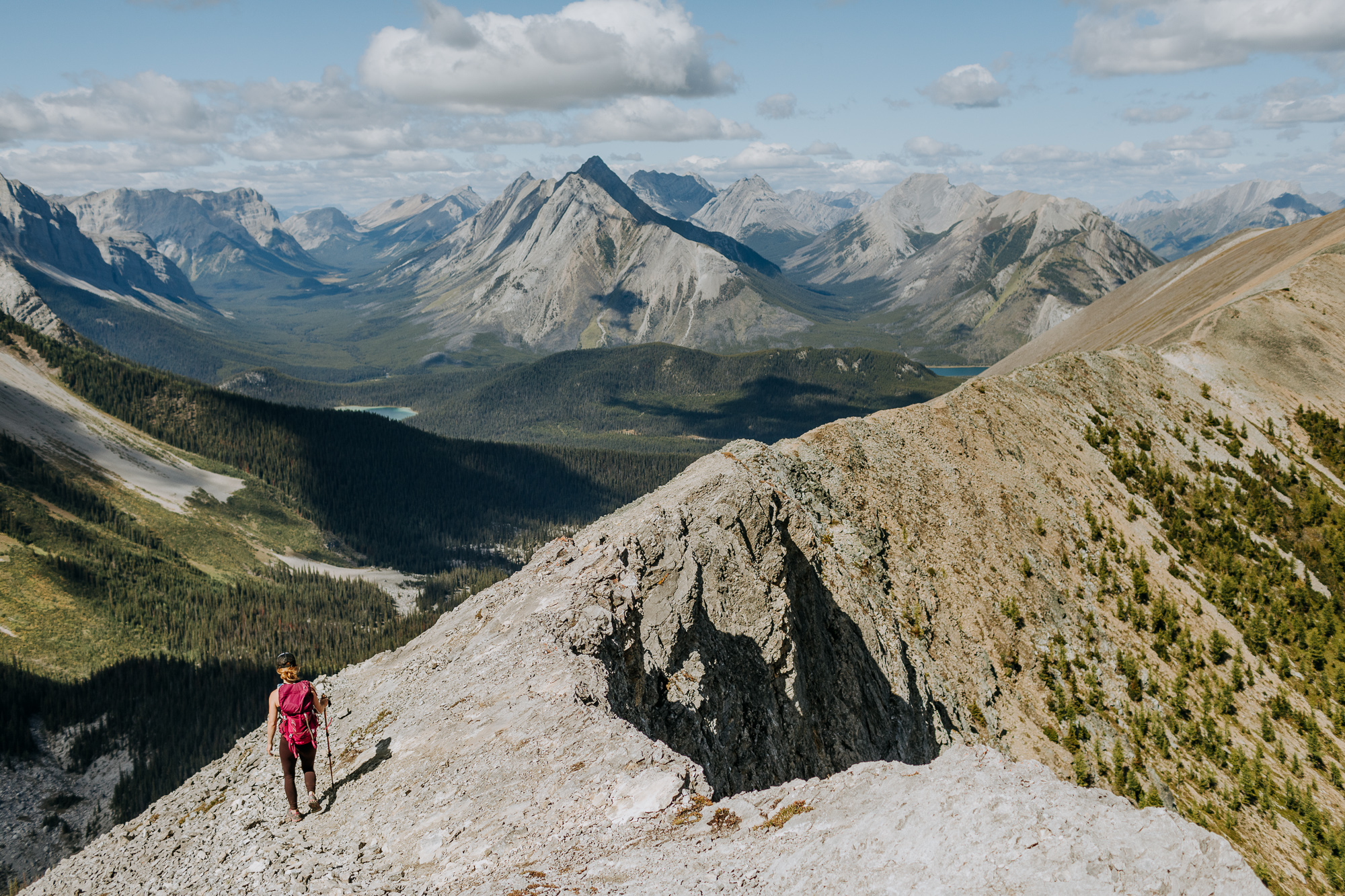
The drive to the trailhead along Spray Lakes Road alone is well worth it. Big horn sheep regularly wander the roads and ragged peaks are found in every direction. Once you actually put boots on the trail, epic views follow your jaunt along this horseshoe-shaped ridge.
Distance: 10km, Elevation: 831m
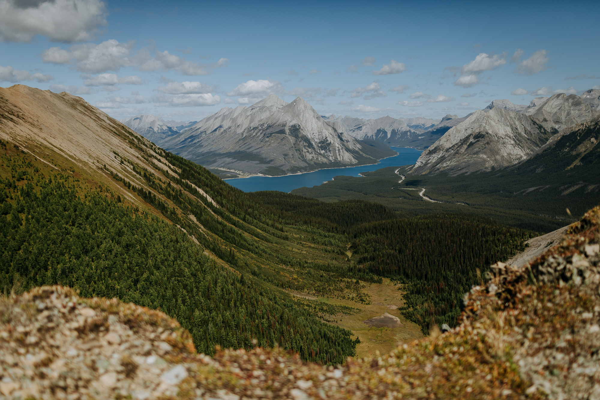
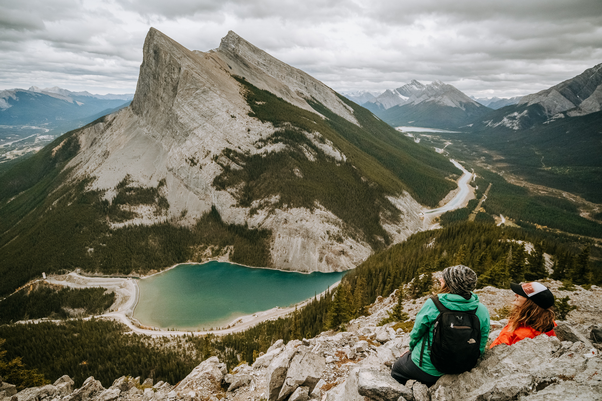
EEOR – East End of Rundle
The proximity of the trailhead to Canmore is one of the best attributes of this hike. The views are a close second.
Distance: 5.8km, Elevation Gain: 870m
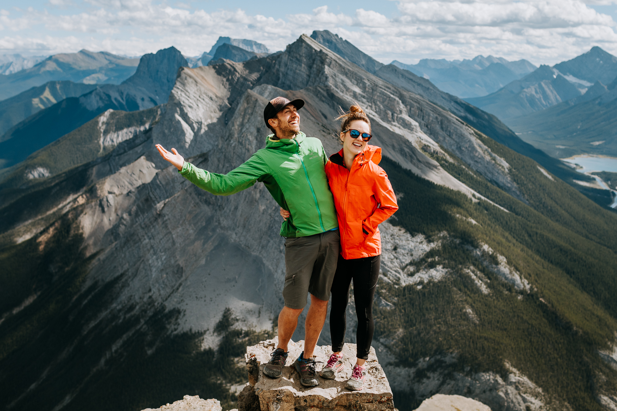
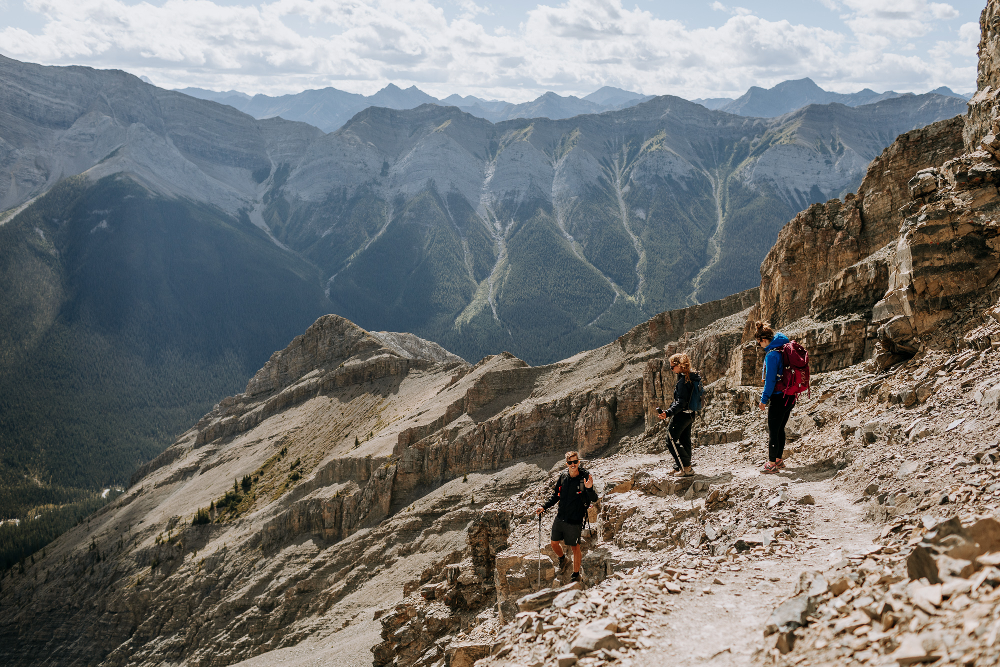
If you only have a short amount of time and still want to see great views of Canmore and Ha Ling Peak, the hour-long hike to a lookout (partway up EEOR) is a great option.
Sentinal Pass via Larch Valley
AllTrails Sentinal Pass via Larch Valley Details
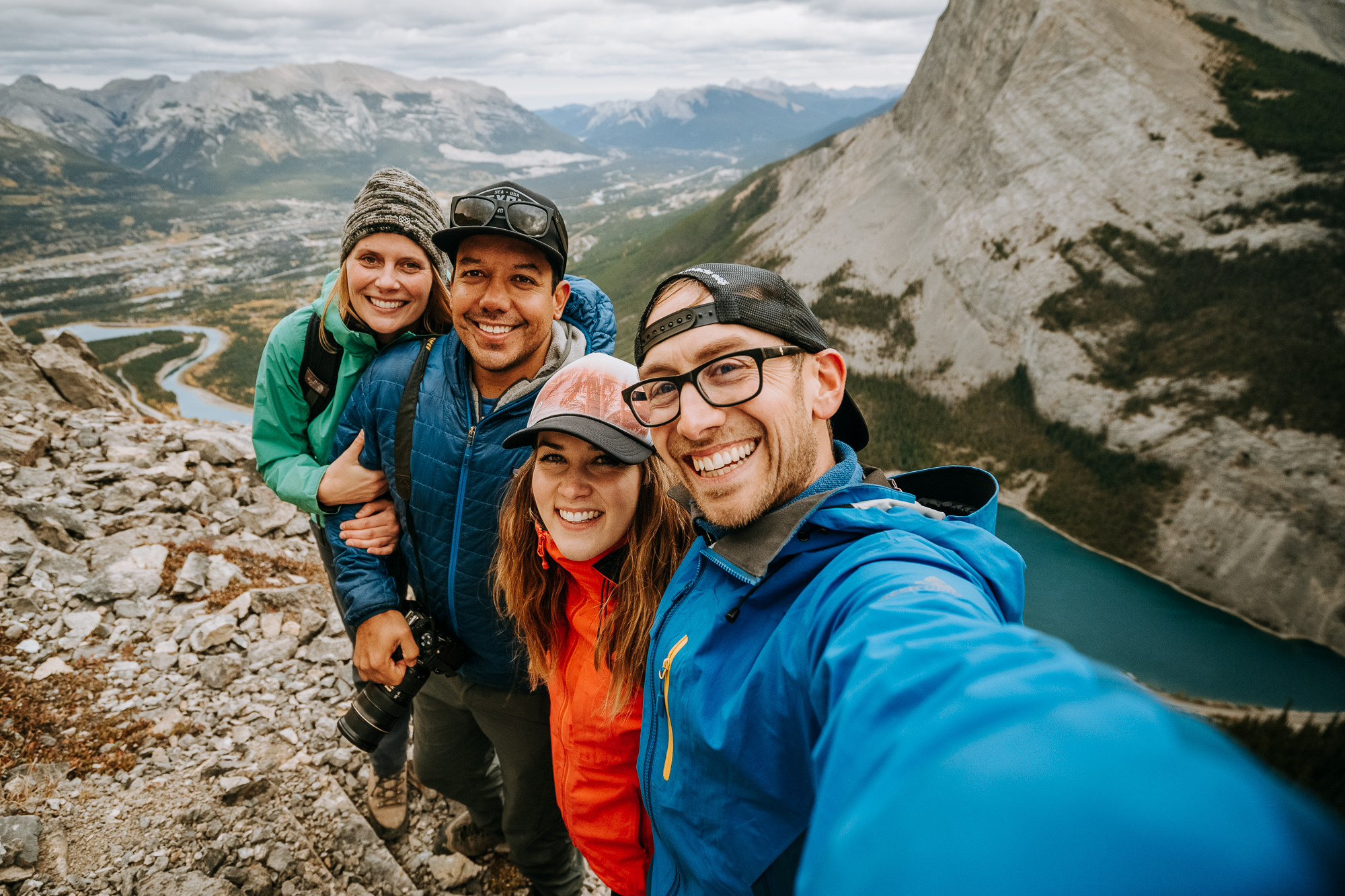
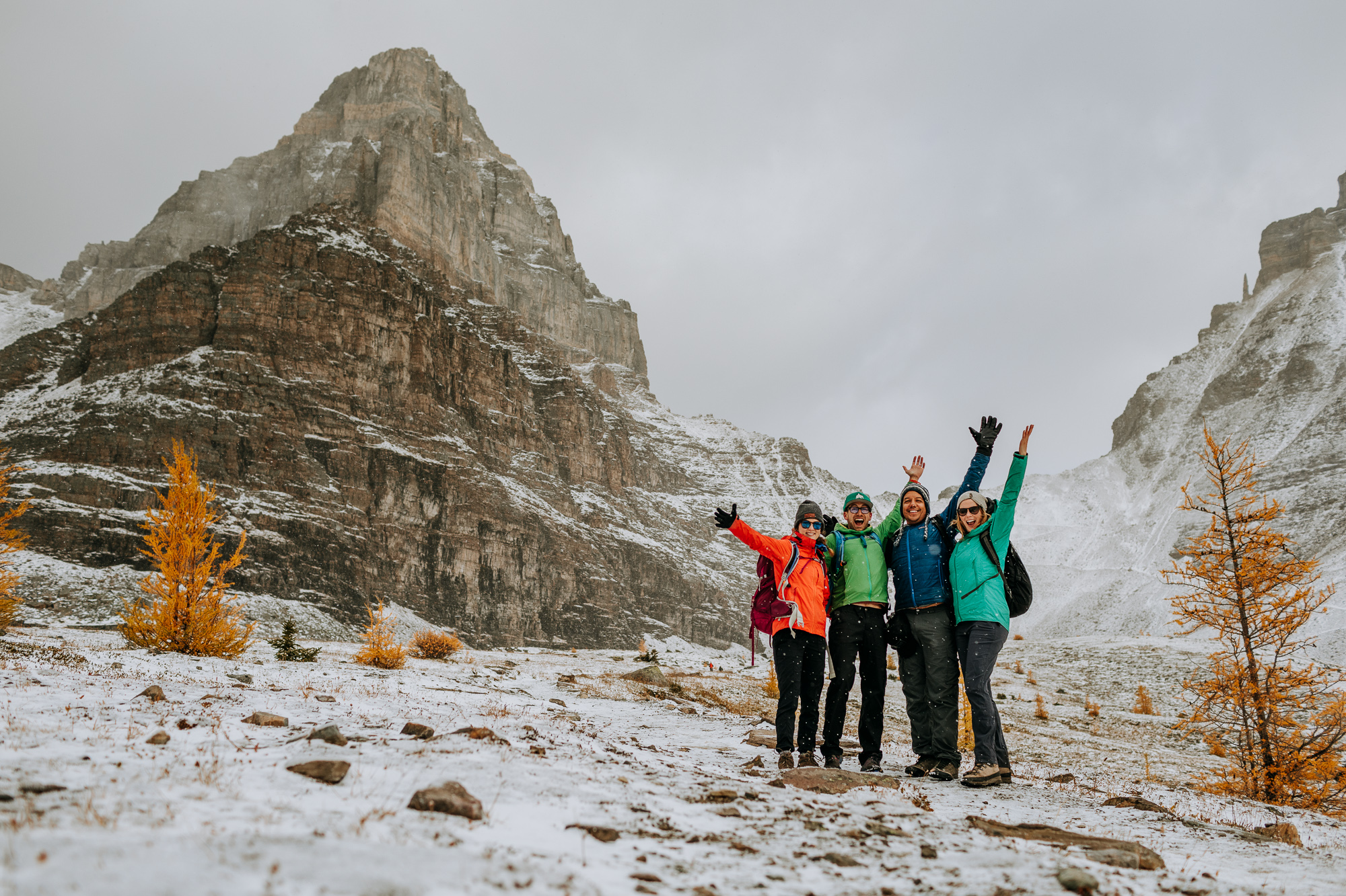
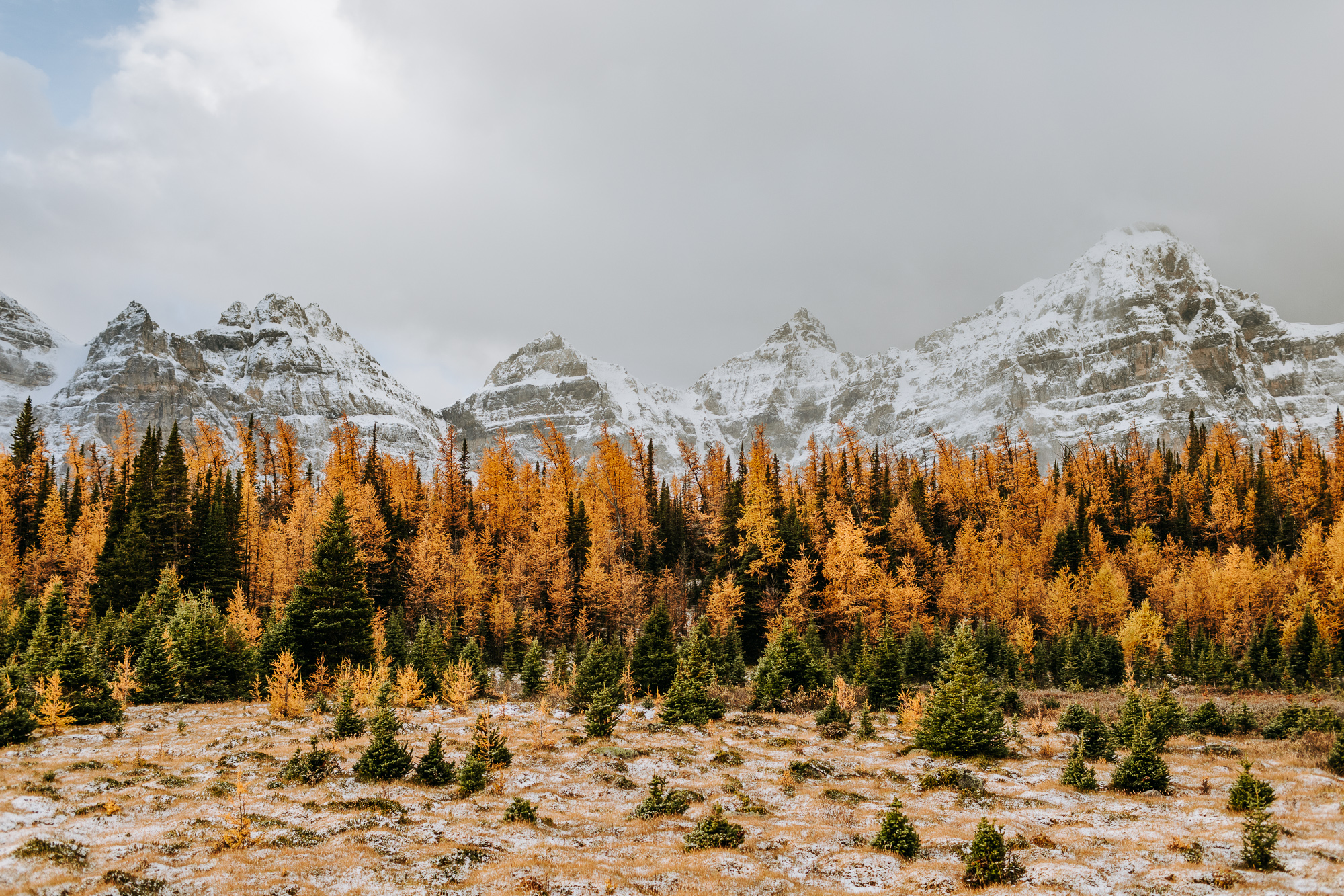
The fact that you start and end this hike at beautiful Moraine Lake is enough to put it on this list. We highly recommended Larch Valley during “larch season” (duh) as seen in the photos below. Be aware that the parking lot at Moraine Lake can fill up very early. We arrived in the dark at 6:45am and claimed the last parking spot.
Distance: 10.9km, Elevation Gain: 792m
Black Rock Mountain
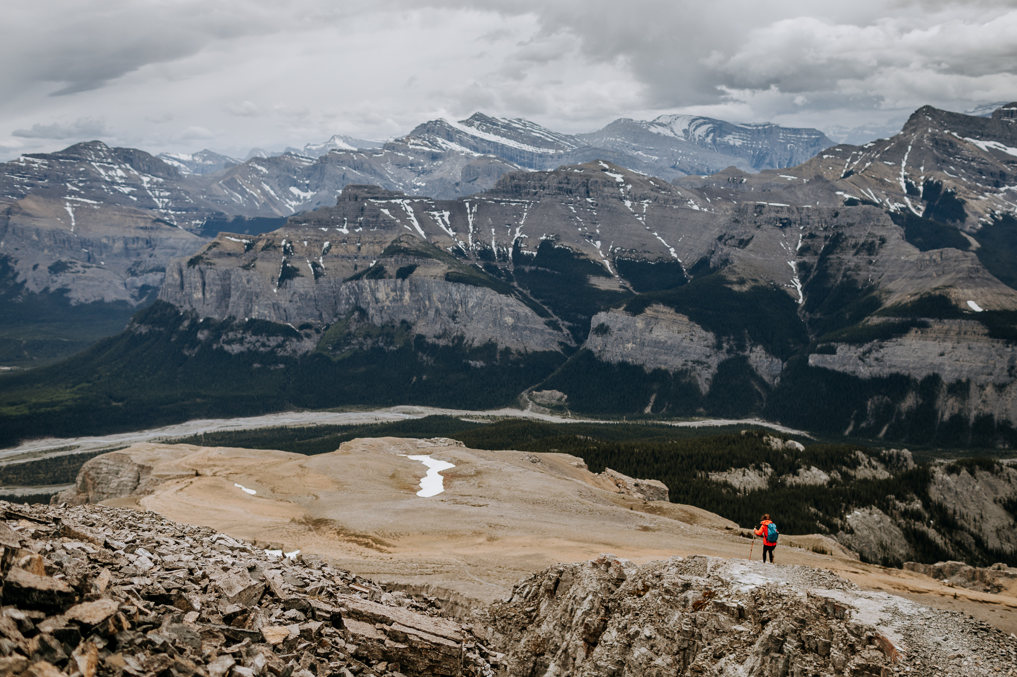
Like many of these hikes, the views on the drive to the trailhead are spectacular. In this case, they’re best once you hit the riverbed in the Ghost PLUZ. The Black Rock Mountain hike begins a few kilometers up the Ghost riverbed, but any 4×4 with decent clearance shouldn’t have a problem reaching the trailhead. If you’d like, you can park at the river and easily walk the additional distance.
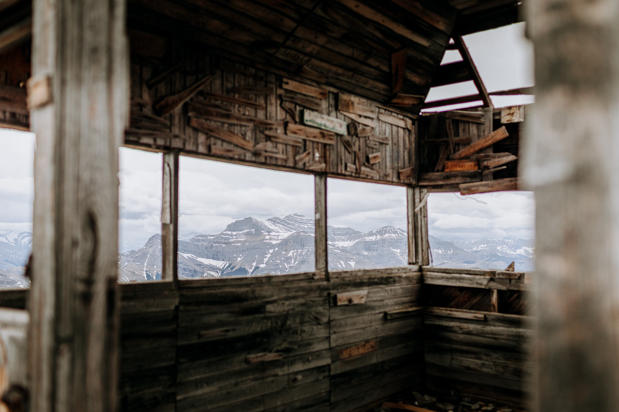
The abandoned fire lookout at the top is the perfect place to sit down and eat a packed lunch. We’ve been getting fancy with the hard cheese, peppered salami, crackers, and olives lately. It’s amazing how good that tastes after 800-1000m of elevation gain.
From 1928 to 1950, this lookout in the Ghost River area was used by the Canadian Forest Service. Fires were reported by radio and located by triangulation from two or more lookouts. Apparently the elevation (at 2463 metres) at which the lookout was built was a hindrance, as stormy weather frequently obscured the view. Intense winds didn’t help either – the cabin had to be tethered to the mountain with steel cables. Today the lookout makes for a fun lunch spot on a great little off-the-beaten-track hike.
Distance: 10.9km, Elevation Gain: 983m
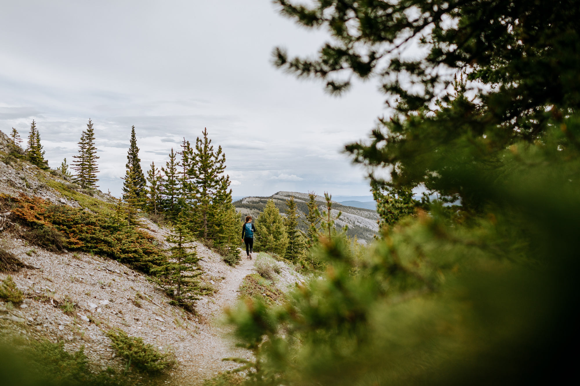
What We Pack For a Day Hike
Generally, what we carry on a day hike don’t change much, but we’ll add more food/water for longer hikes, and warmer clothes/microspikes for winter hikes. Happy hiking!
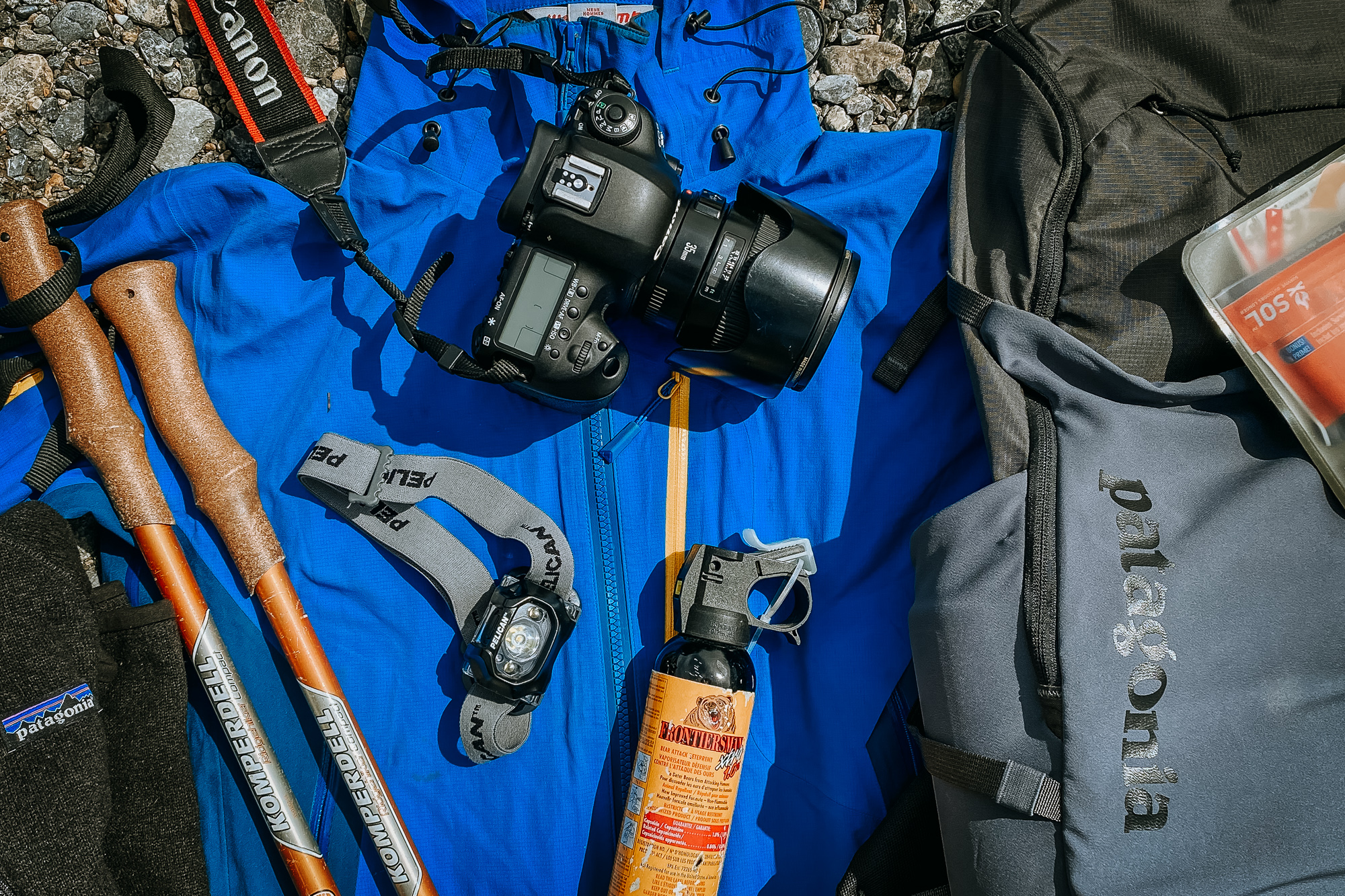
Patagonia Nine Trails 20L Day Pack
Arcteryx Atom LT Hoody (Both of us have a version of this)
WestComb Shift LT Rain Shell (Avatar Blue) – Richard
WestComb Copa Rain Shell (True Red) – Ashley
Nalgene Water Bottle (Each of us carry one)
Canon 5D Mark IV camera and 35mm f1.4 Lens
Check out our Complete Overlanding Gear List for our backpacking and truck camping gear lists.
Quick disclaimer! Some of the links above are affiliate links. The retail price remains the same, but we make a small commission.
