This post was drafted almost THREE YEARS AGO! I guess our motivation for blogging dropped once we settled into a stationary life at home. Over the next several weeks we’re going back in time to finish up our cross-Canada tour, landing back in British Columbia.
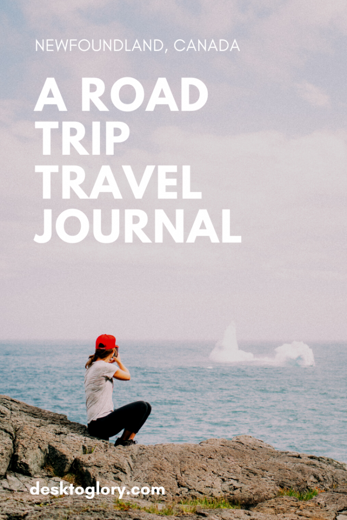
But more about that later… let’s head back to summer 2016 and recap our trip through Newfoundland and Labrador, including the Trans-Labrador Highway.
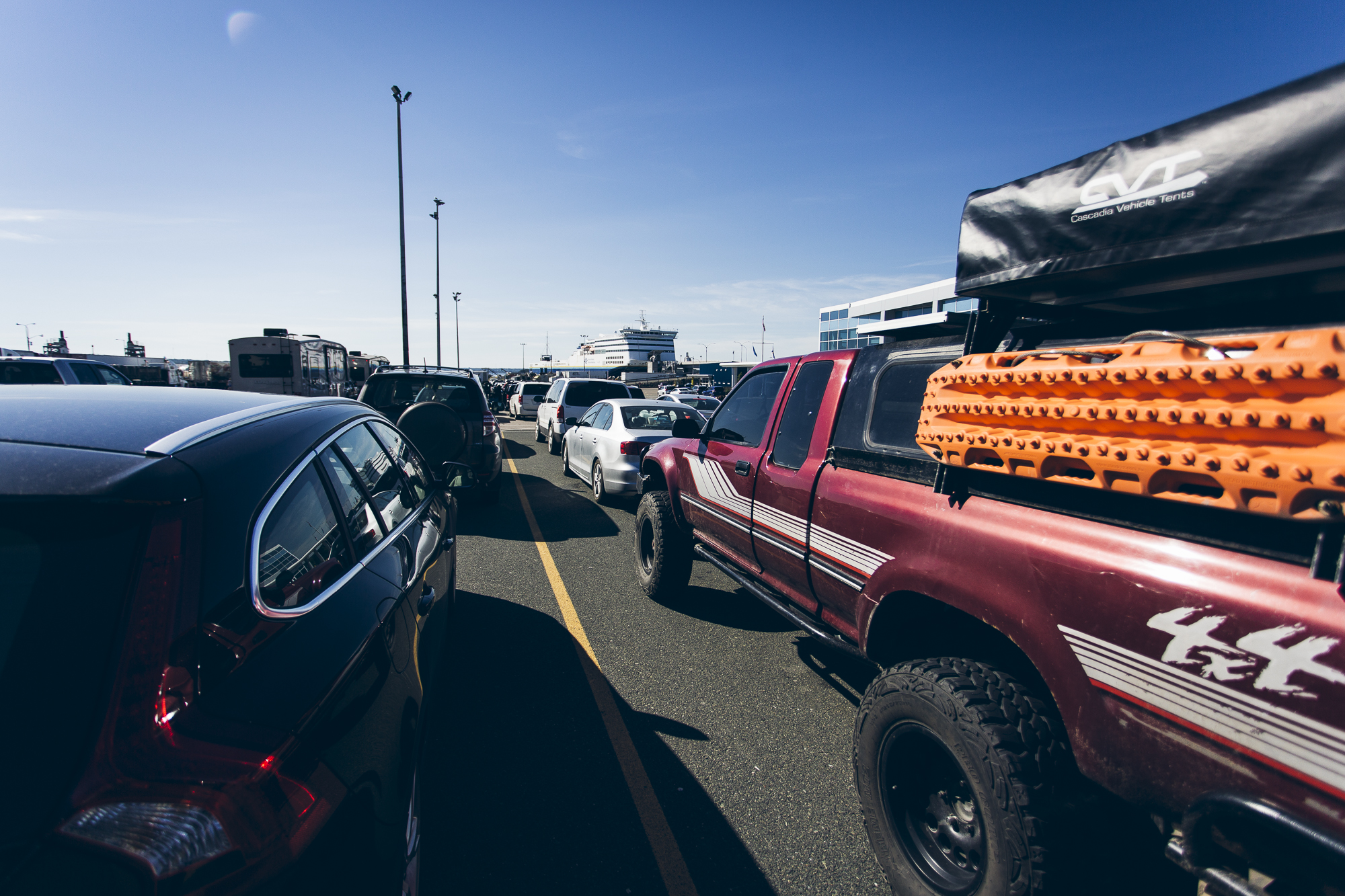
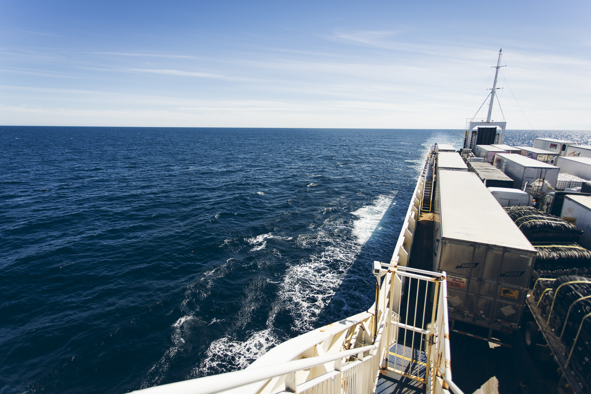
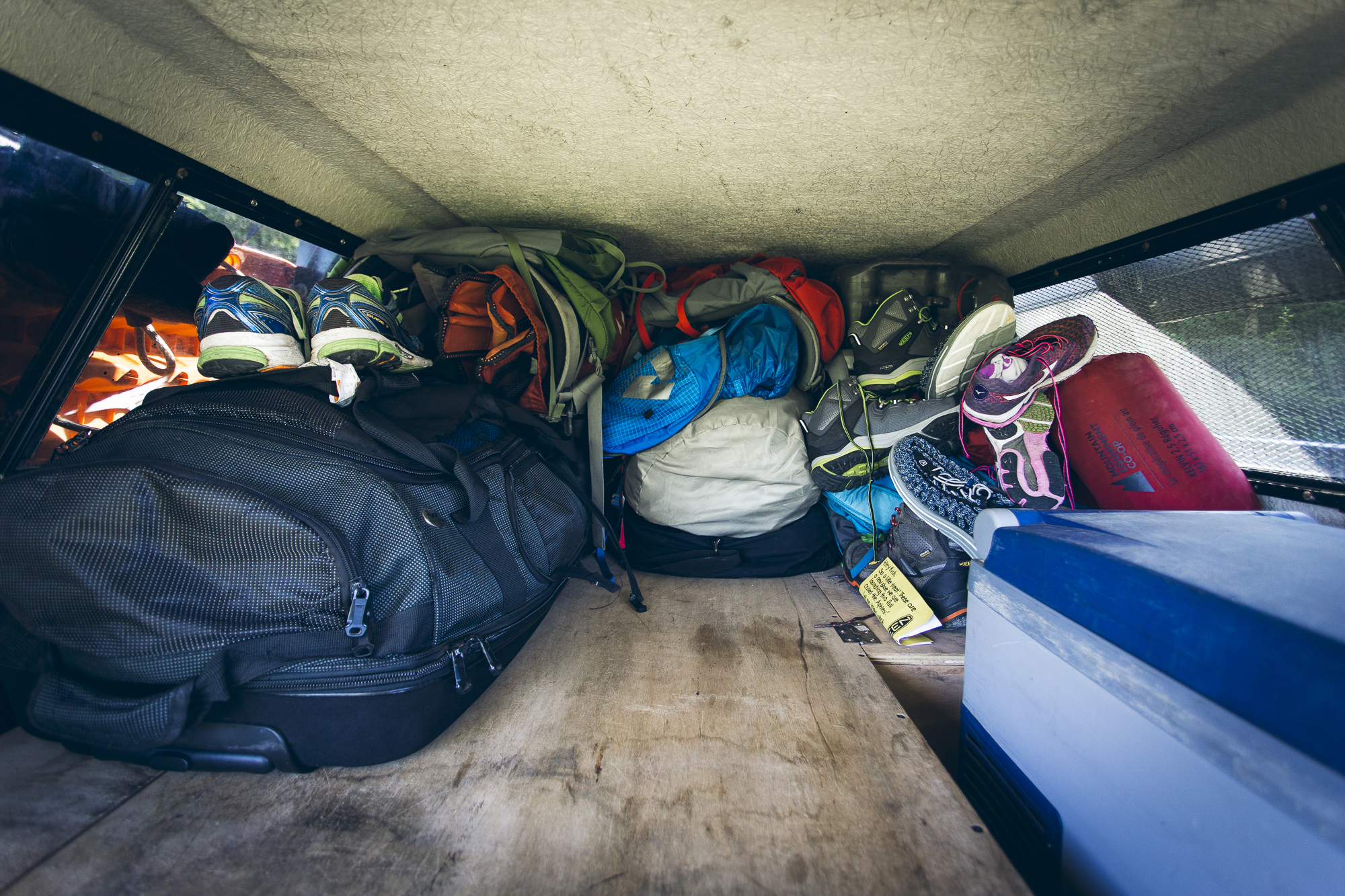
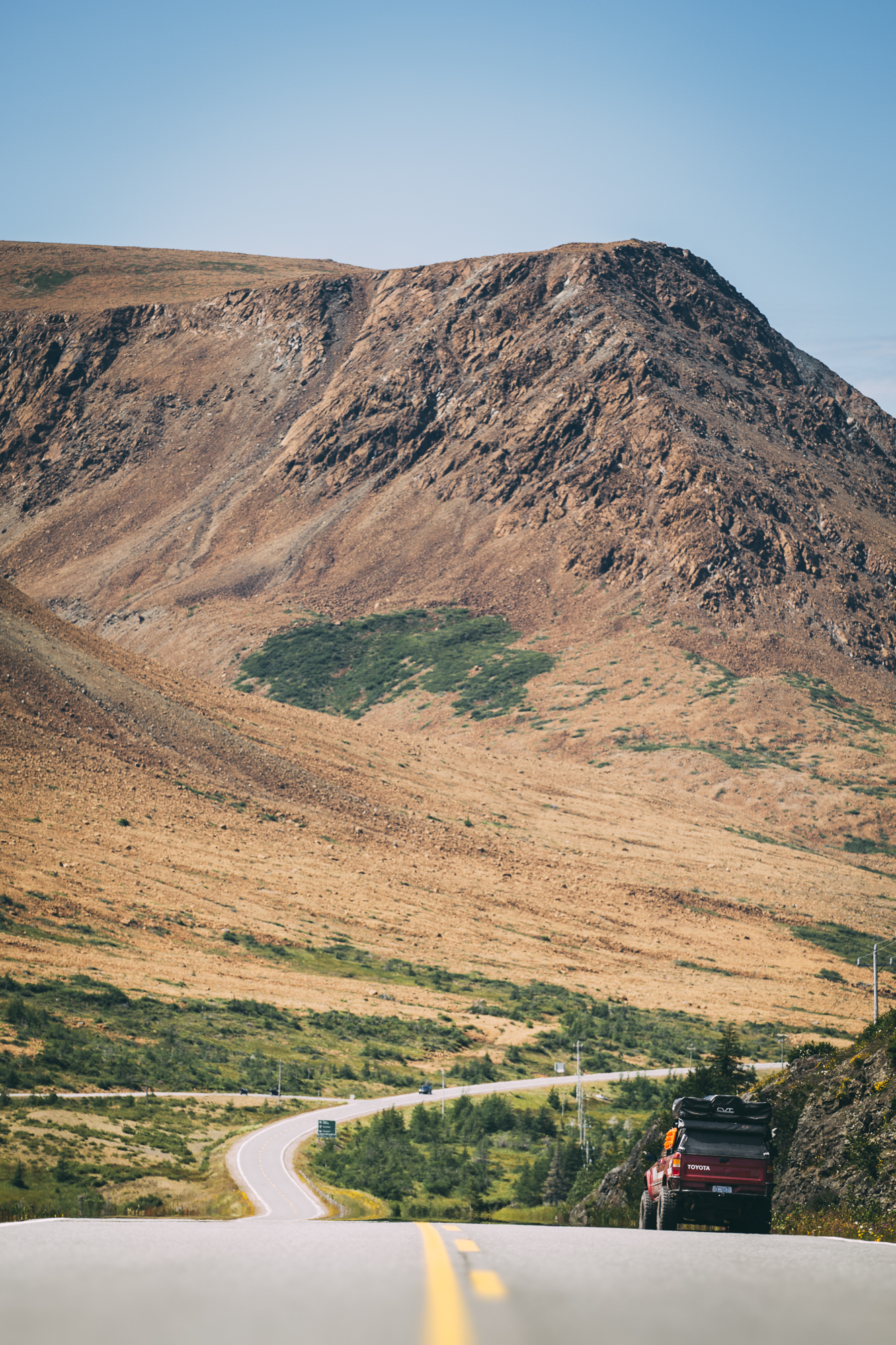
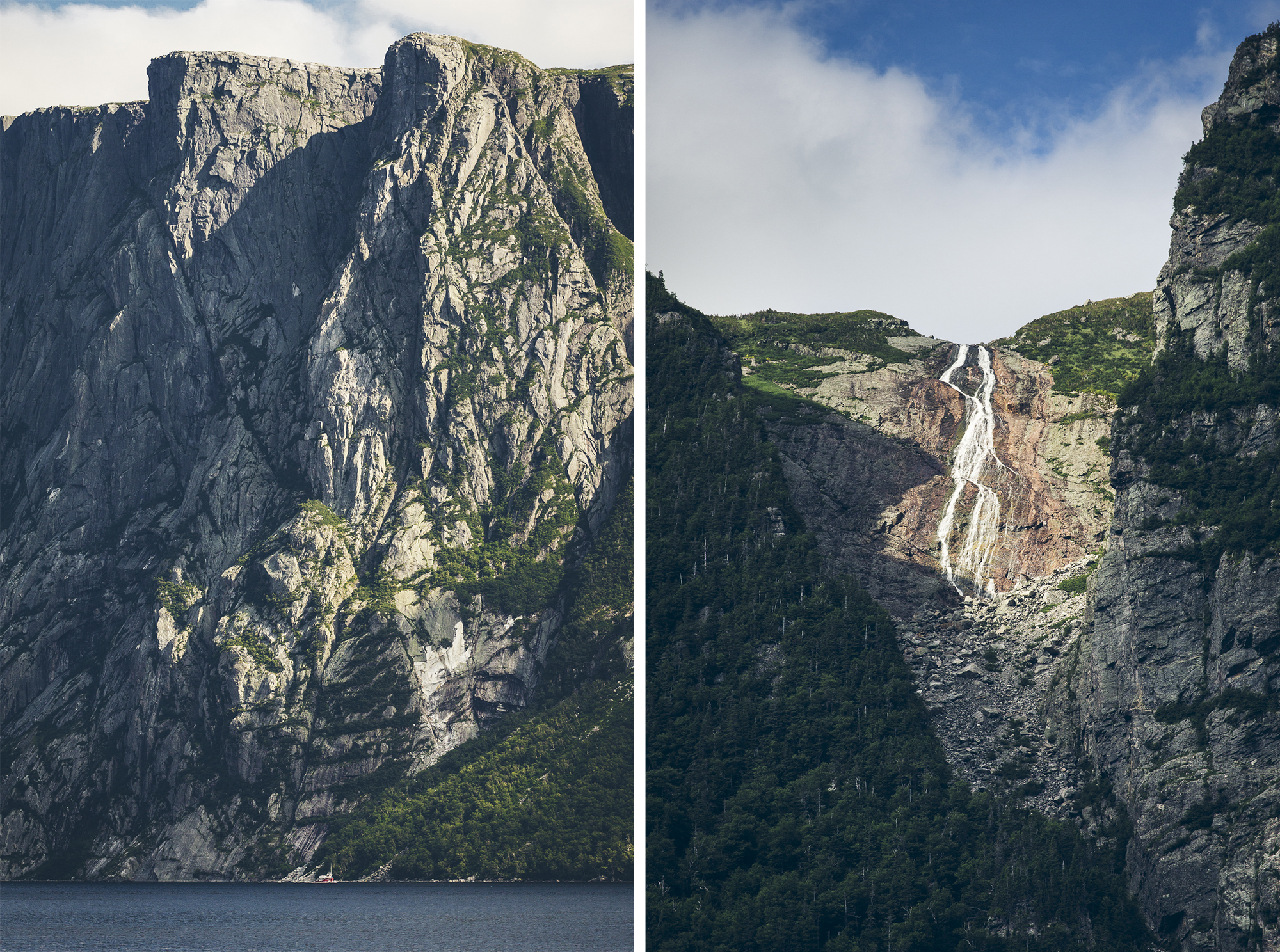
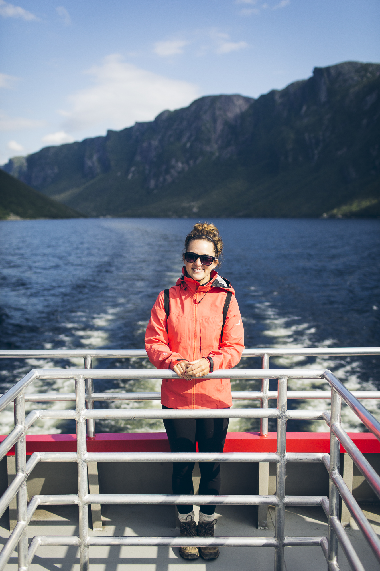
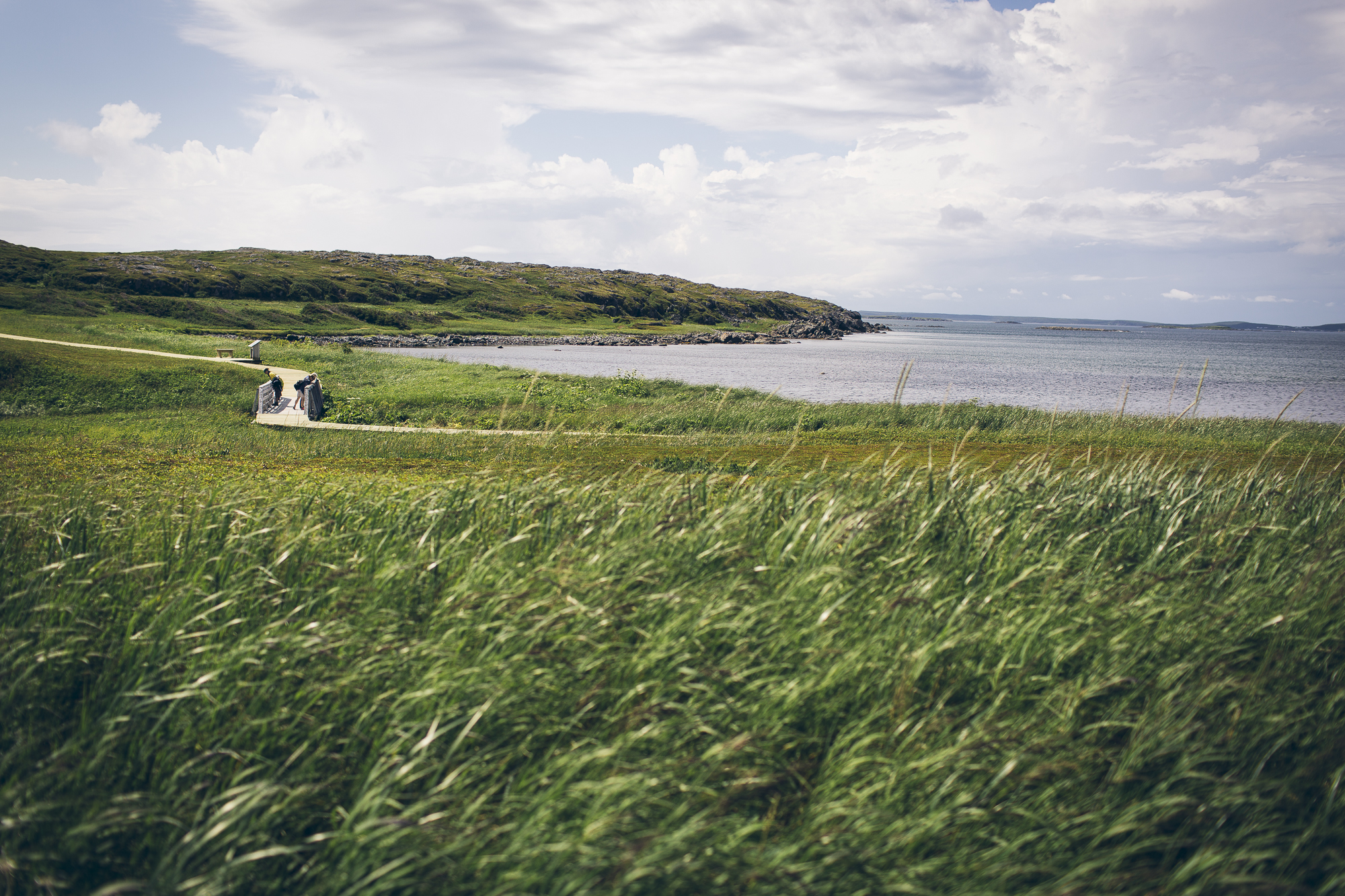
Welcome to Newfoundland! After a six hour ferry and an additional four hours of driving we made it to Gros Morne National Park.
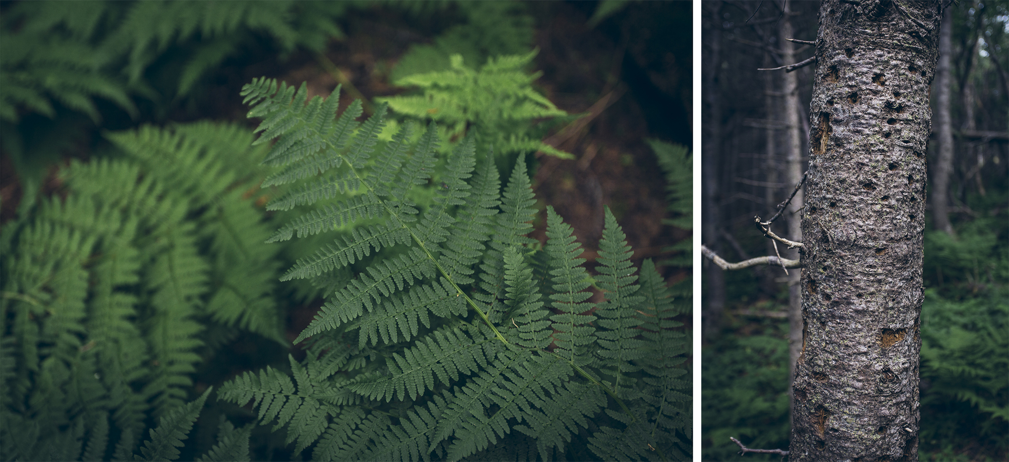
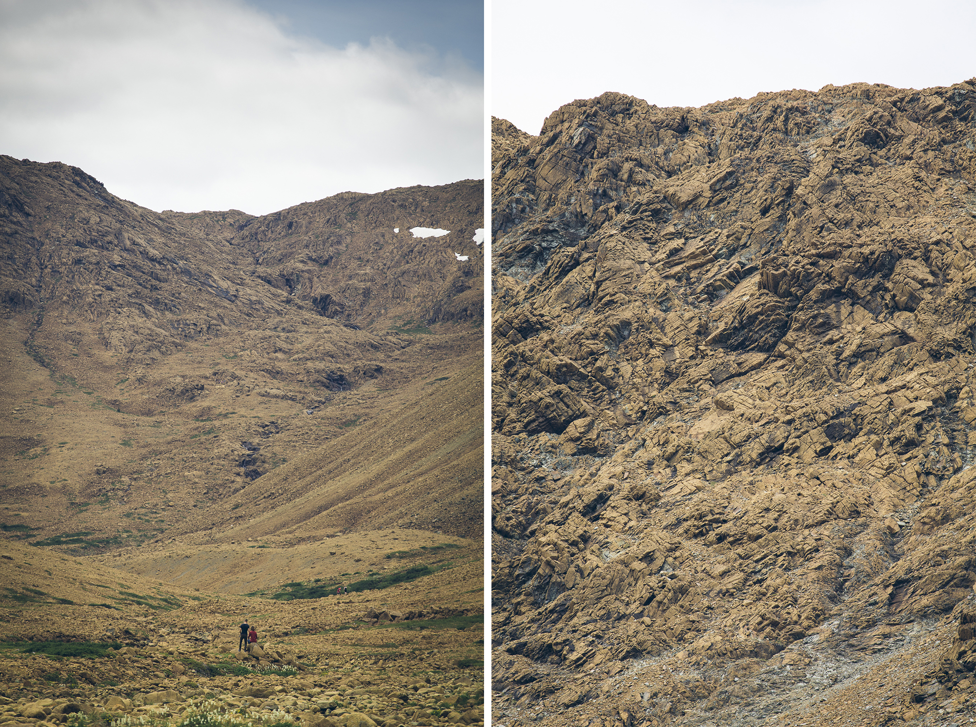
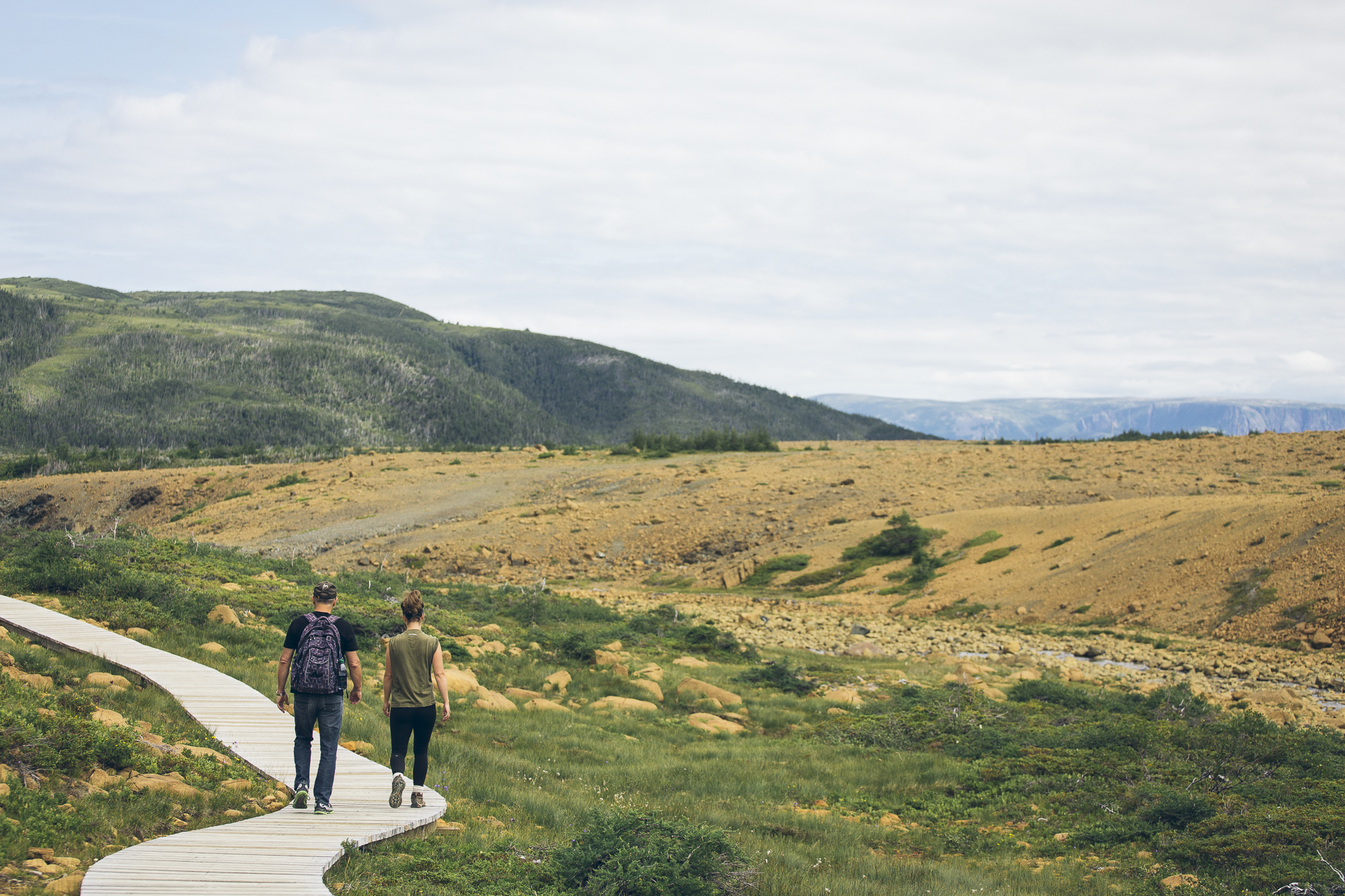
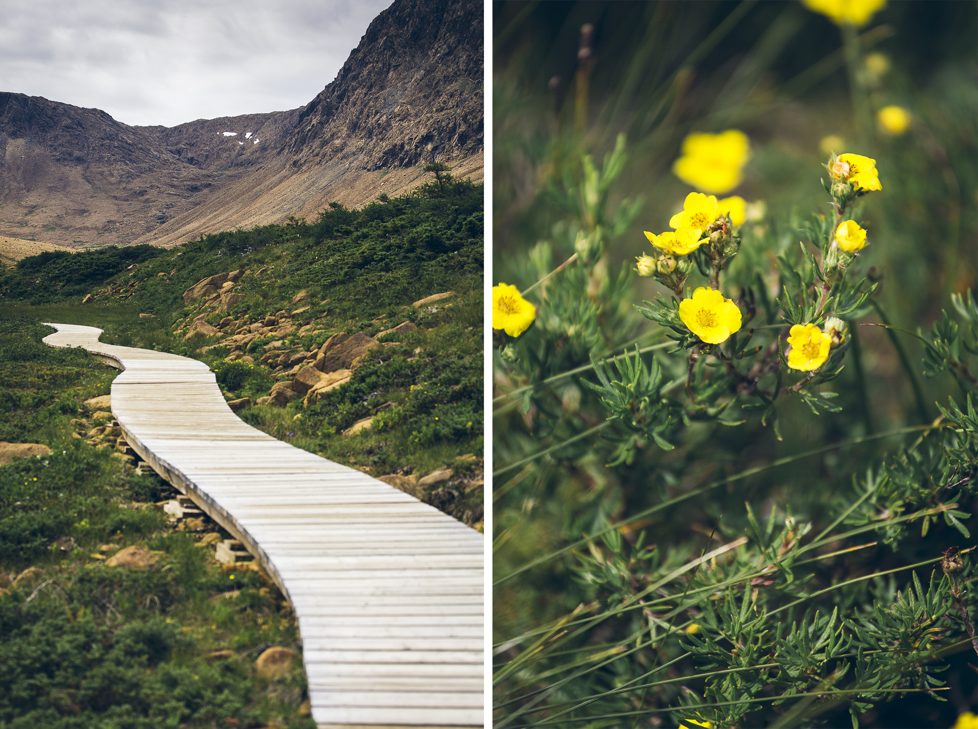
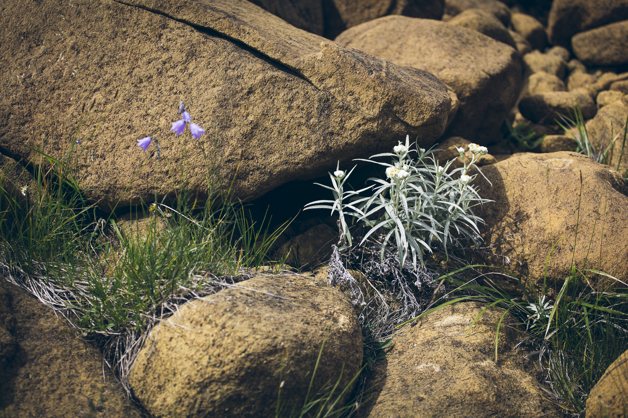
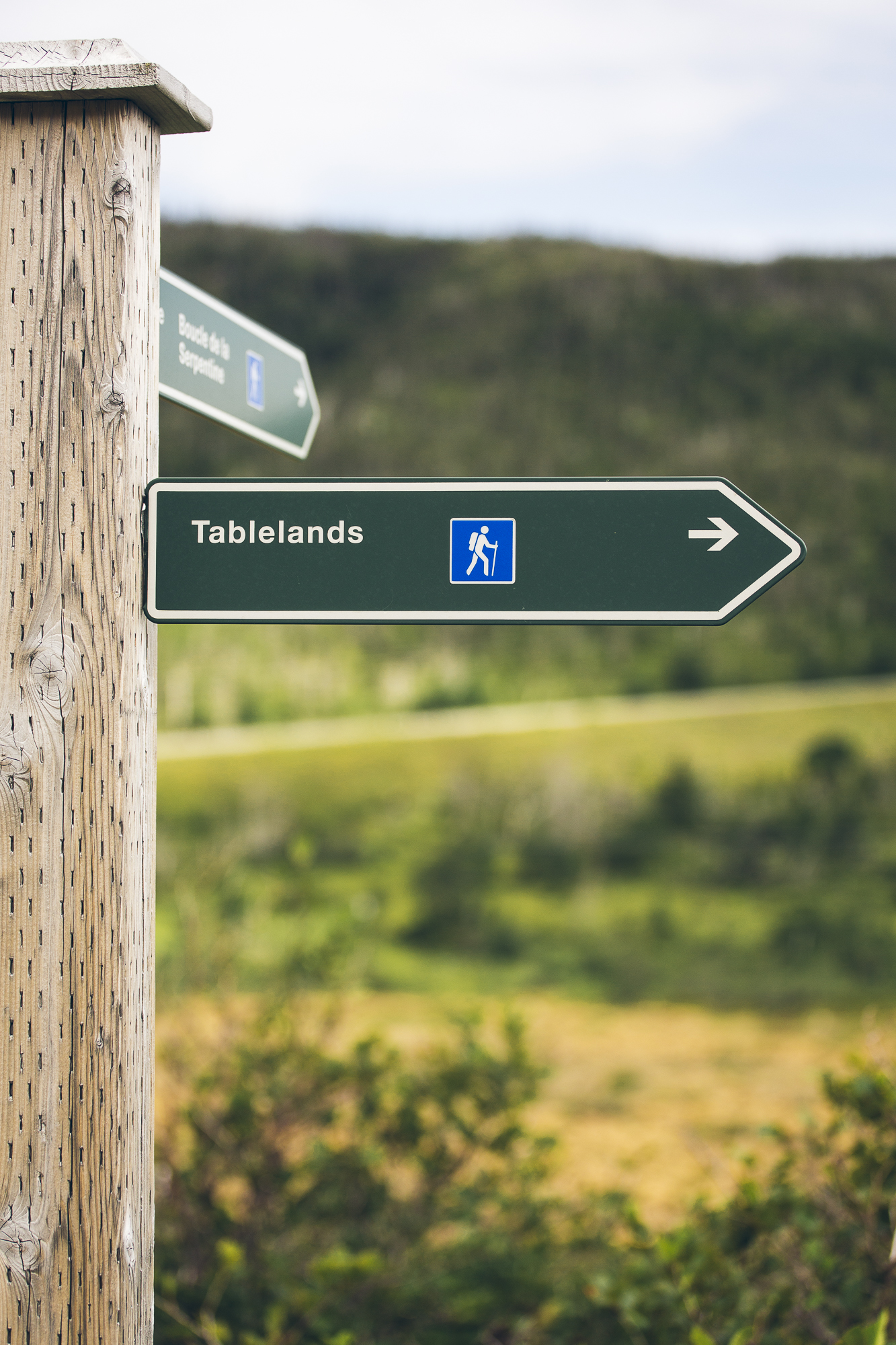
Tablelands towered over us in the distance and reminded us of something we would expect to see in Utah, not eastern Canada. Time to explore!
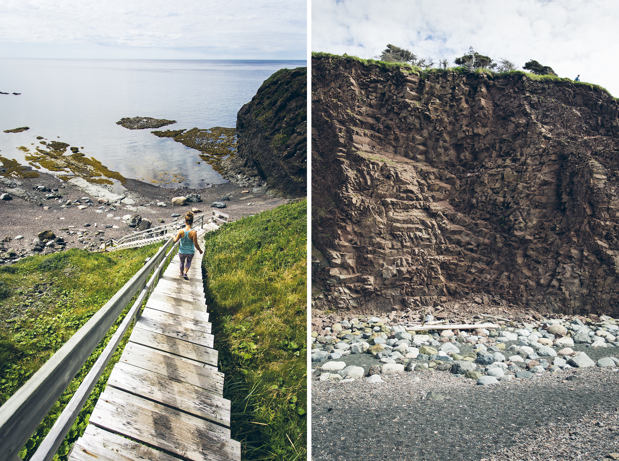
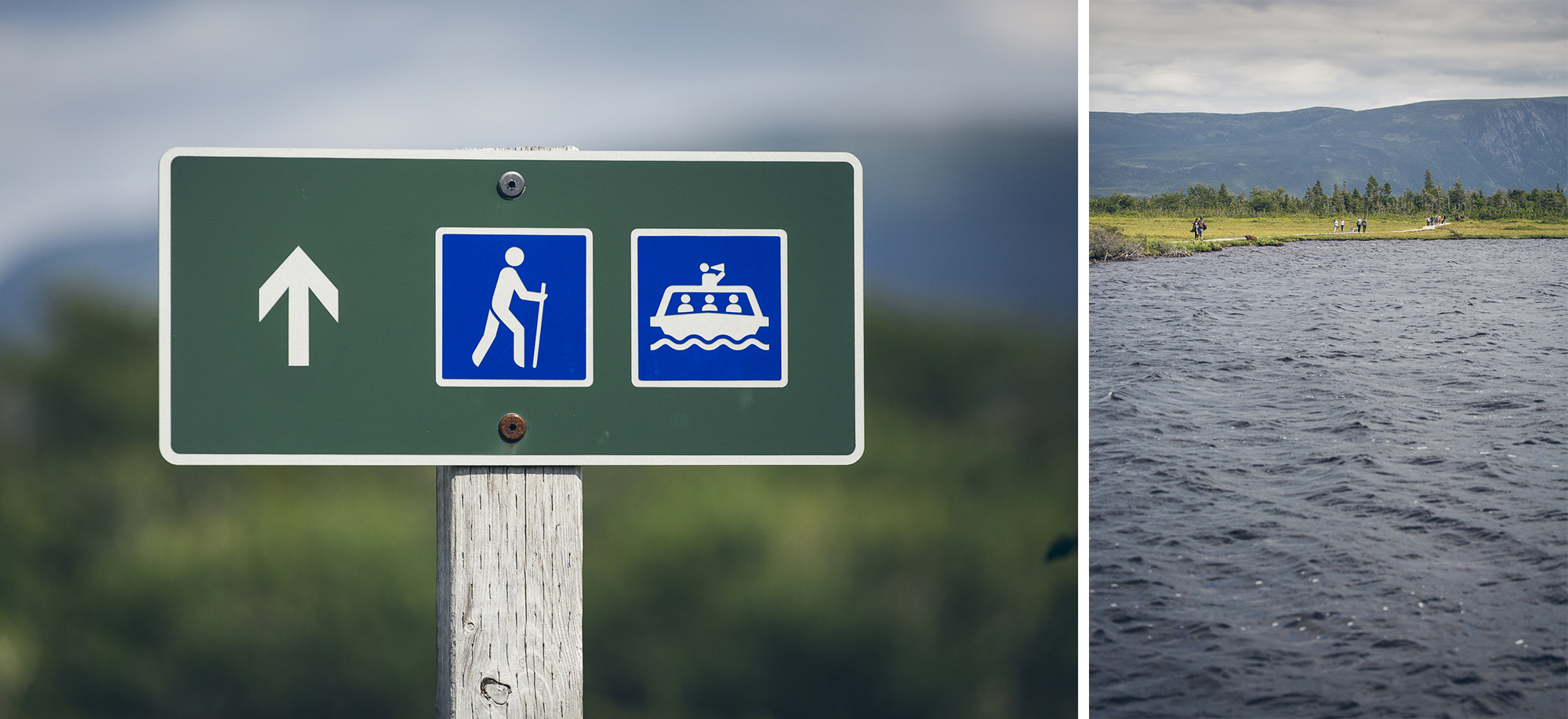
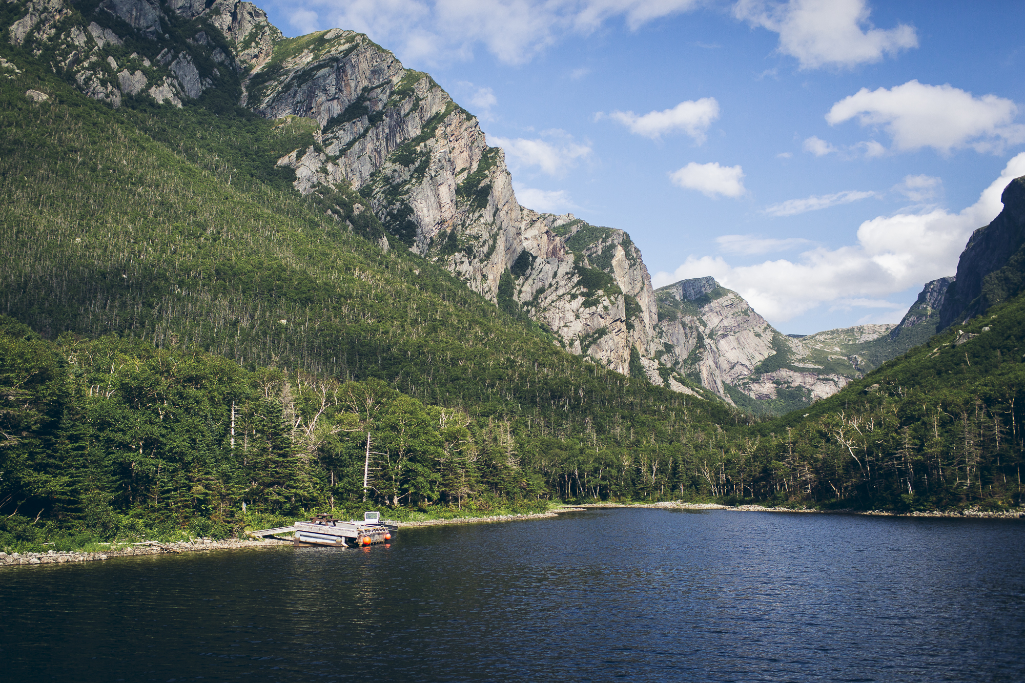
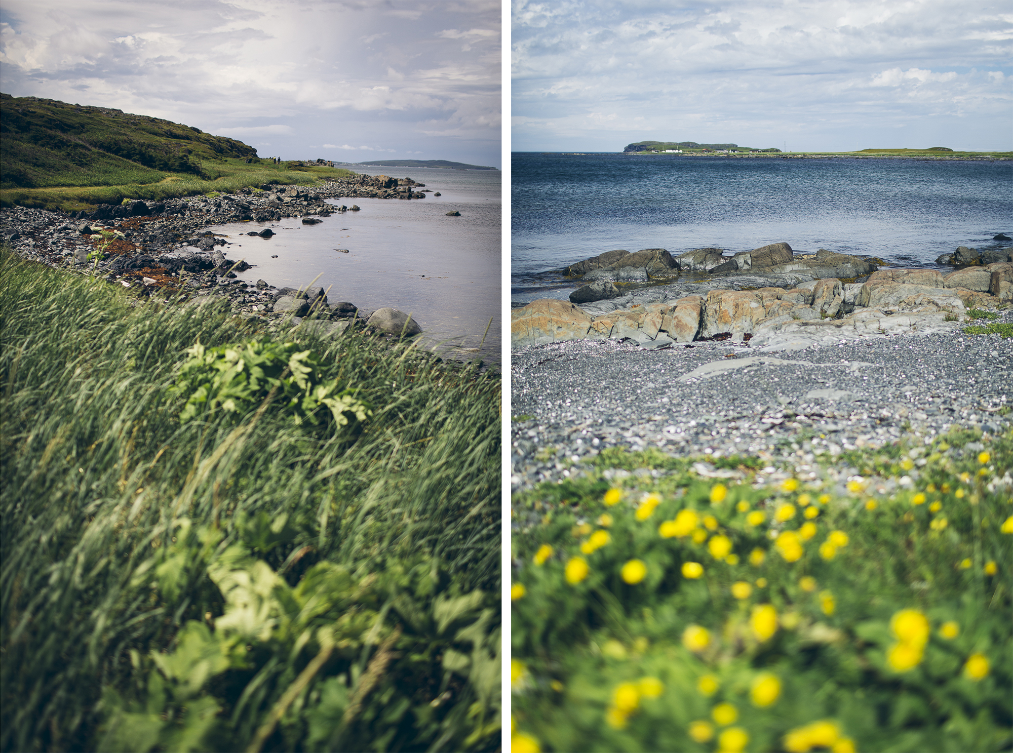
Next we tackled the Green Gardens hike in Gros Morne National Park.
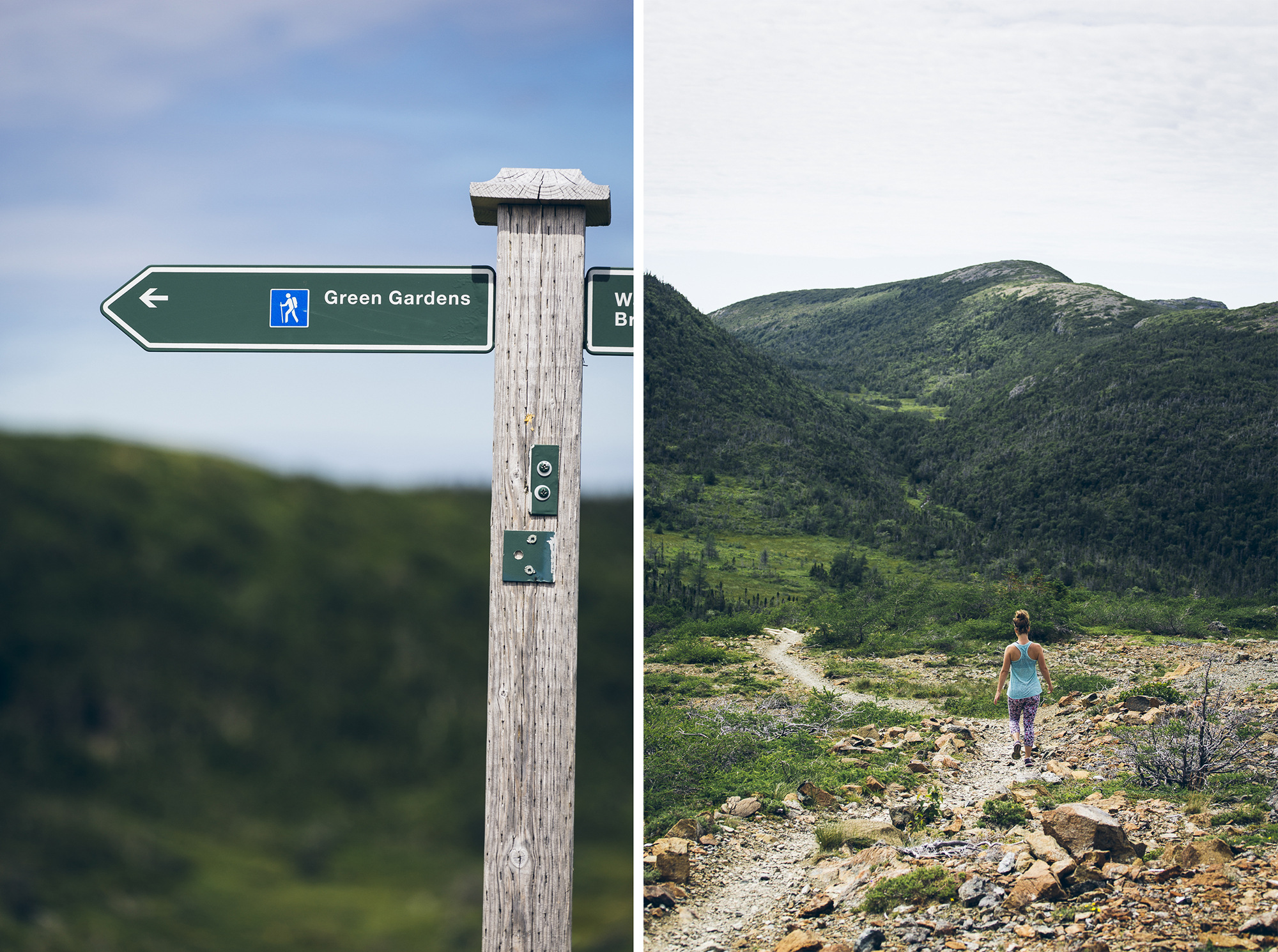
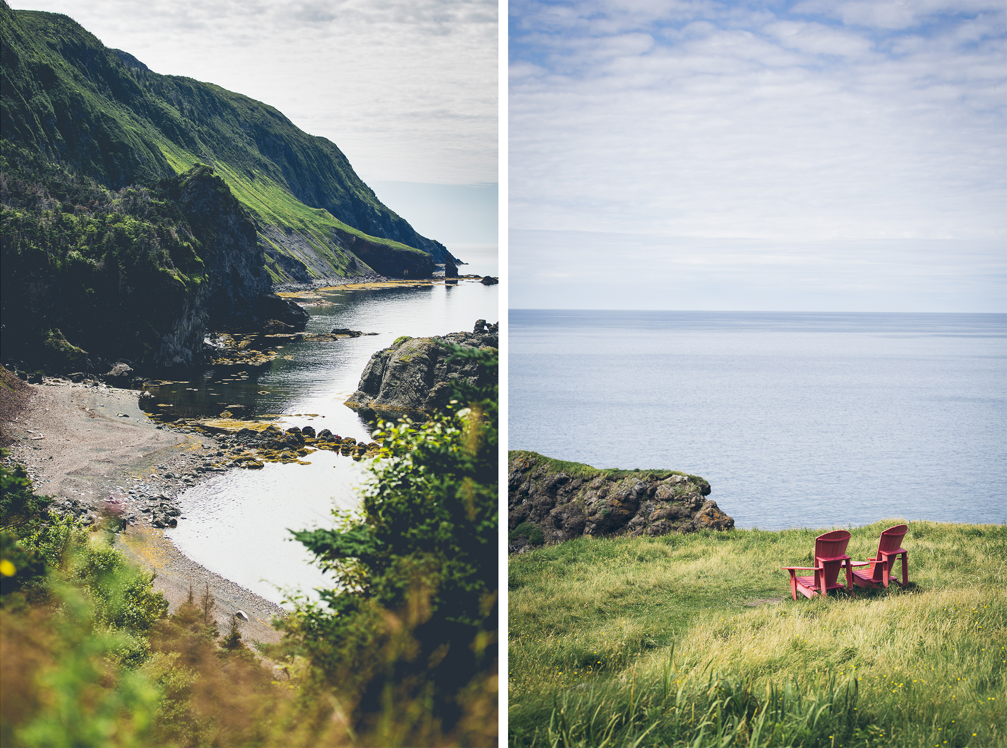
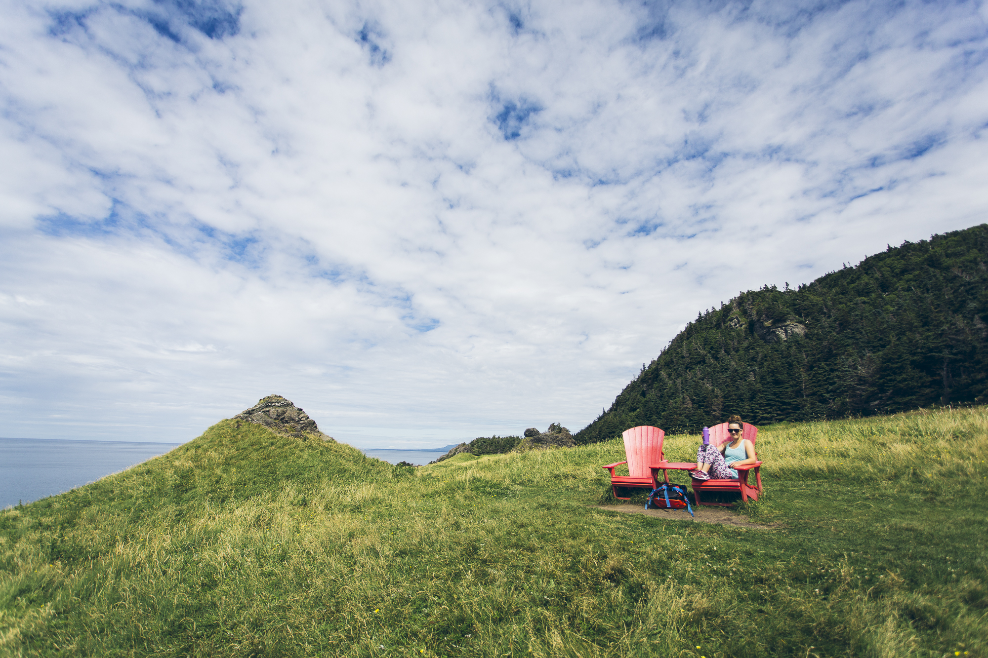
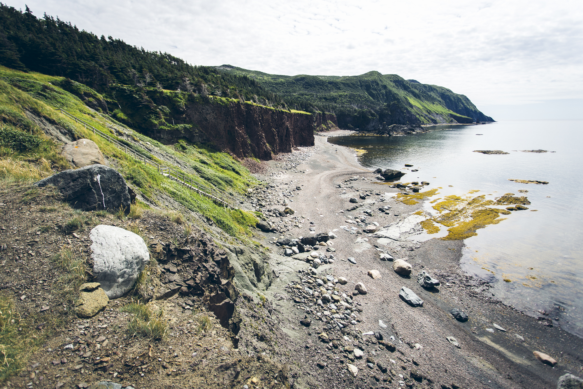
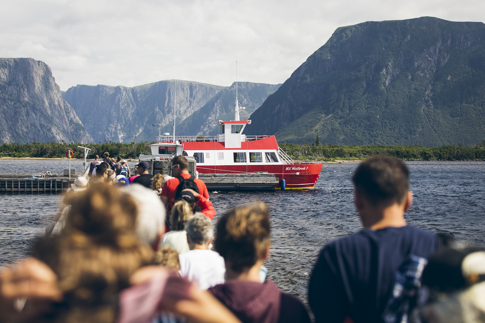
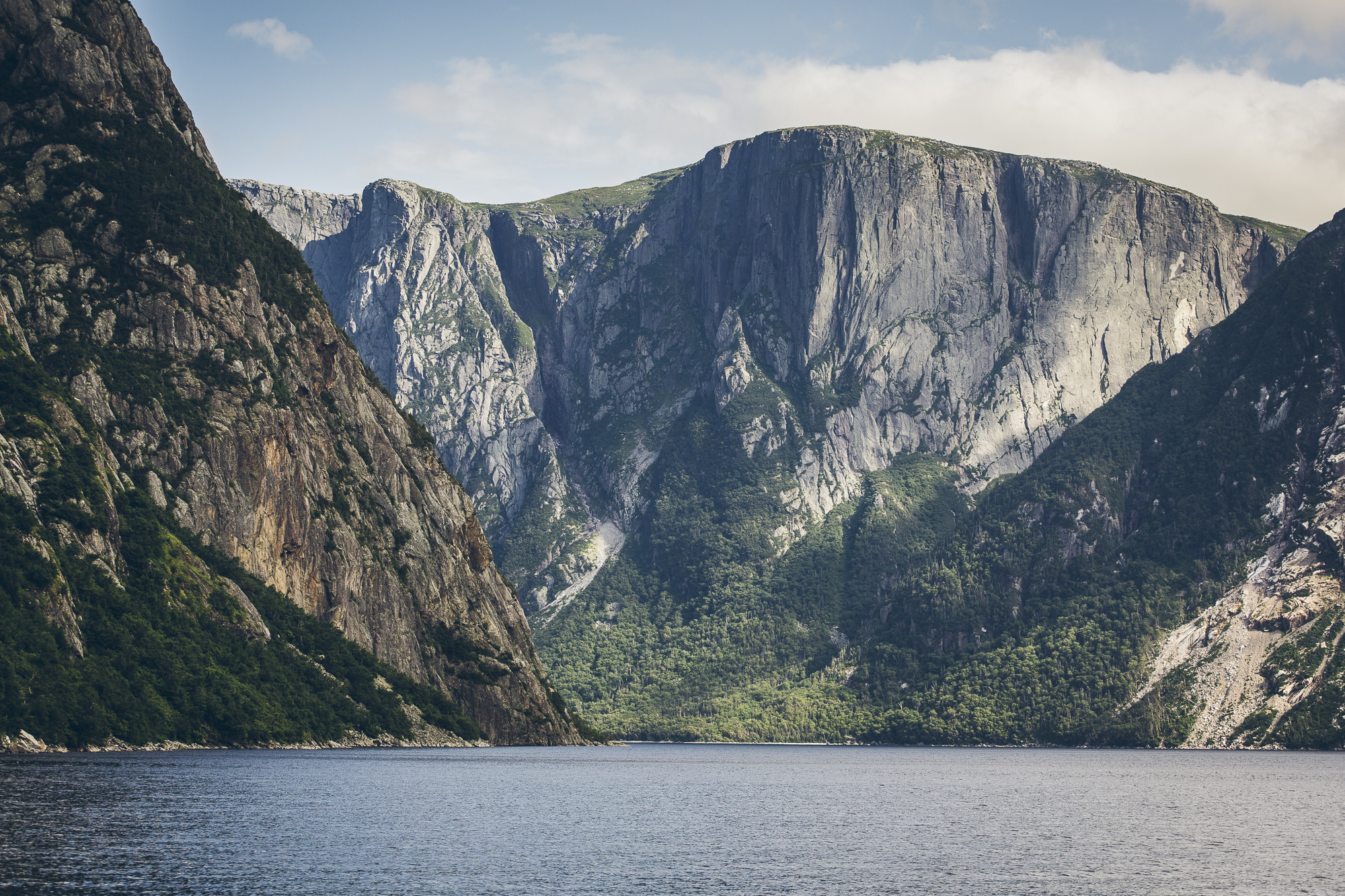
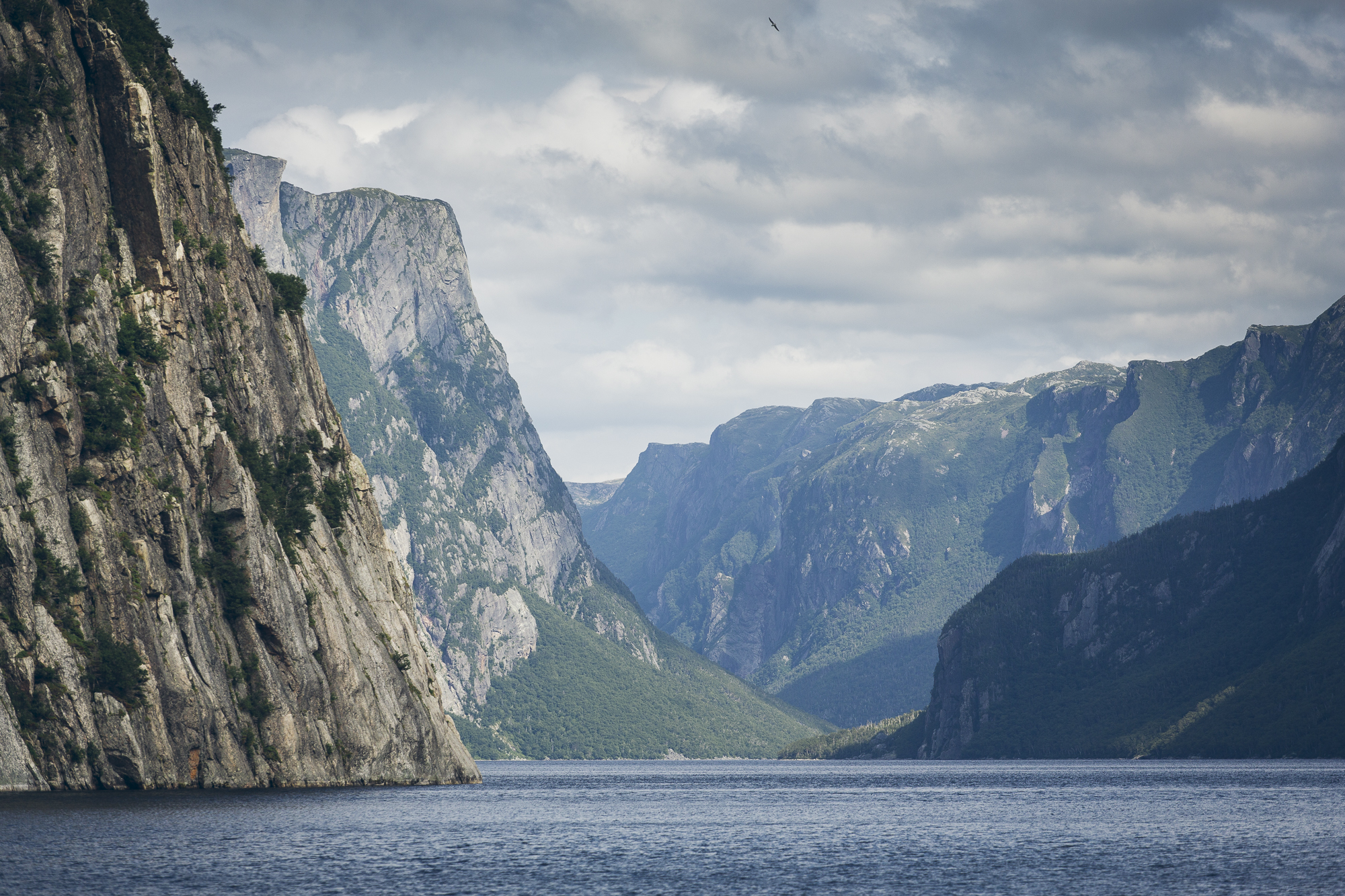
I would say this is a better view than what you get from your average StairMaster.
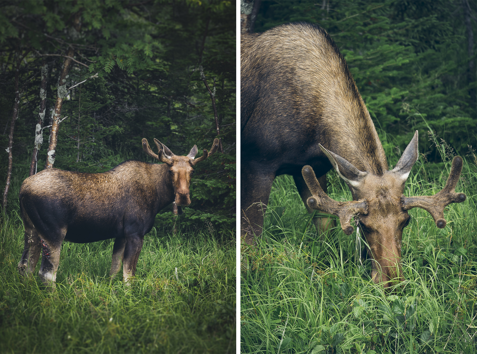
Richard’s Moose Spotting Tips: Drive normally along backroad or a highway. Wait until you see other cars parked dangerously on the side of (or middle of) the road with hazard lights on. Stop your vehicle, park dangerously on highway, turn on hazard lights, and see what everyone is taking photos of. Nine times out of ten they’re watching moose.
We were told that the moose are chased out of the woods by bugs at dawn and dusk and prefer to be grazing alongside the open areas beside the road during those times. These are huge beasts and I was stoked we were able to see a few while in Newfoundland. Now I’m starting to feel like a true Canadian.
L’Anse Aux Meadows National Historic Site
Declared a UNESCO World Heritage Site in 1978, L’Anse Aux Meadows was the landing site for Norse expeditions from Greenland, who arrived over 1000 years ago. Several small buildings made from timber and sod remain, constructed in the typical Scandinavian style of the late 10th and early 11th century. L’Anse Aux Meadows is in fact, the only confirmed Norse or Viking site near North America outside of Greenland.
Parks Canada indicates that archeological remains found at the site include a wood debris, stone oil lamp, a whetstone, a bronze fastening pin, a bone knitting needle and part of a spindle. Stone weights were also found, suggesting the presence of a loom. Most of the artifacts indicate that carpentry, boat repair, iron smelting and smithing consumed most of the inhabitants’ time.
Due to the location of the settlement, the activities on the site and the types of artifacts left behind, archeologists believe the site was a base for exploration and storage. There is evidence of resource transportation back to Greenland.
Of course, the Norse weren’t the only people who lived in the area. Indigenous tribes habited the area more than 200 years before the Norse stepped foot on the land. Five or six groups made camp on the southern shore of the bay, as evidenced by leftover tools, tent rings and hearths.
I don’t know about you, but we’re nerding out super hard here. If you want to learn more about the history of Vikings and their journey to North America, or you just want to read some fictional works about Vikings, we’ve listed some books below.
Further Reading:
- The Sagas of Icelanders, by Deckle Edge
- God’s Daughter, by Heather Day Gilbert
- The Last Kingdom, by Bernard Cornwell
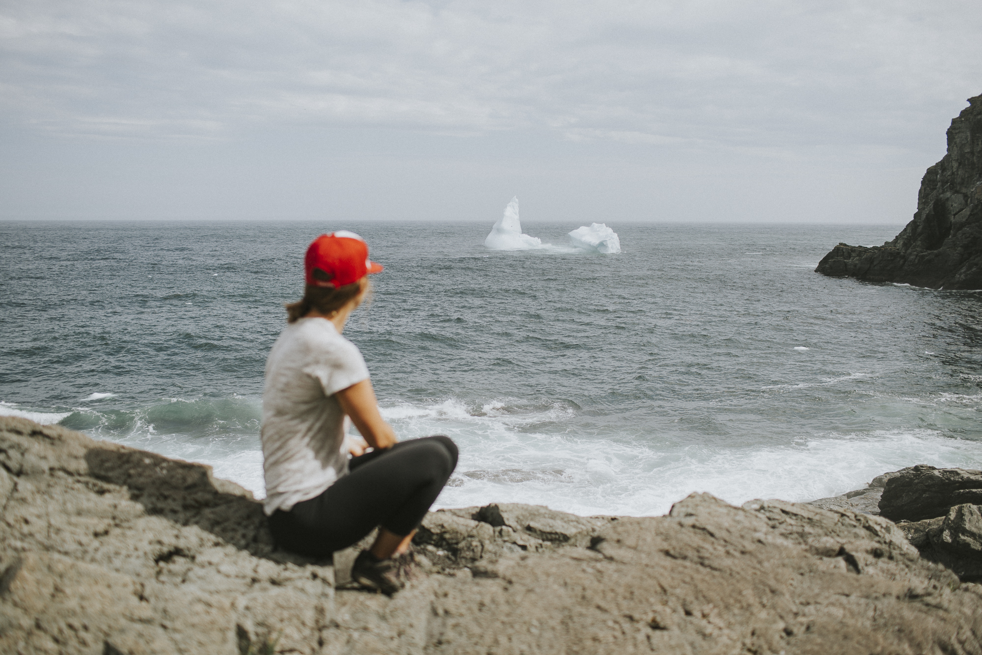
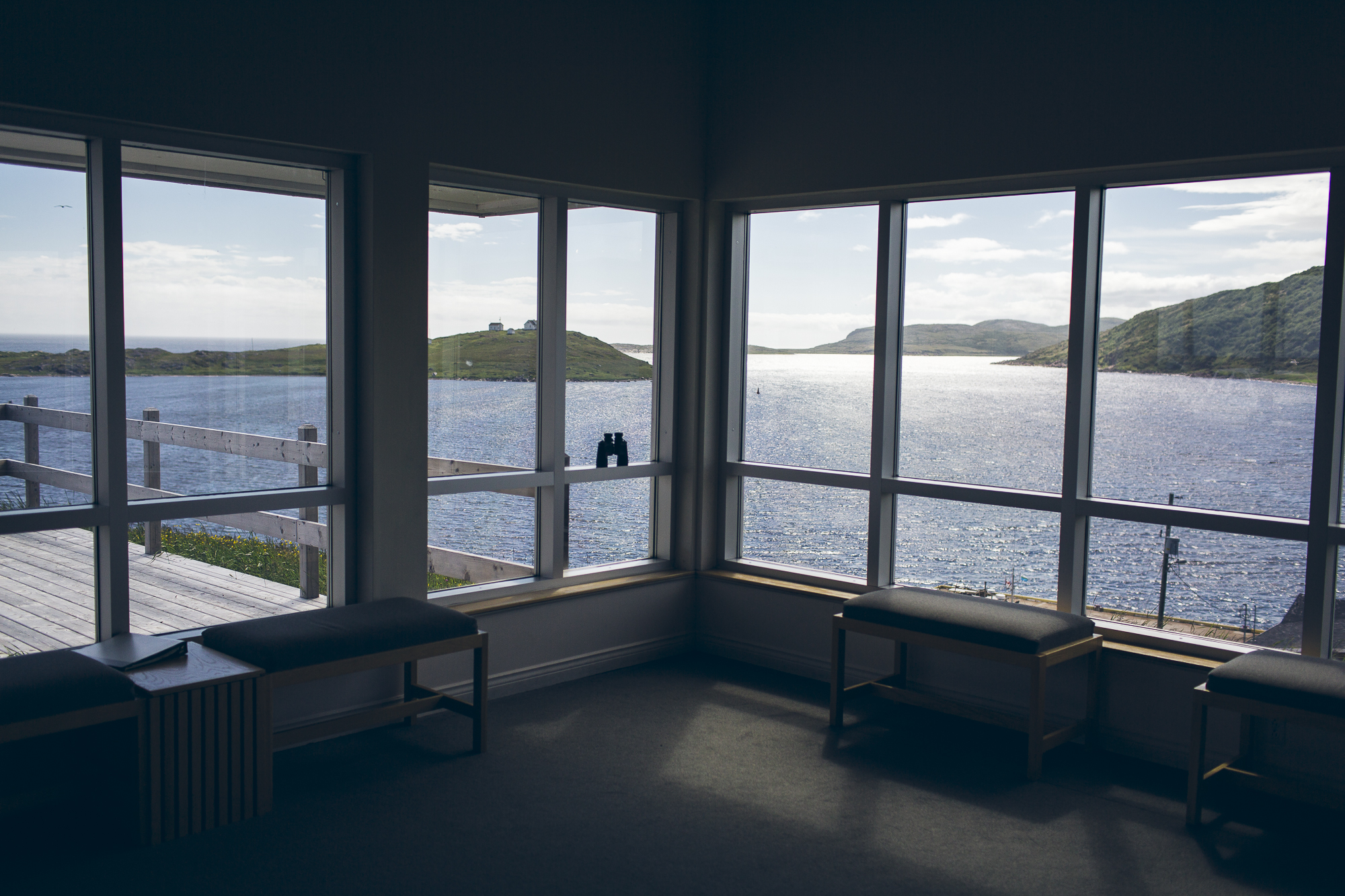
St. Anthony is a small town at the end of the road on the Great Northern Peninsula in Newfoundland. Many people come here for the whale watching or to learn about how Dr. Grenfell brought modern medicine to the region, but we were there for one reason… to find some icebergs.
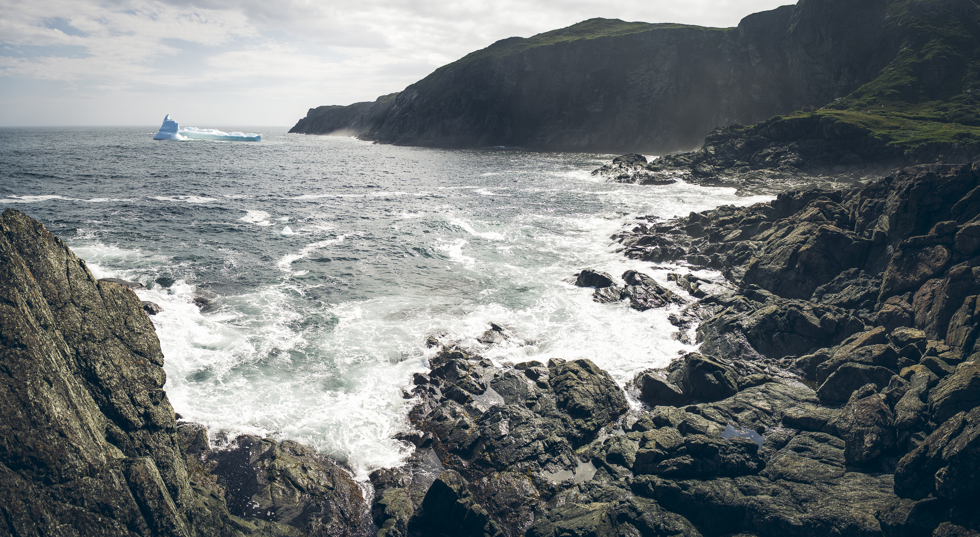
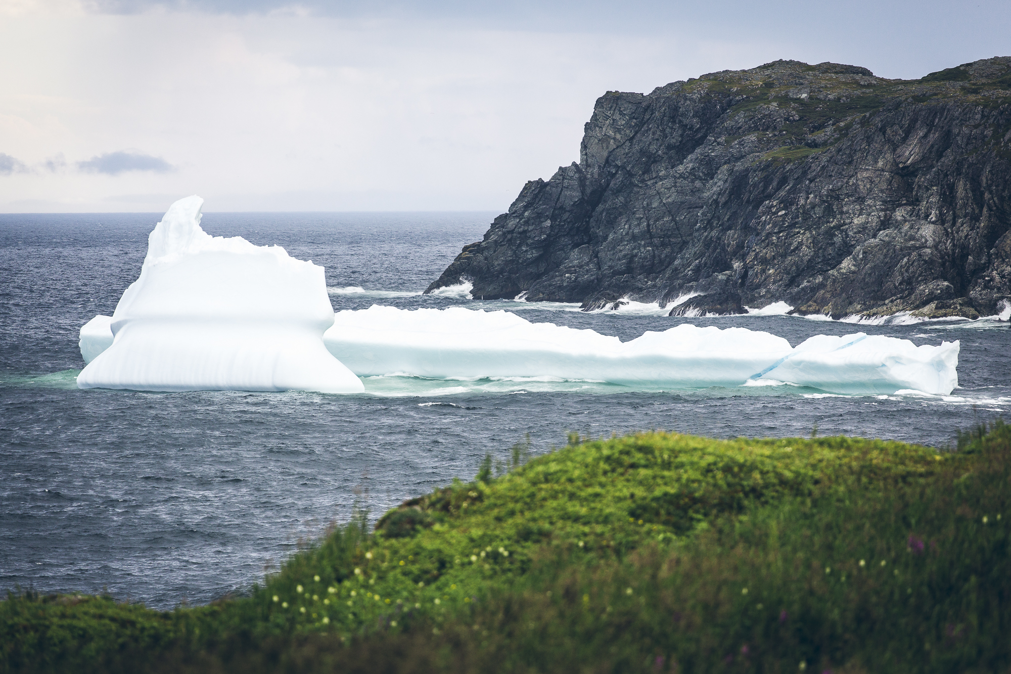
Icebergs off the coast of Newfoundland! These giant hunks of ice make their way south from Greenland before finally melting and breaking apart off the Great Northern Peninsula. This is another one of those things that would have been on my bucket list had I known about it in the first place. Words and photos once again are not enough.
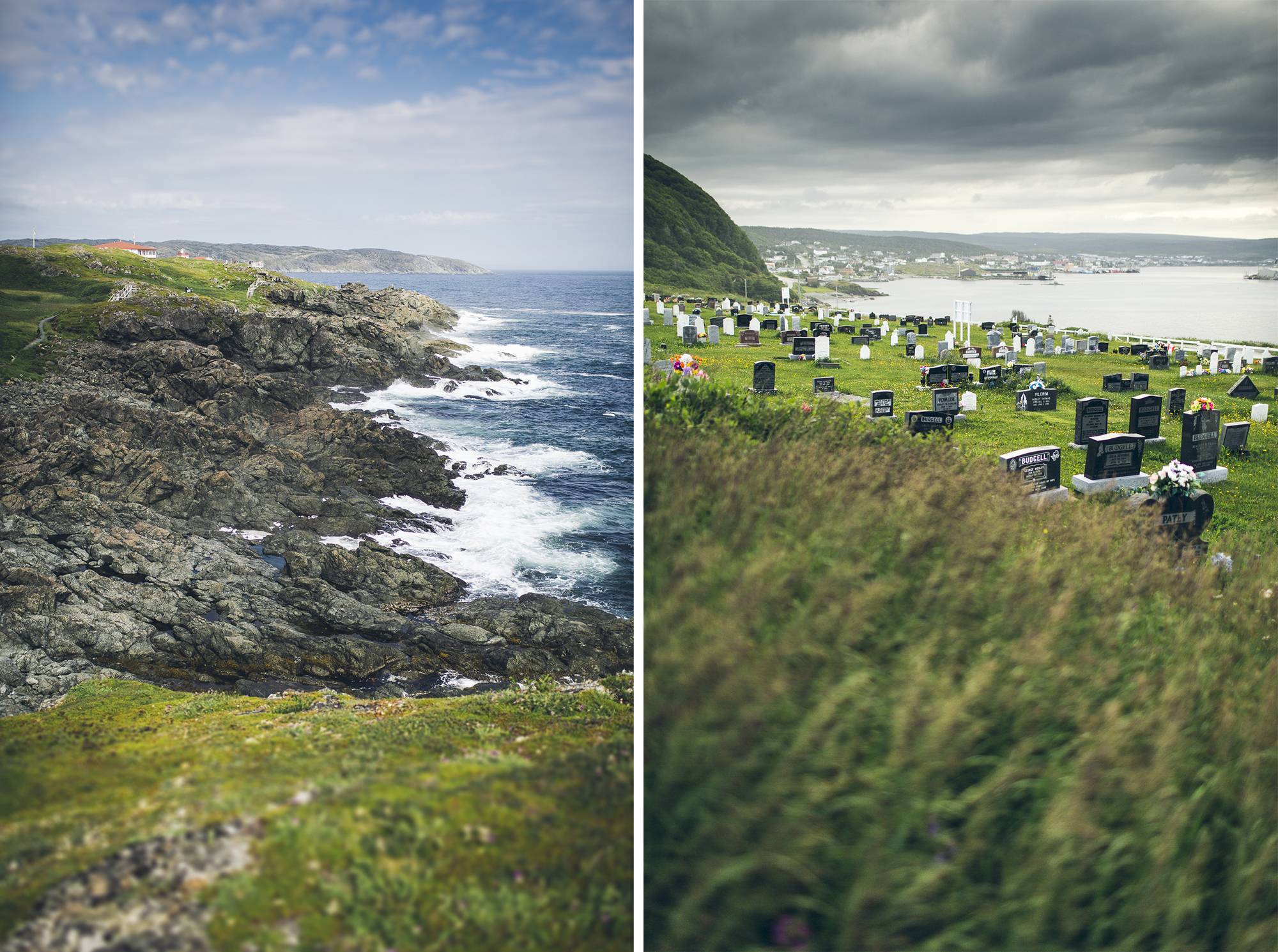
Well, if you’re going to spend eternity somewhere it might as well have an epic view.
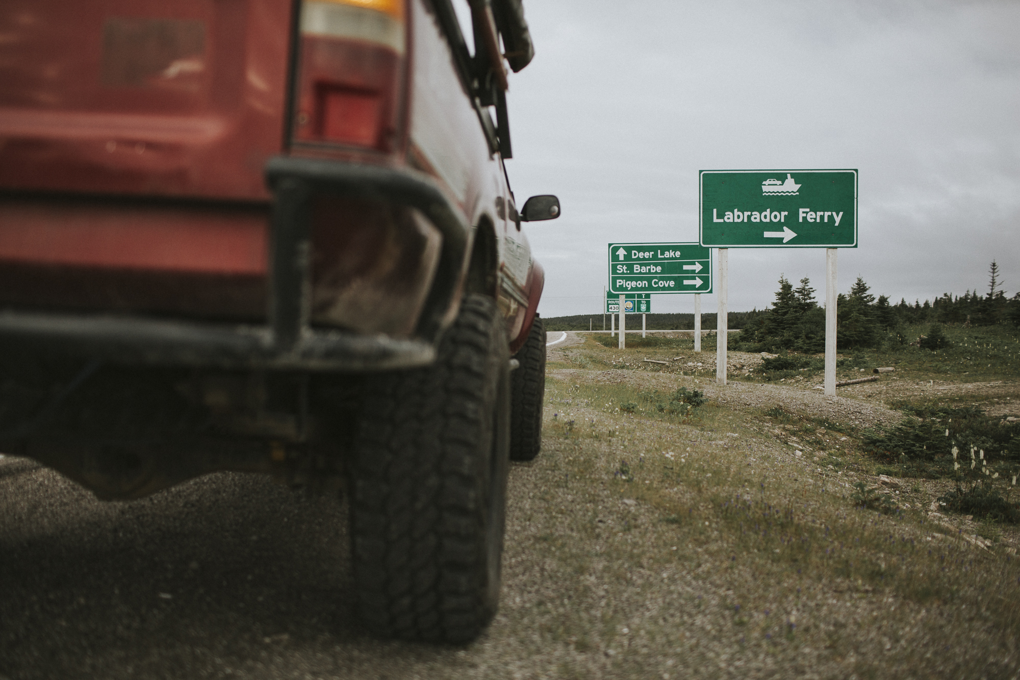
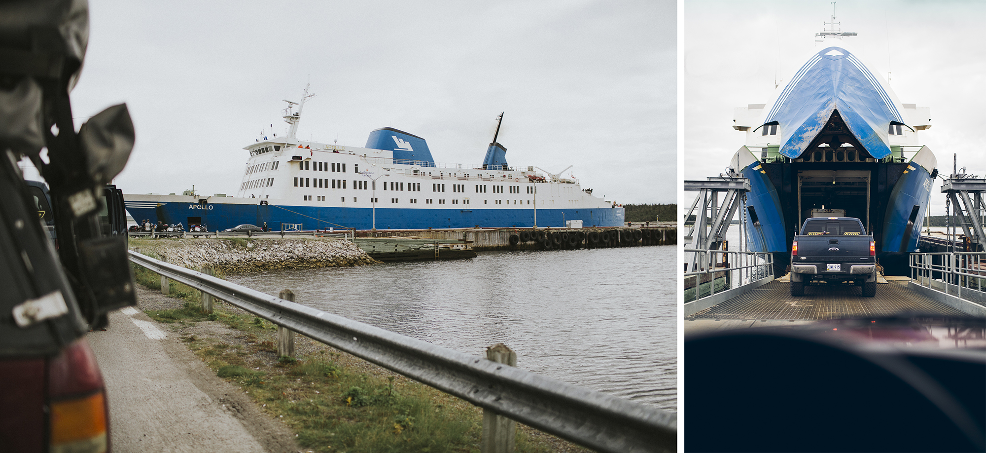
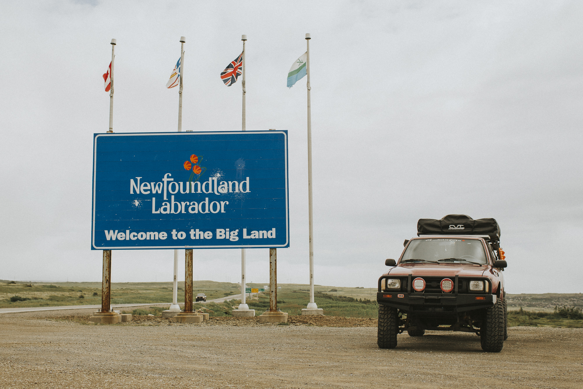
Despite enjoying Newfoundland, it was time to make our way to the mainland. The Trans Labrador Highway was calling our name. We rode the Labrador Marine ferry across the Strait of Belle Isle, from St. Barbe to Blanc Sablon, on Québec’s southern coast. A short drive from there put us right into Labrador (map is courtesy of Newfoundland Labrador tourism).
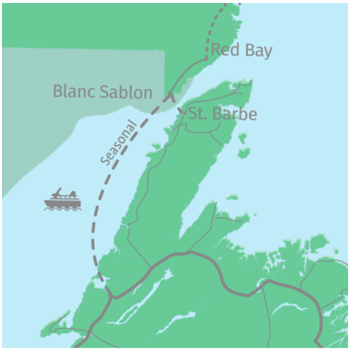
For reference, the Labrador Marine ferry schedule can be found HERE and the ferry rates can be found HERE.
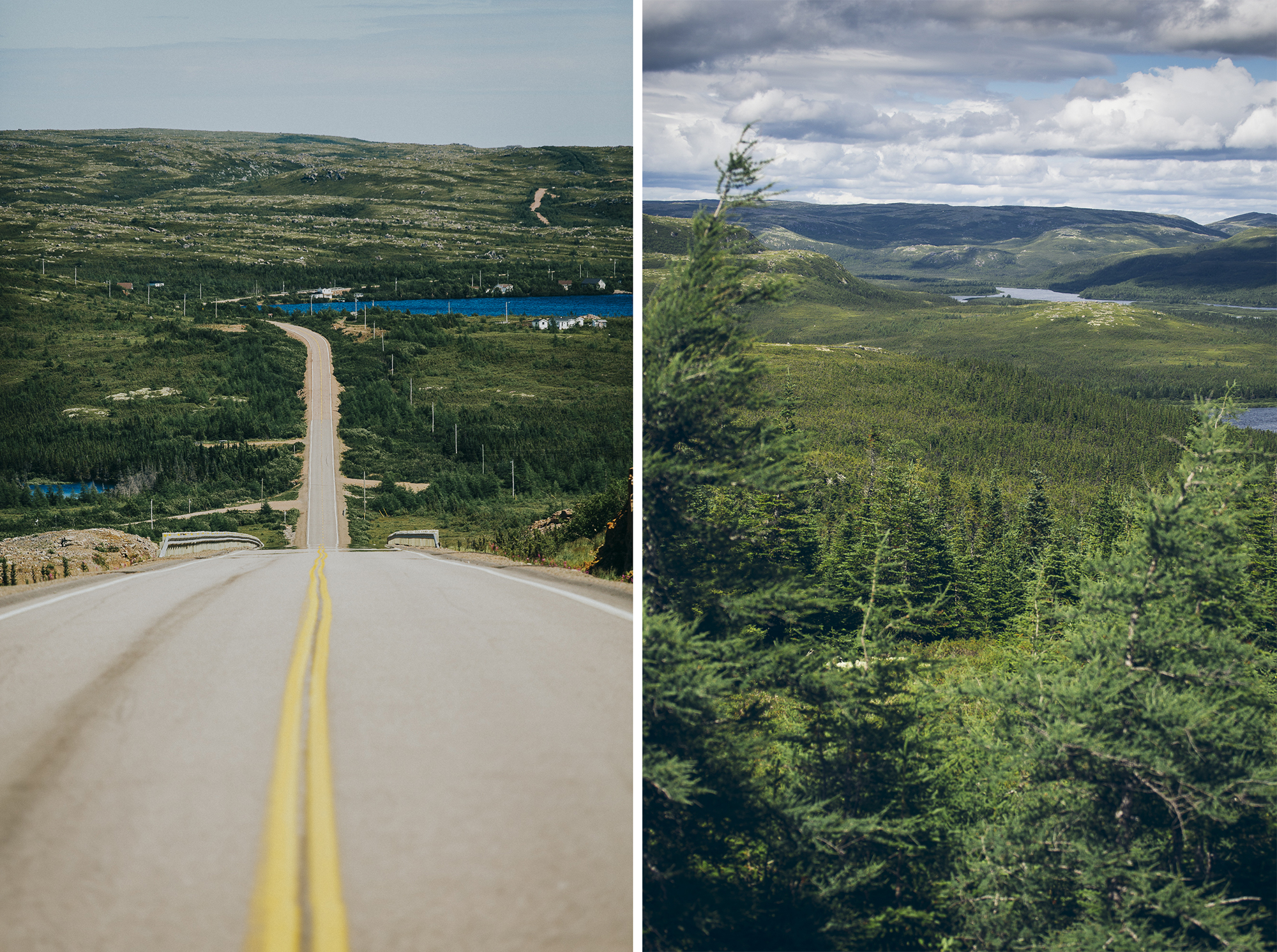
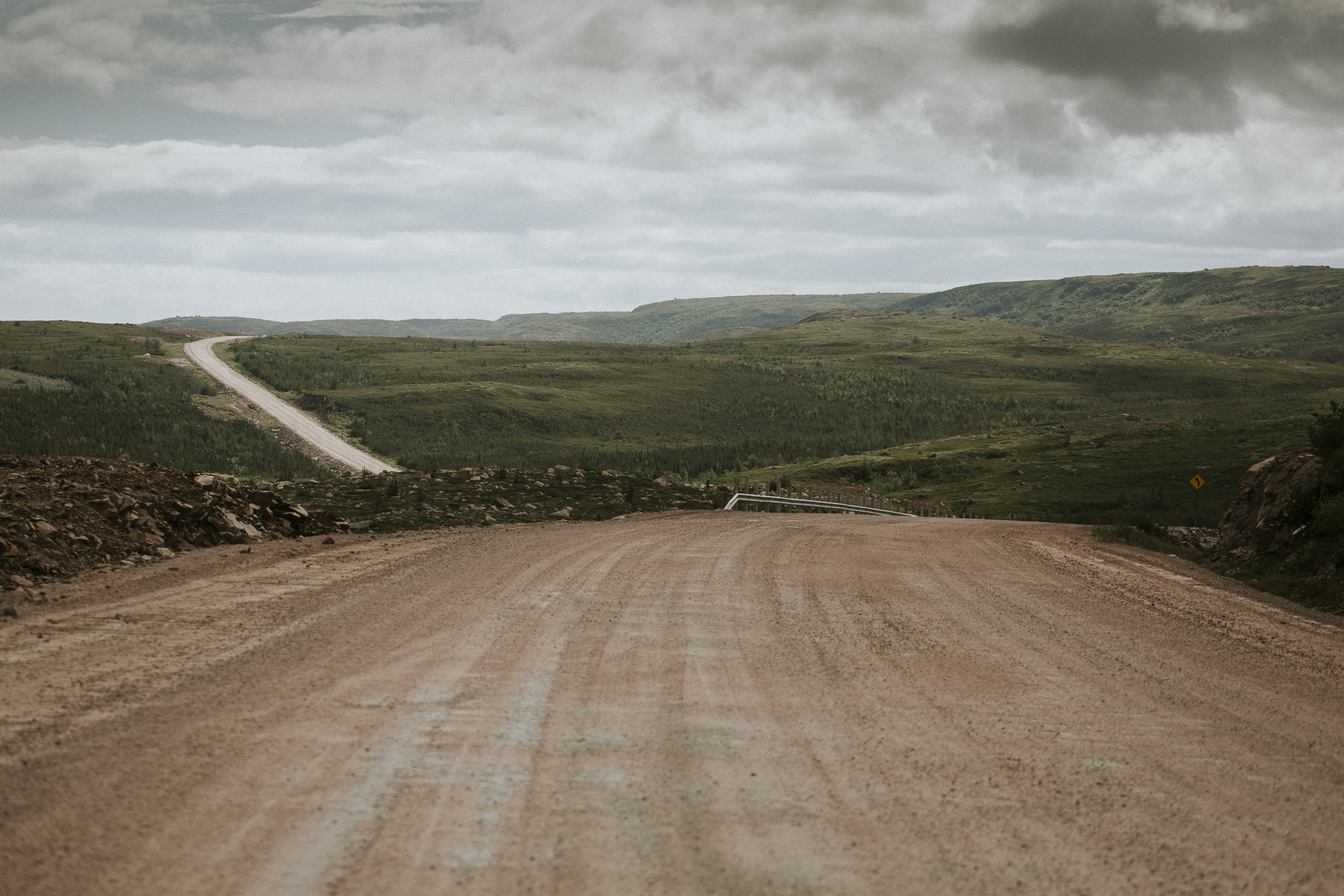
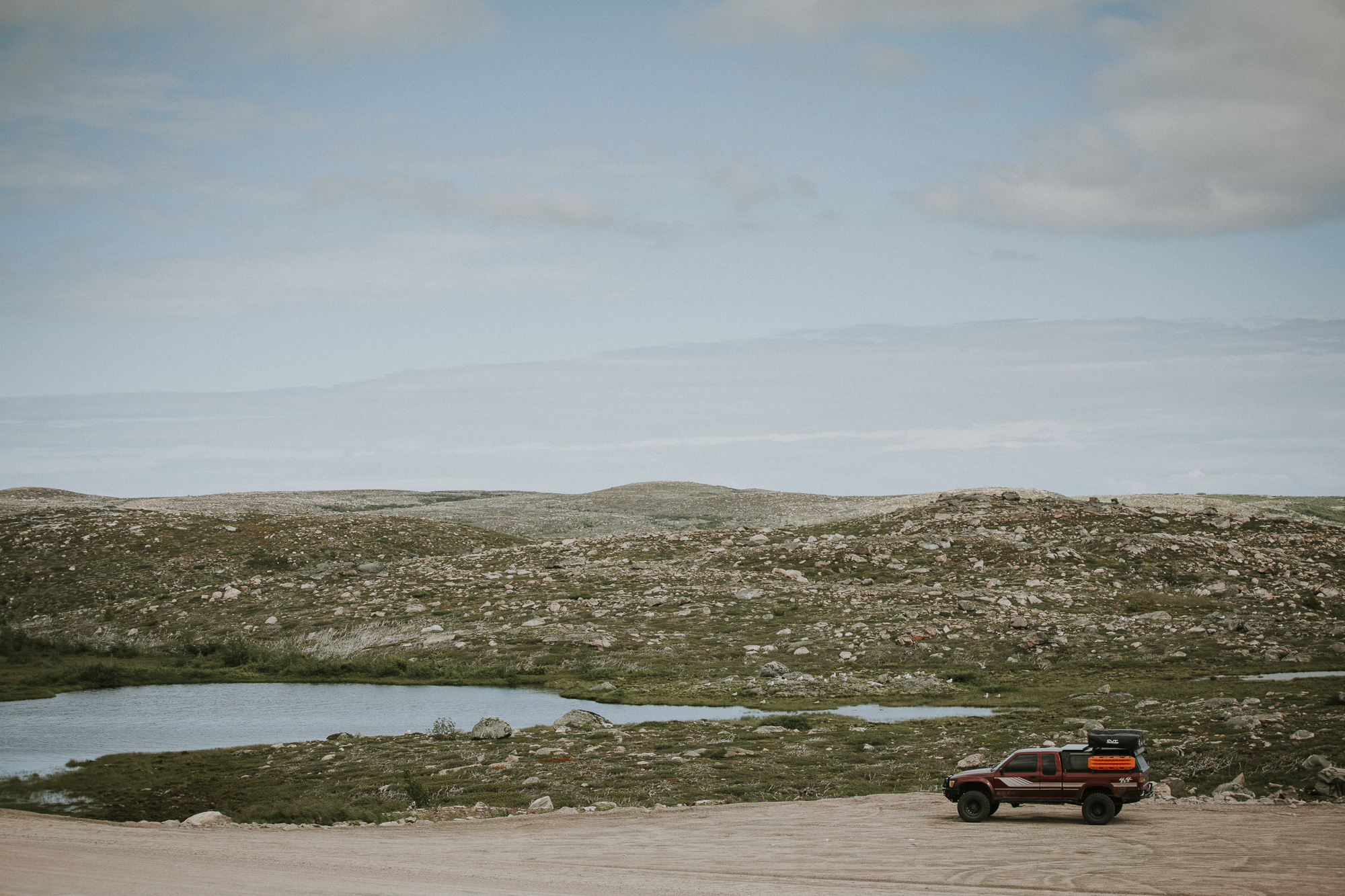
The Trans Labrador Highway is the main road through Labrador (with a population of about 27,000 and 0.2 people per sq mile) and spans a length of 1249km. There are a few towns along the way, but in between lies hundreds of kilometres of graded gravel roads, acres of boreal forest, and clouds of relentless black flies.
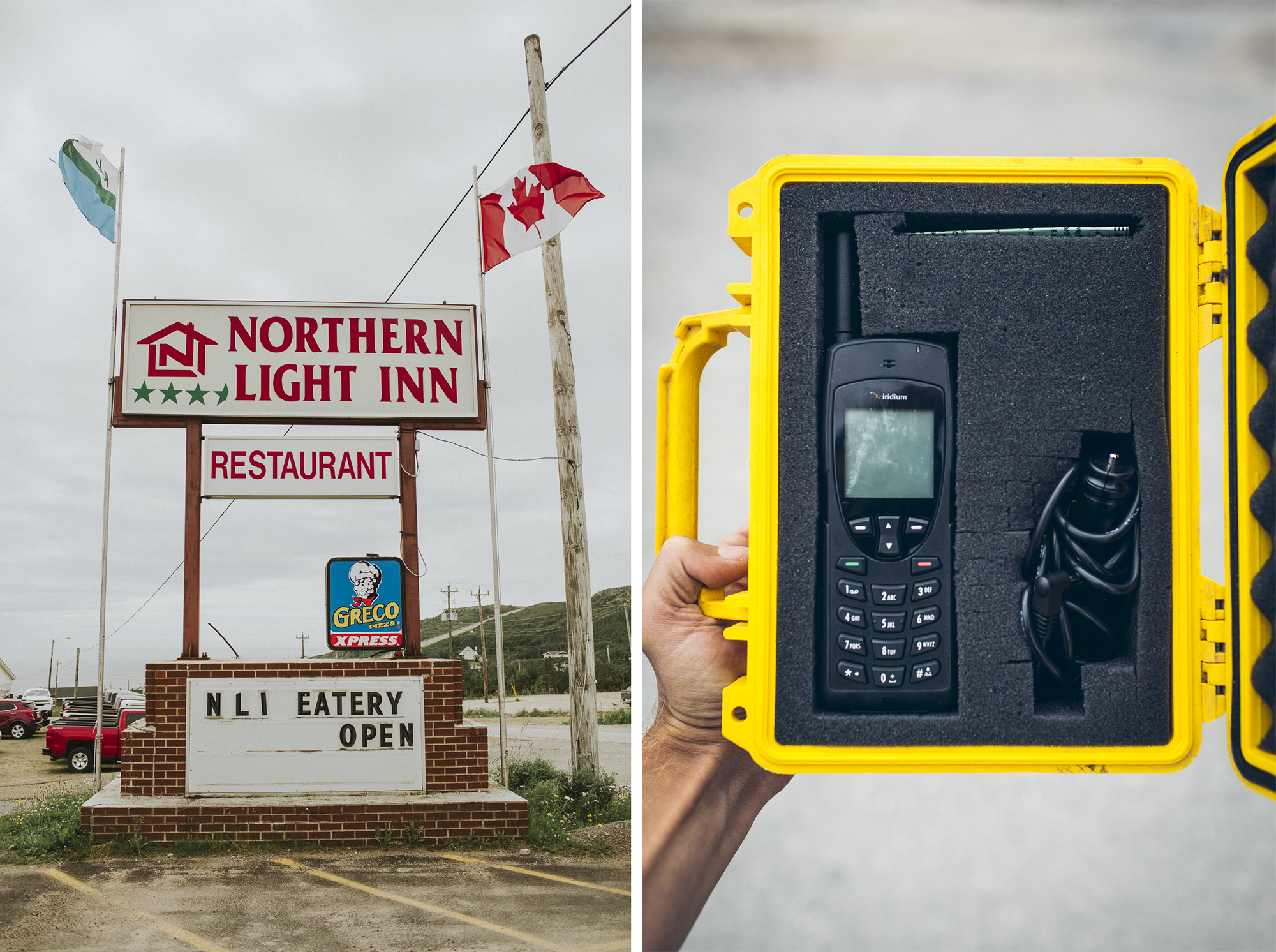
Only 27,000 people live in Labrador so that means the highway can be a remote and lonely road to travel on. Emergency services can take a along time to reach you, especially since there is no cell service outside of Goose Bay or Labrador city. The province loans out sat phones for anybody who wants one, so we picked one up at the Northern Light Inn before venturing too far. I admit, a lot of our travels through South America were much more remote, but as the saying goes, it is always better to be safe than sorry. Plus, having the phone on board made our moms happy.
A list of locations in Labrador that offer sat phone loans can be found HERE.
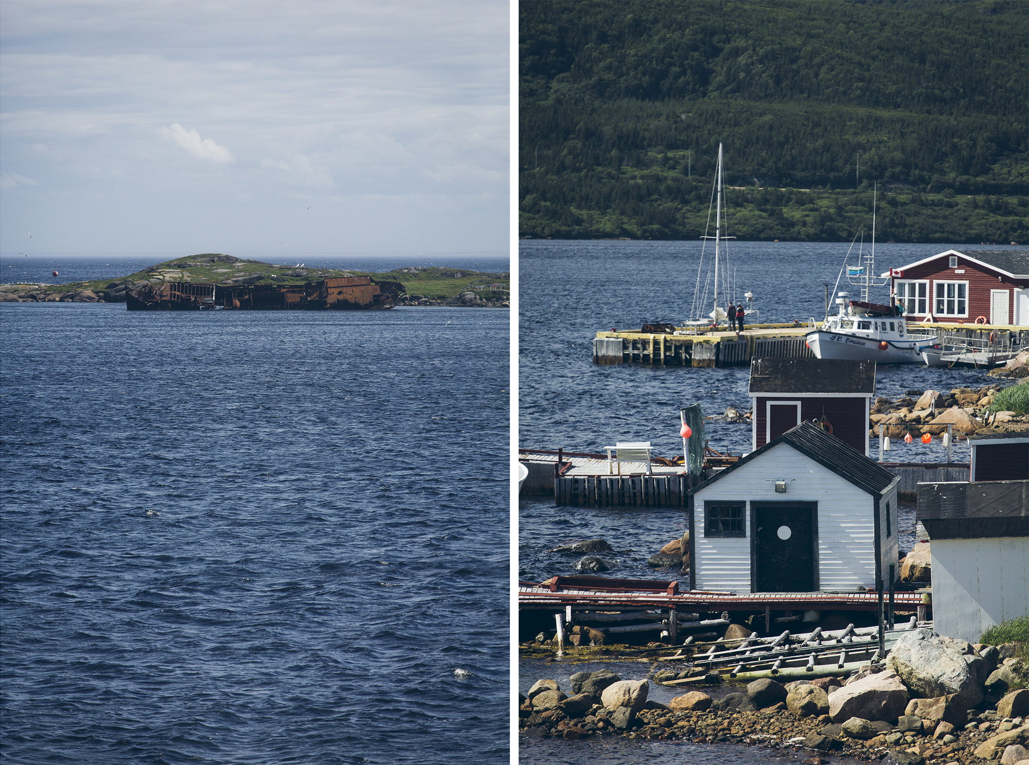
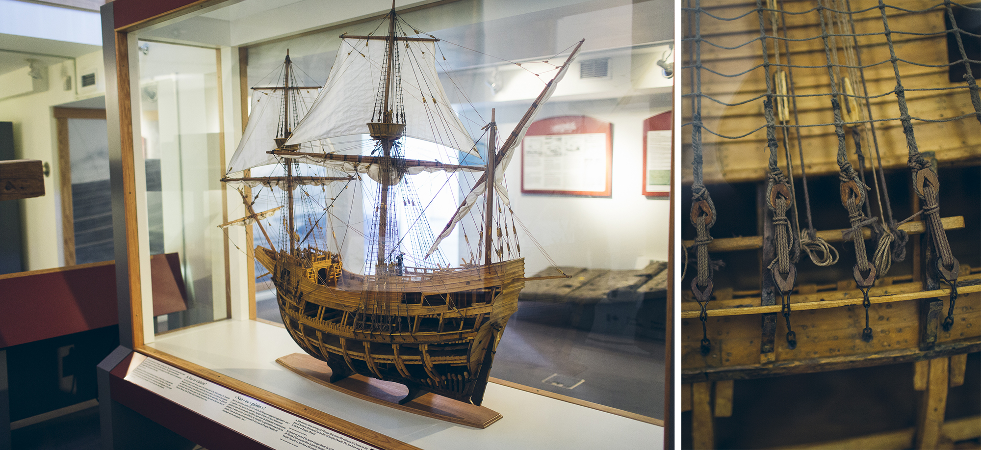
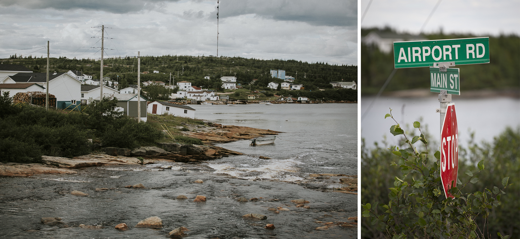
The village of Red Bay has the last pavement you’ll see for about 550km when travelling north along the TLH. Red Bay is well known as an UNESCO World Heritage Site. The well-protected bay has a long history as a whaling station. We learned about the most complete and preserved 16th century Basque whaling station in North America at the @parkscanada interpretive centre before making dust.
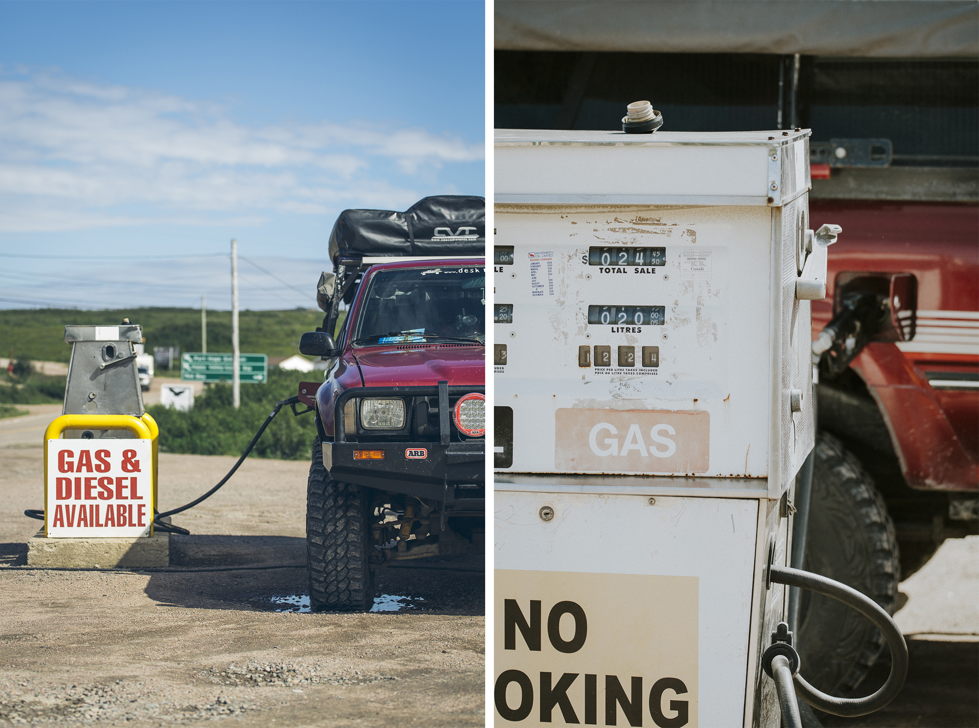
Do you think I can pay at the pump?
The gas stations can be few and far between on the Trans Labrador Highway. This was the first time since Bolivia that we carried extra fuel with us, and the first time since Argentina that we used these antiquated analog gas pumps.
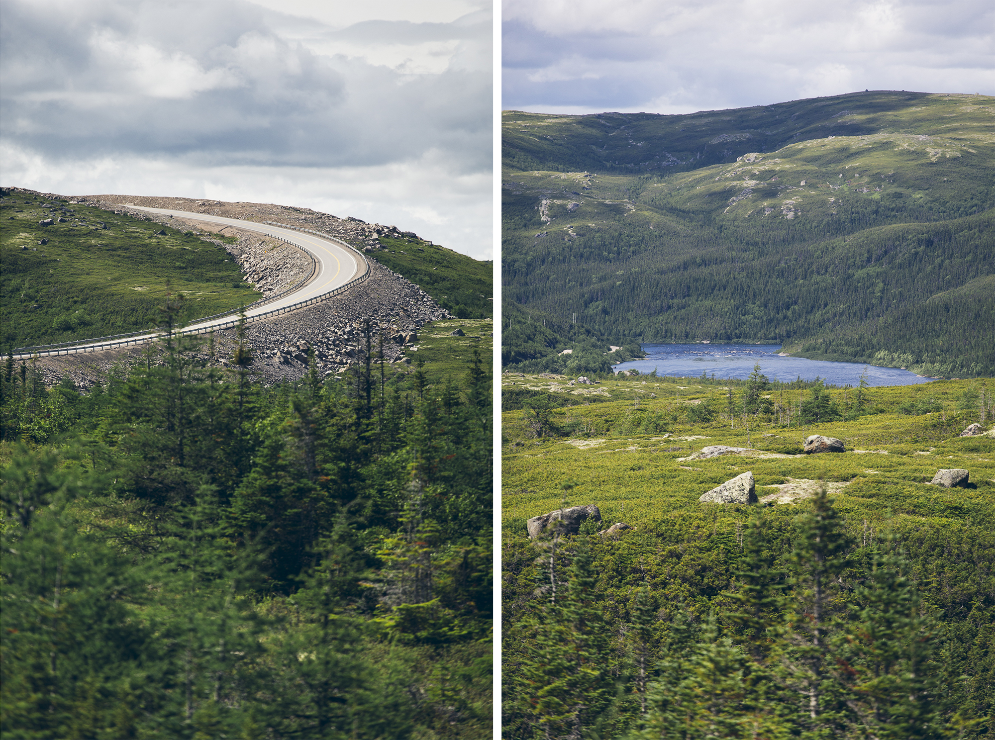
After leaving Red Bay we were treated to hundreds of kilometres of freshly graded gravel. Memories of relentless dashboard-rattling washboard in Patagonia lingered in my mind, so when these smooth highway speed dirt roads appeared I was stoked to mash the fun pedal and settle in for a long day on Highway 510.
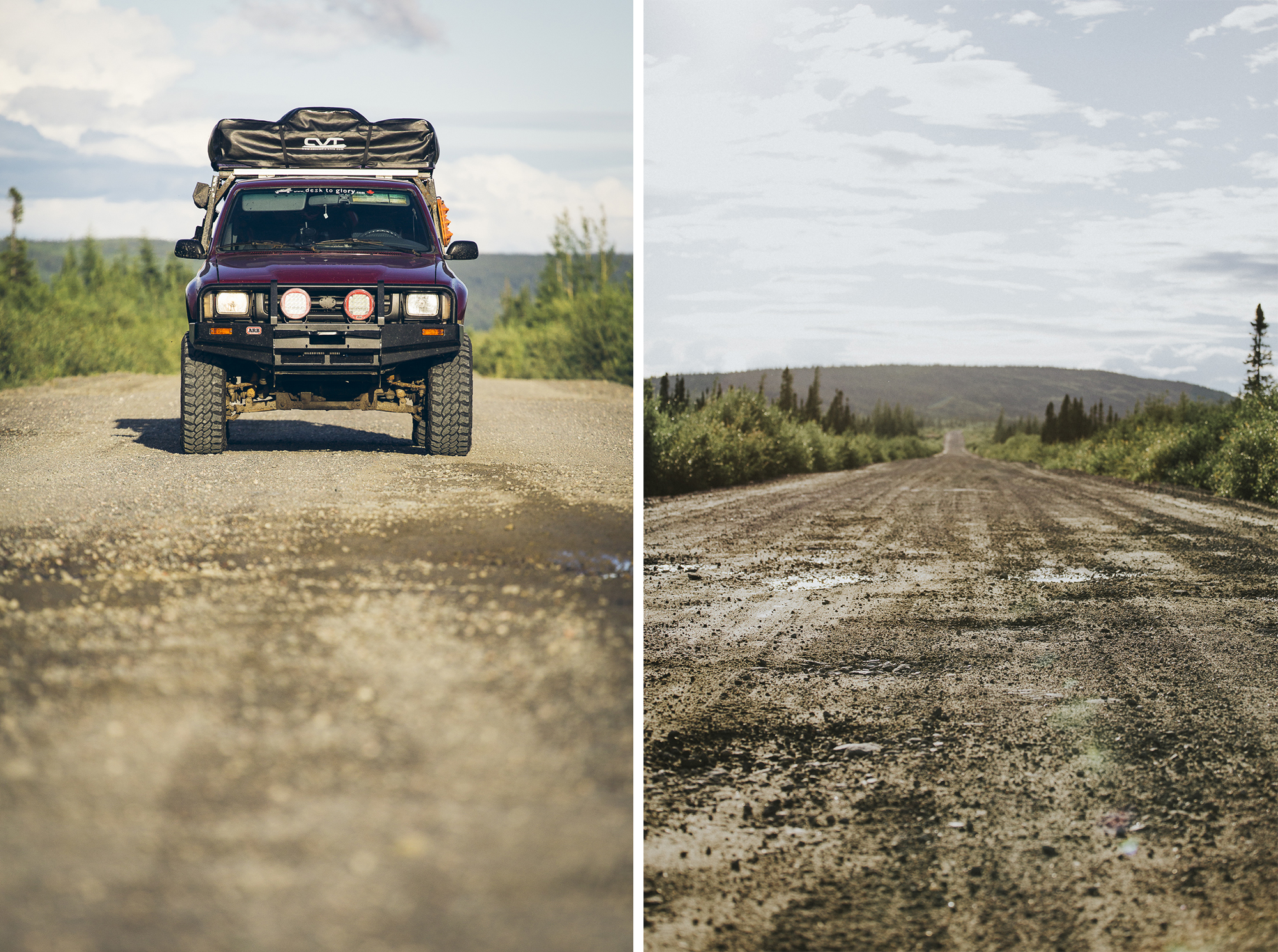
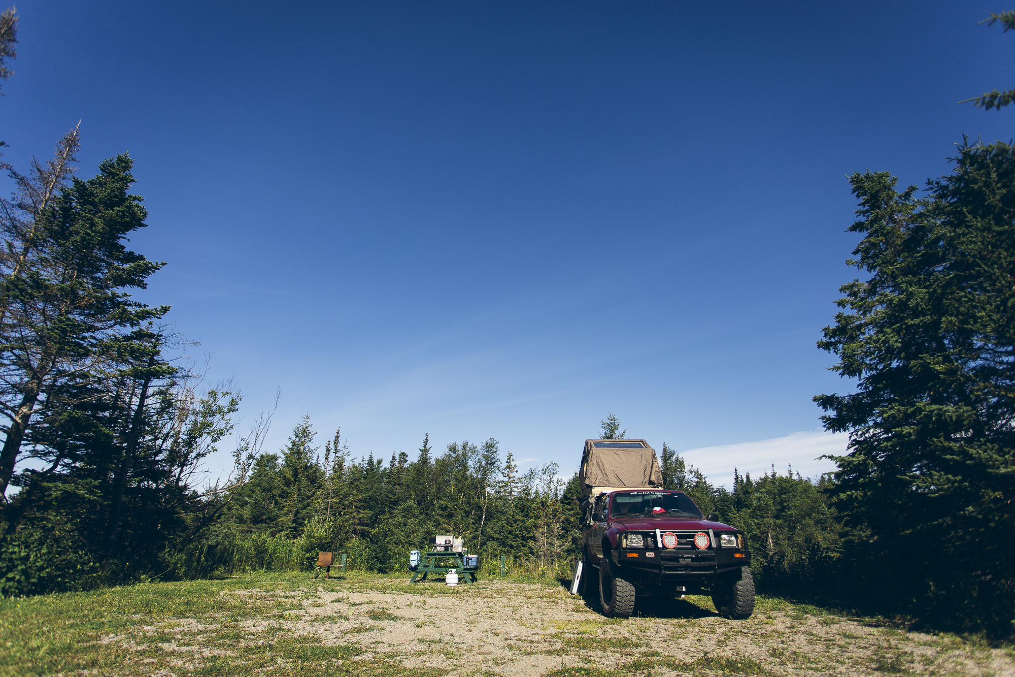
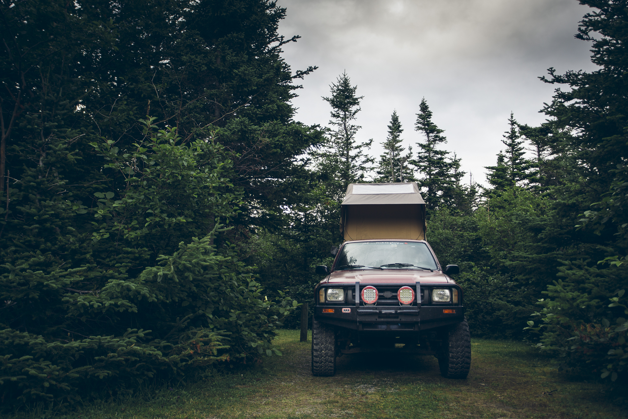
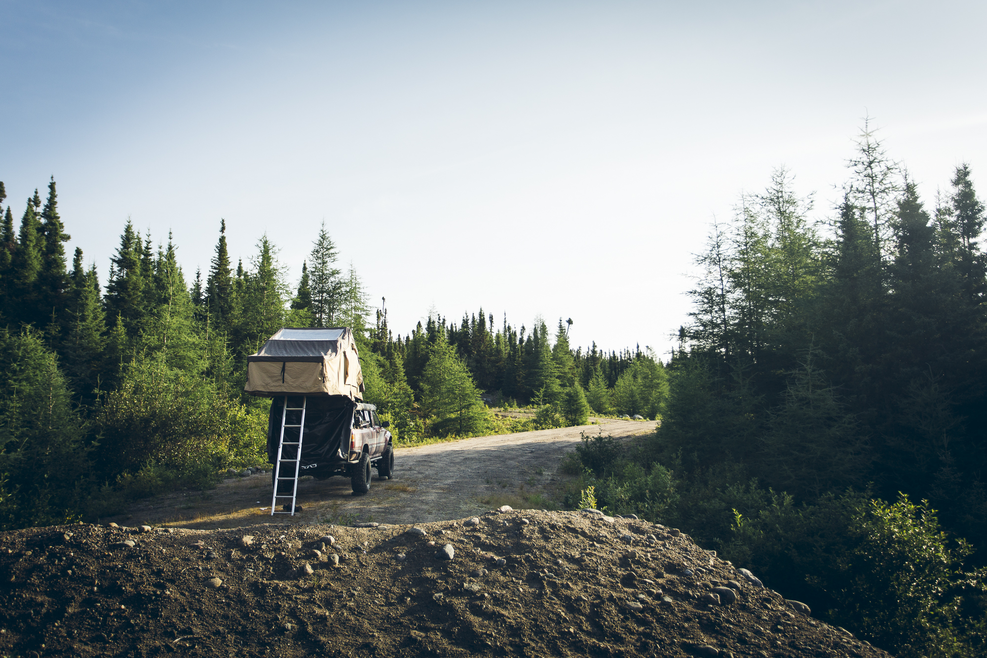
Good morning! To give you an idea of how stealthy this TLH campsite was I took this photo while standing on the highway. Apparently it didn’t really matter since only one car passed by between 10pm and 7am.
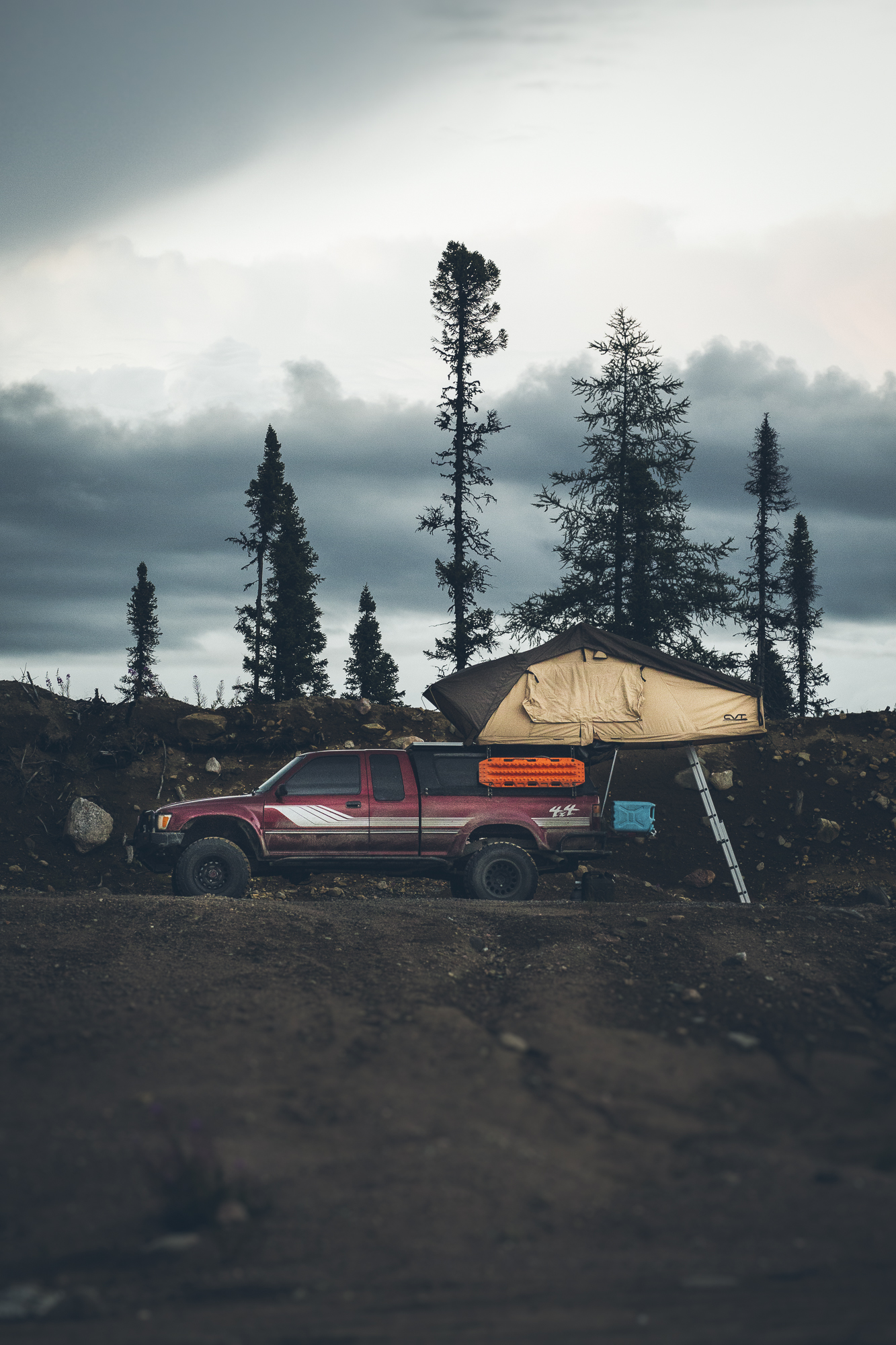
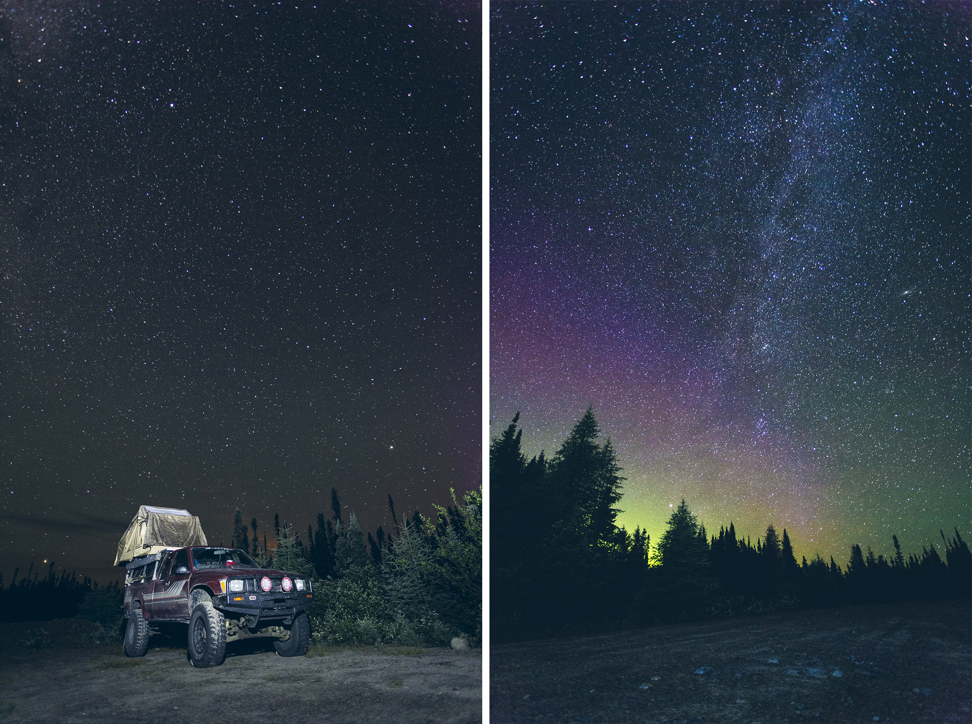
Travelling along the Trans Labrador Highway meant that our makeshift campsites were almost always beside the main road but still far from any town. These camp spots may not have been the most scenic during day, but once the sun went down and the stars came out the views definitely improved.
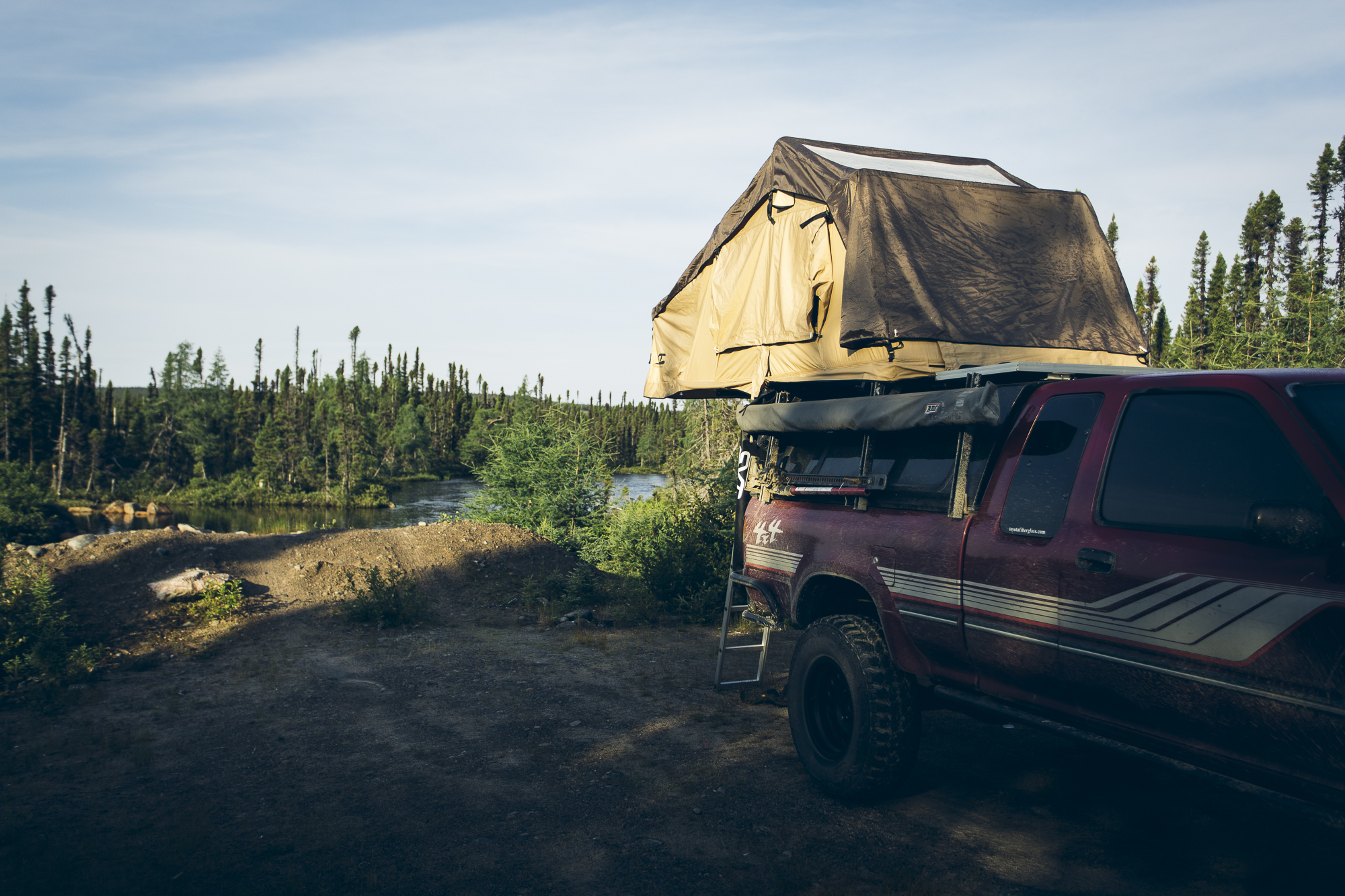
Due to the presence of extremely aggressive black flies, we didn’t do any extra-curricular activities in Labrador. Our days were spent tackling as many kilometres as we could, stopping at an impromptu spot to camp (usually on the side of the road), leaping out of the cab of the vehicle and setting up our rooftop tent as quickly as possible so we could take advantage of its shelter from the Lord of the Flies.
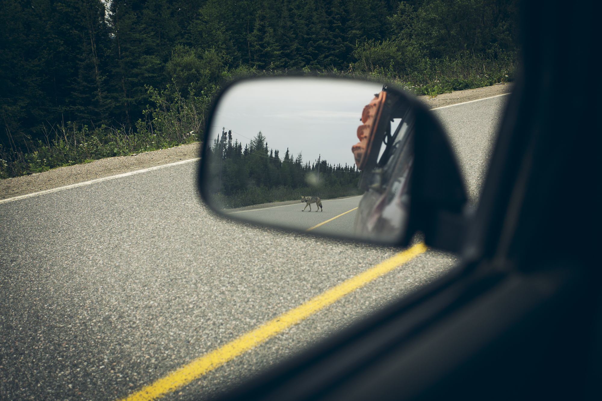
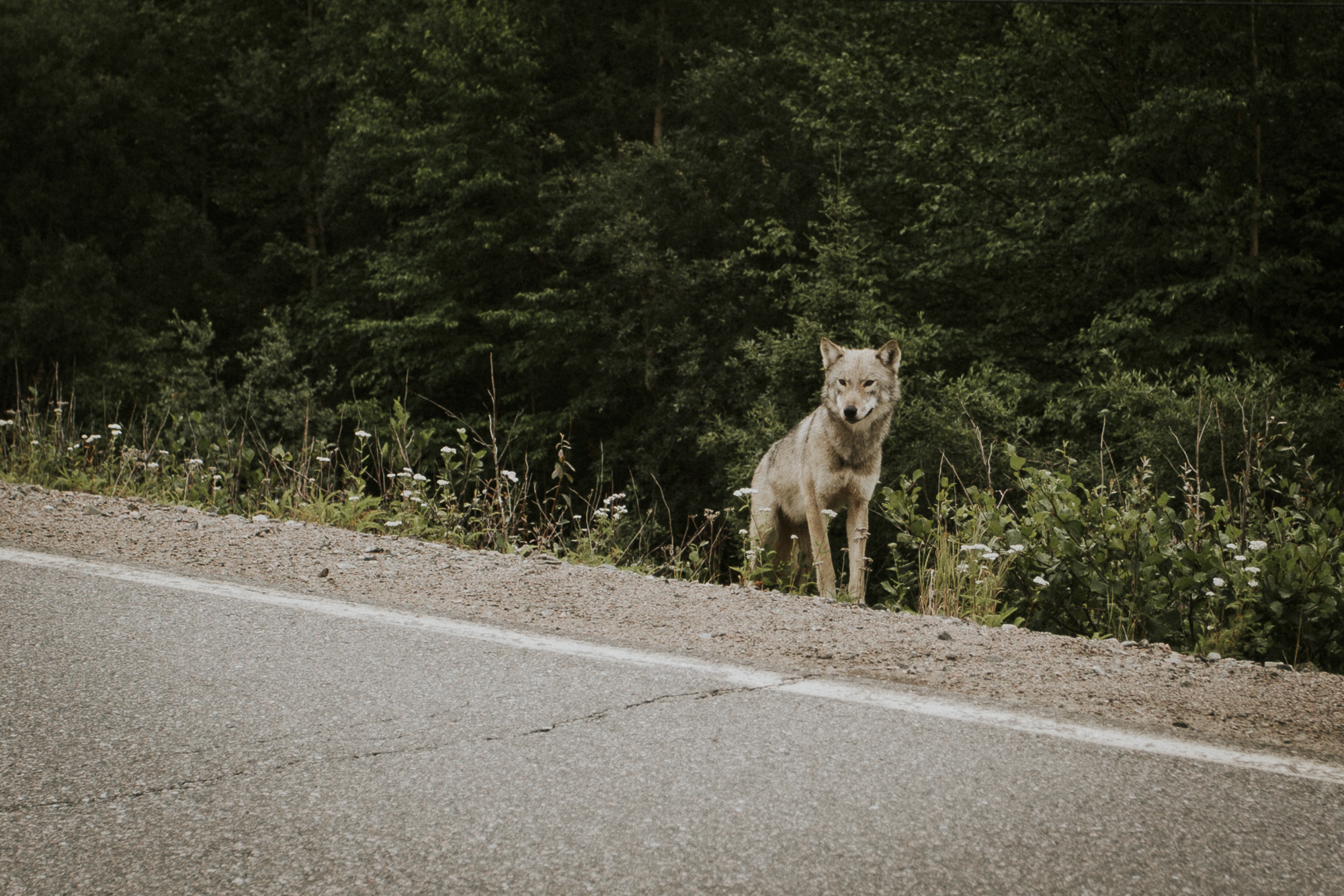
This little grey wolf seemed curious about what we were doing on the TLH. We stopped after he poked his head out of the bushes. At that point he circled (stalked?) the truck, stared us down for a moment, and then sauntered back into the woods. A simple and memorable experience just because we took the road less travelled.
After four long days of driving we rolled into Québec, ready for a hot shower and some of Montreal’s finest poutine.
Planning a trip to Newfoundland/Labrador?
Click below to pin to your Pinterest Travel Board!